Snow and ice warning in place for parts of Northern Ireland

 Cara Coll
A further weather waning for snow and ice has been issued for Northern Ireland for Wednesday evening until Thursday afternoon.
The new warning lasts from 17:00 GMT on Wednesday until noon on Thursday.
Frequent wintry showers are expected to continue moving inland, bringing a further risk of snow and icy conditions.
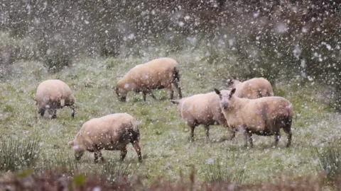
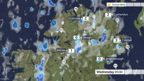
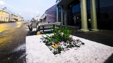
Temperatures dropped close to freezing and there were several showers across Northern Ireland on Wednesday morning falling as a mix of rain, sleet and snow.
There is some lying snow on the mountain roads in the north west, mainly the Glenshane Pass and the Coleraine Mountain Road.
As temperatures dip during Wednesday evening, there is an increased risk of snow beginning to settle in some areas, with ice forming on some untreated roads and pavements.
Many low-lying areas, particularly further south away from the north coast, are expected to see little in the way of snow, but 1-2cm could fall in a few spots.
Higher routes, including the Glenshane Pass, are likely to see between 3-5cm of snow, with larger amounts possible across higher parts of the Sperrins.
The Met Office has warned there could be some travel disruption as a result, as well as a risk of injuries from slips or falls on icy surfaces.
How cold will it get?
The Arctic air will bring temperatures down, well below average, both by day and by night in the coming days.
Highs between 3-6C are forecast on Wednesday and Thursday with the wind chill making it feel closer to freezing.
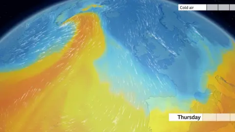
The average day time high at this time of year is closer to 10C.
Sub-zero temperatures are also forecast for Wednesday and Thursday night, leading to frost and a further risk of some icy patches.
Temperatures are expected to rise a few degrees closer to average over the coming weekend.
 Aisling Kelly
Met Éireann issues snow warning
A warning for snow and ice has also been issued for five counties in the Republic of Ireland from 00:00 local time on Wednesday.
The Met Éireann alert warns of hail, sleet, and snow with modest accumulations in places, especially over high ground.
The warning for Cavan, Donegal, Leitrim, Monaghan, and Sligo lasts until noon on Thursday.
