Potholes map does not tell full story, says council

 PA Media
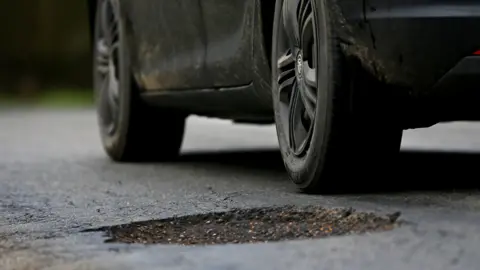
A council has criticised a government potholes map which highlights roads that fail to meet expected standards.
Drivers in England can see how local authorities are tackling the problem via a Department for Transport (DfT) mapping tool and colour-coded ratings.
West Northamptonshire Council is one of 13 local authorities that received red ratings based on the condition of their roads and how they are spending government money on repairs.
The council said it was important that local authorities understood the DfT's methodology and had "more engagement taken place", the council was "certain we would not have received a red rating".
The BBC asked the government for a response.
The DfT rated 154 local highways authorities as red, amber or green.
A council spokesperson said: "Representatives from highways teams across the country met with DfT representatives this week to discuss the ratings system announced at the weekend."
They said: "It's particularly important that councils understand precisely what methodology the DfT is using so they're clear on what information is required.
"They have accepted that the way this announcement was made wasn't ideal and that more work needs to be done to get it right for next year.
"Under this year's system, many of the areas where we excel don't appear to positively influence the rating we received.
"We recognise that the condition of our roads is still a long way from perfect, and we're working incredibly hard to address this.
"That said, had more engagement taken place and West Northamptonshire Council had been able to provide more clarity around its activity, we're certain we would not have received a red rating."
Follow Northamptonshire news on BBC Sounds, Facebook, Instagram and X.
