Guatemala volcano in pictures

 AFP
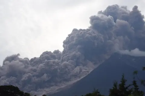
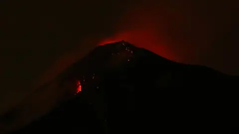
AFPThe Fuego volcano, about 40km (25 miles) south-west of Guatemala's capital, erupted on 3 June, killing at least 25 people.
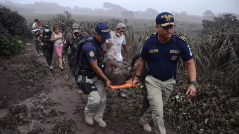
 Reuters
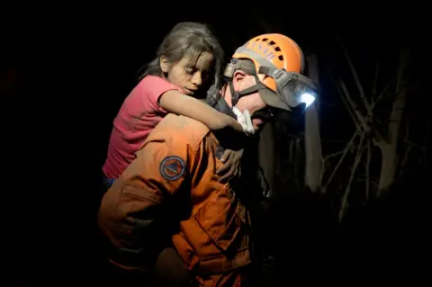
Emergency services worked through the night after lava flows hit El Rodeo and other towns on the slopes of Fuego.
 Reuters
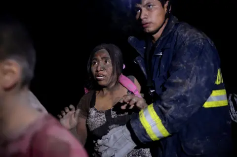
It was Guatemala's deadliest volcanic eruption for more than a century. President Jimmy Morales declared three days of national mourning.
 Reuters
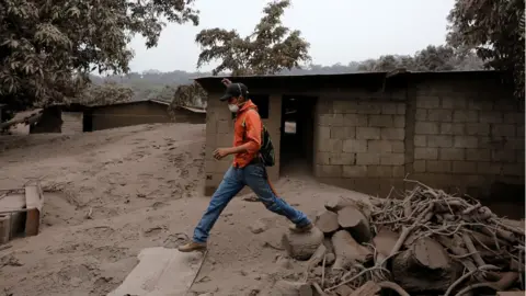
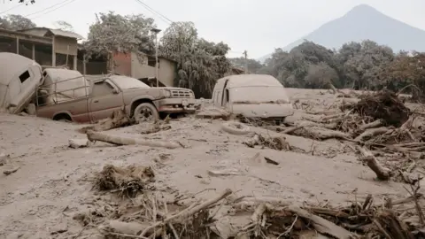
A mix of red-hot rock and gas, known as a pyroclastic flow, plunged down the mountainside and engulfed villages.
 Reuters
Unlike slow-moving lava, which people may be able to escape from on foot, pyroclastic flows can reach extremely high speeds.
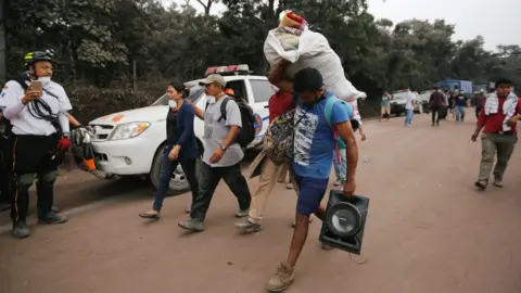
 Reuters
Fast-moving flows hit villages, killing people inside their homes. Hundreds were injured and many are missing.
 AFP
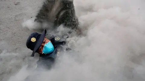
AFPVolcanic ash rose many kilometres into the sky, and fell as far away as the capital, Guatemala City.
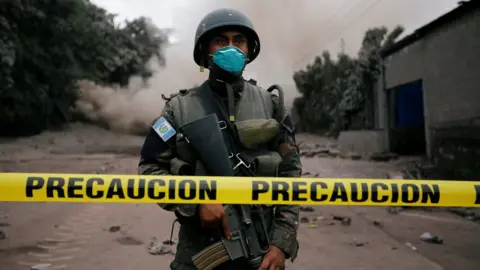
 Reuters
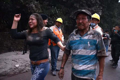
Residents have been told to wear masks as protection in four regions. A total of 1.7 million people were affected by the eruption.
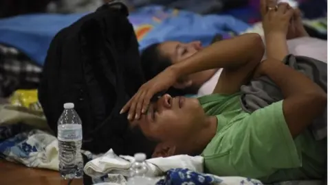
 Reuters
Temporary shelters have been set up for survivors, including the one below in the city of Escuintla, south of Guatemala City.
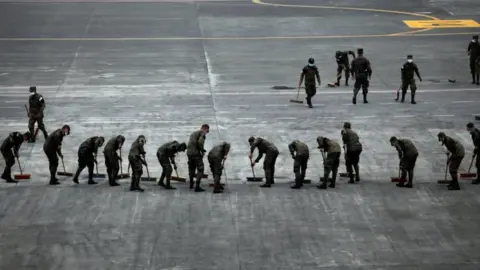
 AFP
AFPThe military has provided assistance, clearing volcanic ash from the runway at Guatemala City's La Aurora airport.
 Reuters
Another eruption in February this year sent ash 1.7km (1.1 mile) into the sky, but Sunday's event was on a much greater scale.
 AFP
AFPMore eruptions from the Fuego volcano are feared.
 Reuters