New geological map of what lies beneath Wolds

 BBC
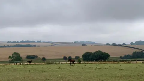
BBCA new geological map of the Yorkshire Wolds will provide crucial data that could help in protecting water supplies, experts say.
Geologists at the British Geological Survey (BGS) have updated information on some areas of the Wolds that were last mapped in the 1800s.
The five-year project analysed the chalk underneath the Wolds, which the BGS said was a natural reservoir.
The chalk is an aquifer and is important as the primary drinking-water source for the area.
A chalk aquifer is a layer of permeable rock that acts like a giant sponge, holding rainwater, before feeding it back into streams and rivers.
The BGS said the aquifer currently faces pressure from increased water demand, nitrate contamination and the risk of salt water from the Humber estuary mixing with drinking water.
Laura Burrel Garcia, a survey geologist at BGS, said the new data would help authorities make informed decisions around pressures on the water source - "including drought, coastal erosion, water quality and saline intrusion into the aquifer".
The project was a collaboration between the Environment Agency, Yorkshire Water and BGS.
Ms Garcia said: "Our ability to better understand what lies beneath our feet has vastly improved thanks to technological advances and a modern understanding of geology."
Listen to highlights fromHull and East Yorkshire on BBC Sounds, watch the latest episode of Look Northor tell us about a story you think we should be coveringhere.
Download the BBC News app from the App Store for iPhone and iPad or Google Play for Android devices
