Drivers warned flood-prone road is closed

 Shaun Whitmore/BBC
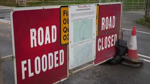
Drivers have been warned to avoid a flood-prone road after water rose to its highest levels this year.
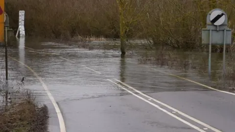
The A1101 Welney Wash Road, on the Norfolk-Cambridgeshire border, has been closed after it regularly floods and becomes impassable.
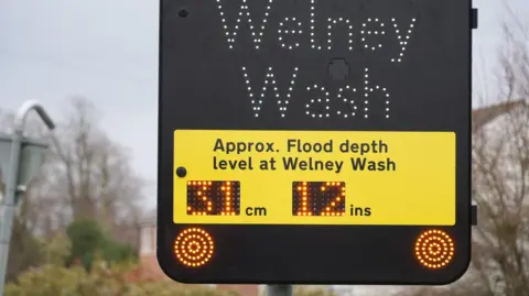
Ken Goodger, co-founder of Welney Flood Watch, said the water had reached 2.8m high (9ft 2in) at 08:00 GMT and was still rising.
"We're trying to save someone from making an expensive journey and detour - and advising people to find an alternative route," he said.
"It's the highest it's been since 14 December 2024 and while it's not as bad as then, it could get worse if it keeps raining," he added.
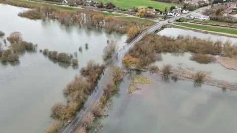 Shaun Whitmore/BBC
The A1101 Welney Wash Road crosses the 30km-long (19 miles) reservoir near the village of Welney, on the Norfolk-Cambridgeshire border.
In 2022 a flood barrier was installed by the Environment Agency to prevent water spilling from the reservoir into Welney village.
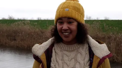 Shaun Whitmore/BBC
Bushra Scuhitemaker, who lives locally, said she has regularly seen motorists getting stuck in the water over the years "even though there are road closed signs telling you how deep it is".
She said: "We've got a lot of farmers with tractors available to help people get out, but because the road is closed you have to pay for any services to help rescue you.
"It is a long diversion, but you know - it's still cheaper with the fuel cost than anything that could happen to your car, plus for the emergency services that then have to come out and rescue you as well."
 Shaun Whitmore/BBC
Goodger, who is a member of Welney Parish Council and a farmer, set up the Facebook site Welney Flood Watch with Mat Barker in 2020 to provide up-to-date information on the water levels and prevent drivers from getting trapped.
"Sometimes as many as five or six fire engines have to turn up to help and we thought how can we stop all these call outs," he said.
"The objective is to stop people from going into the water - and stop the emergency services being called out unnecessarily."
 Shaun Whitmore/BBC
Follow Norfolk news on BBC Sounds, Facebook, Instagram and X.
