Mist or fog, what is the difference?
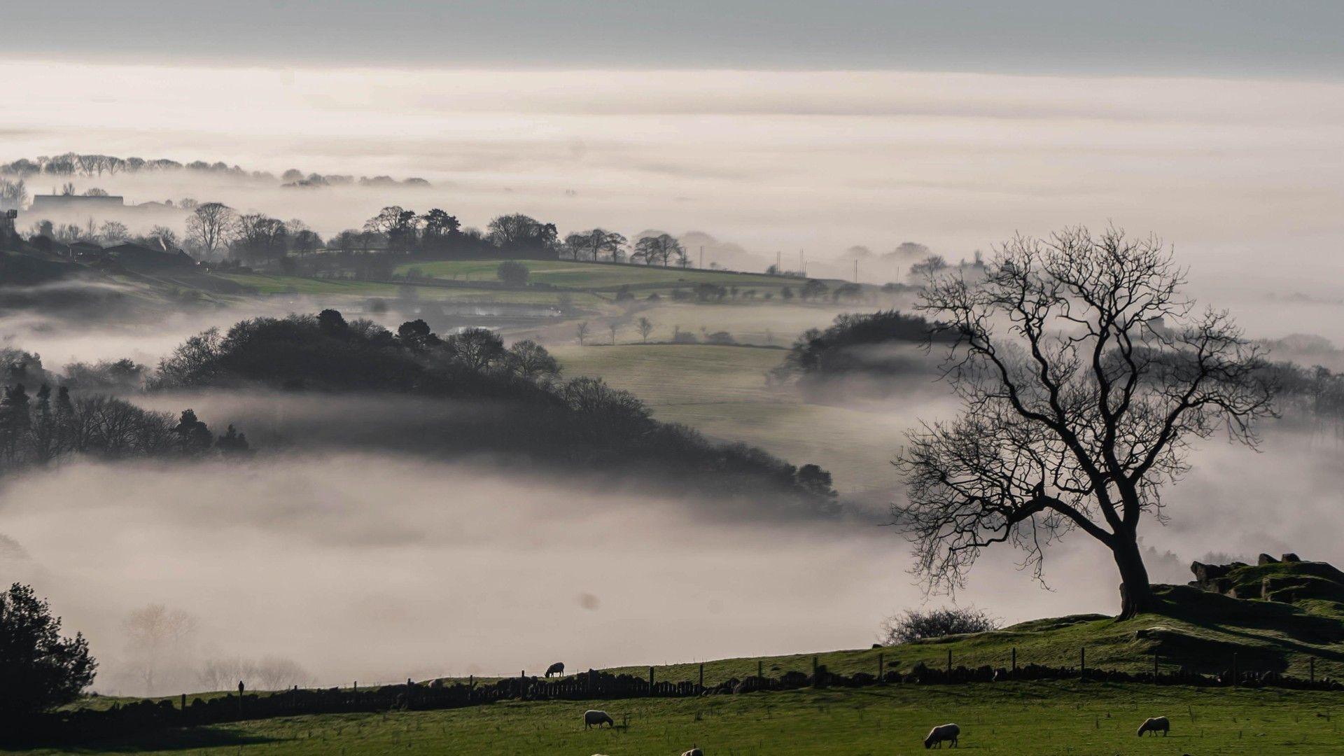
Atmospheric mist in the valley in Leek, Staffordshire
- Published
We tend to talk about mist and fog as if the two things are interchangeable but in fact there is a distinct difference between the two.
That difference is the distance you can see through them. Fog is thicker than mist and therefore harder to see through.
Because of that fog is more disruptive and has the capacity to have significant impacts on our day to day travel plans. It can also cause severe transport disruption to aviation and shipping.
In addition, fog takes much longer to clear.
What is fog?
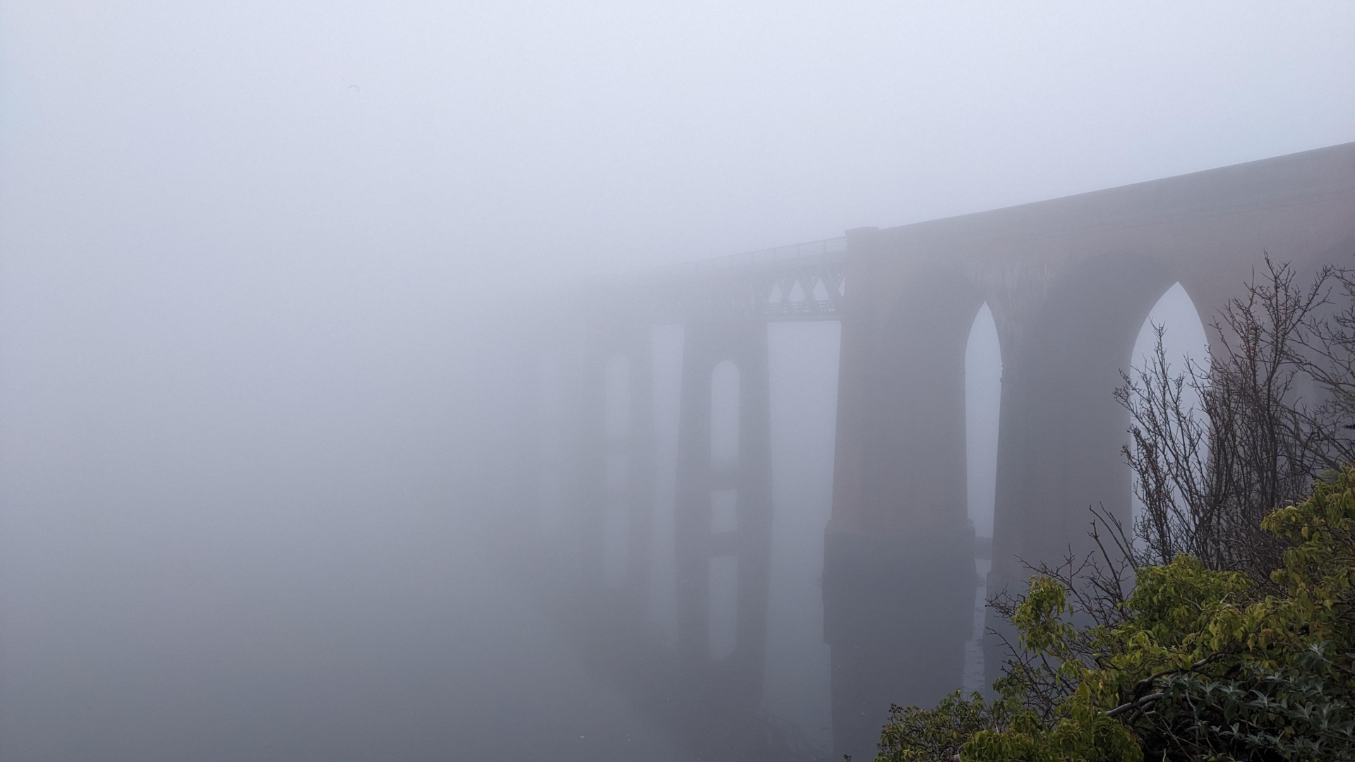
A foggy bridge in Wormit, Fife
Fogis just cloud that sits at ground level, andforms when tiny water droplets are suspended in the air.
If visiblity is below 1,000m then it is termed aviation fog which particularly affects aircraft.
If the droplets create a thick enough layer to reduce the visibility to below 200m on the roads for you and me it is called fog. When it is 100m or less, it is dense fog. This has to be one of the most dangerous elements to drive in.
What is mist?
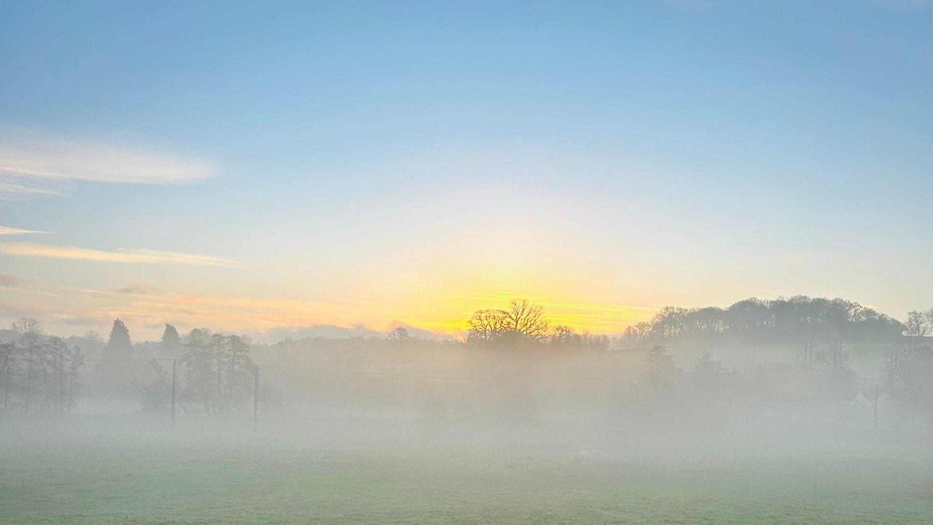
Morning mist, disturbed by the rising sun.
Mist is similar to fog in that it reduces the visibility but not below 1,000m, it's less dense and so it thins and clears more quickly as a result.
It is what you see when you can see your breathe on a cold day.
How do mist and fog form?
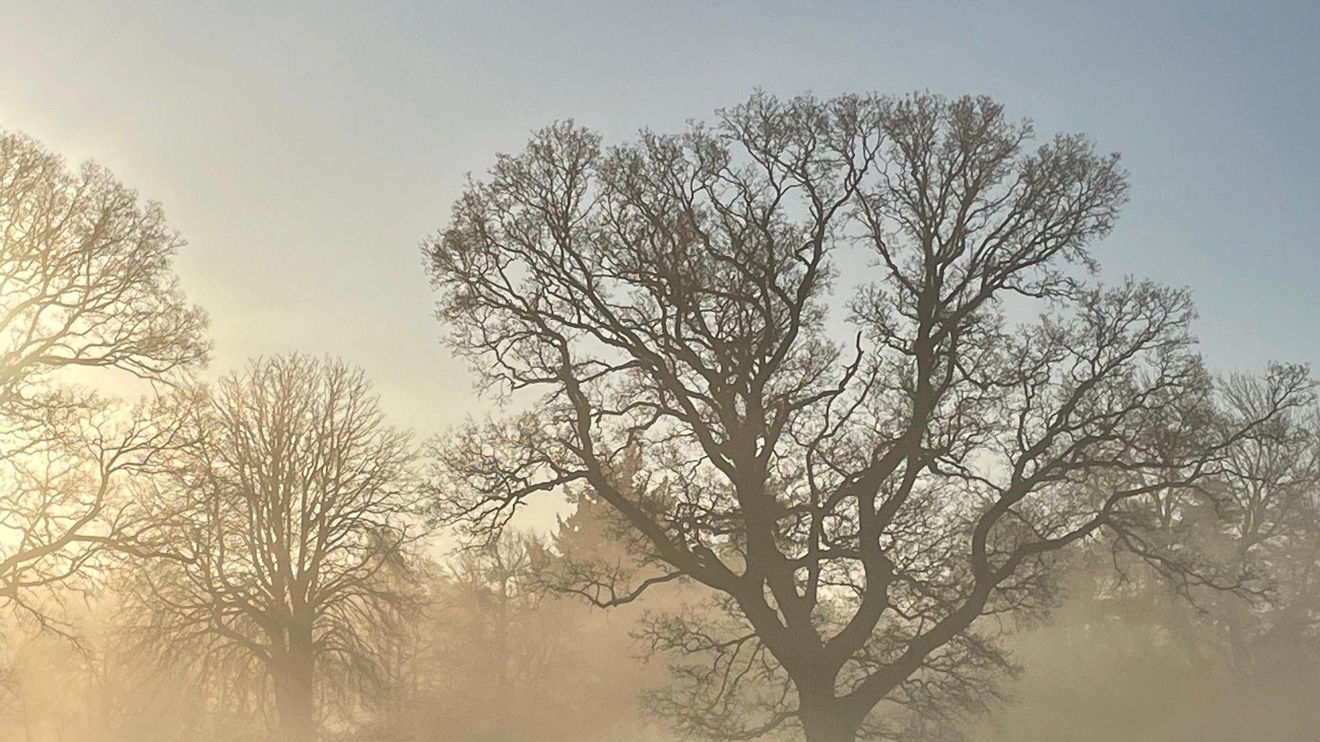
Morning mist in Maidenhead.
Mist starts forming as the air near the ground becomes saturated, once the air cannot hold any more moisture, the tiny water droplets hang in the air limiting our view.
As the night goes on if conditions remain favourable then the mist will thicken and once the visibility drops below 1,000m it becomes aviation fog.
What are the different types of fog?
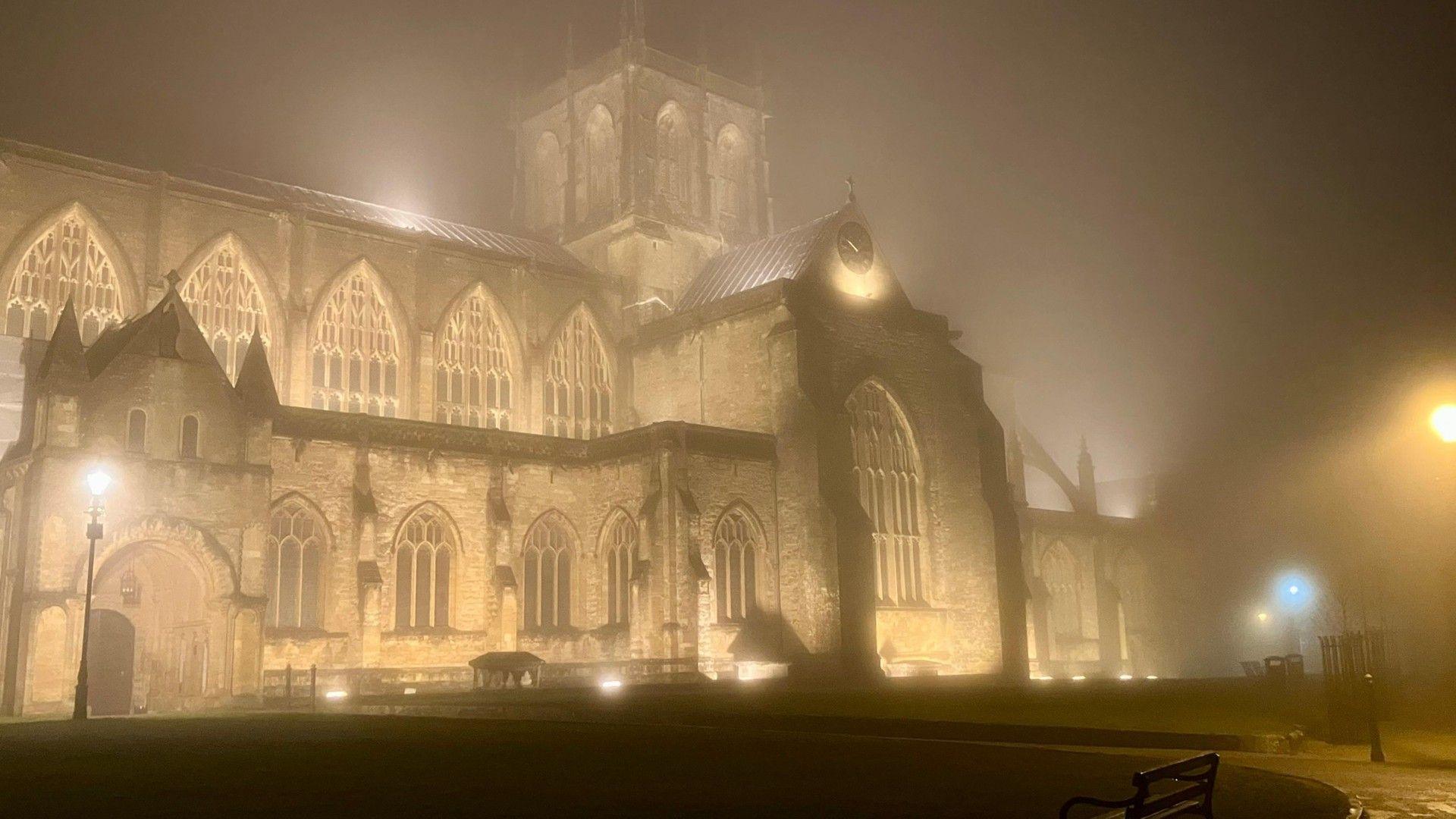
Spooky night in Sherborne with mist shrouding the Abbey
Now there are several different types of fog which form in slightly different ways.
Radiation fog forms under clear and calm conditions.The ground and then surrounding air cools and it's capacity to hold moisture reduces. It becomes saturated then condensation occurs leading to mist then fog.
Valley fog happens when cold heavier air sinks to the bottom of the valley and condenses into fog.
Advection or often sea fog is formed when warm moist air passes over a colder surface causing condensation. Here in the UK we see it when tropical air moves over our cooler waters in winter, this can shroud the coastline in fog as well as the sea.
Hill or up-slope fog forms when air is forced to rise up a slope and hence cools and condenses. It can also happen because the base of the cloud is lower than the hill height, so upland roads will be foggy. This is a particular problems for Pennine routes and the heads of the valleys road in south Wales.
Evaporation fog occurs as cold air flows over a warm water source, the water evaporates into the surface air which is colder and can't hold as much moisture so condenses into fog.
Freezing fog are super-cooled water droplets, in air that sits below freezing and can lead to treacherously icy conditions.
What about haze?
Haze is a little different to mist and fog.
Mist and fog are determined by the resultant visibility which relies on the air being saturated too, over 95% humidity.
Haze is also a reduction in visibility but this time it is caused by tiny particles of dust, smoke or pollution in the lower atmosphere.
This causes the sky to look hazy or milky, and less bright blue as these particles also scatter the light more and at sunset the sky can turn a little reddish.
When will the fog lift?
Have you ever wondered how to work out when the fog will lift?
Well I'm going to let you into a little secret about a strangely accurate forecasting trick we use – it's not set in stone, but is a good start.
It's called the Barrow fog rule and is based on the month of the year. It's used for the clearance of radiation fog.
In January, the first month of the year, it's twelve minus one, so fog should clear around 11:00, in February around 10:00.
Through the second half of the year, say September, it's the month number minus one, so 09:00.
In December, the twelfth month it clears around midday
The clock changes in late March and October do throw a small spanner in the works but as a general rule it works more times than you think.
Perhaps give it a try next time you wake up to fog.
Is the snow and ice set to return again this January?
- Published12 hours ago
Why 2026 looks bright for Northern Light sightings
- Published29 December 2025
How cold does it have to be to snow?
- Published30 December 2025