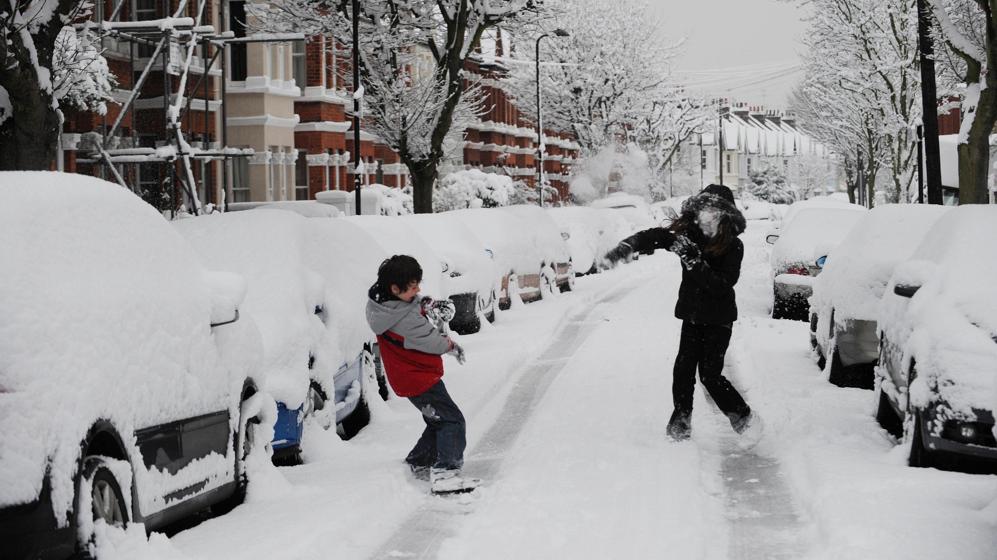
Is there more snow and ice on the way?

- Published
Forecasters are predicting a colder spell of weather to take hold in the UK for the end of January and into the start of February.
A battle between cold air from the east and milder conditions from the west will be taking place this week, with a growing likelihood of colder air winning into next week.
Some places will see an increased chance of sleet and snow although details remain uncertain at time stage.
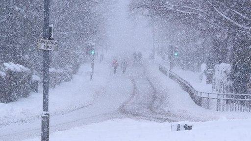
However, before the colder conditions kick in we're expecting another round of wet and windy weather to dominate for the next few days.
Wind and rain ahead of the cold

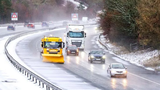
Met Office warnings for wind and rain come into force through this week
Low pressure moving in from the south-west on Tuesday will bring a spell of heavy rain and strong winds initially to the western half of the British Isles.
By midweek those wet and windy conditions will spread across the UK.
The Met Office has issued various weather warnings over the next few days, including a yellow warning for wind in south-west England on Tuesday and a heavy rain warning in eastern Scotland from Wednesday into Friday.
When will the colder air arrive?

The UK will lie in a battleground of mild and cold air into next week
Slightly colder weather is expected across northern areas on Thursday and into Friday, with some snow likely over high ground in Scotland, especially across the Grampians and Highlands.
For most areas temperatures are set to stay around the January average for the rest of the week, then will fall below average over the weekend and throughout the final week of January.
Whilst several longer-range weather forecasting models are starting to agree that temperatures are going to drop more widely towards the end of the month, the change will not be clear-cut. With high pressure expected to the east and lower pressure to the west, the UK will lie just on boundary between cold and mild air.
Forecasting snow in the UK is rarely straightforward because we are an island nation on the edge on a large continent.
Most commonly our weather our arrives from the west - moving in from a relatively mild Atlantic. However, when we do see winds from the Arctic or from Siberia during winter, we can see spells of cold, snowy weather.
The difference between precipitation falling as rain, sleet or snow can be dictated by a change in just a degree or two, meaning forecasters often won't firm up on any snow detail until a few days in advanced.
Keep an eye on the latest thoughts from the BBC Weather team on our website and via the BBC Weather App.

A steady drop in temperature is expected over the next seven days
- Published25 February 2019

- Published2 January

- Published15 December 2025