Weather warnings in place as rain continues across most of UK

Flooding in Cumbria's Lake District following the weekend deluge
- Published
Rain is set to be the main weather feature of the week across most of the UK.
An amber weather warning for rain is currently in place across south Wales, valid until 21:00 GMT on Monday, with 100mm of rain likely to fall over high ground.
There are also yellow weather warnings for rain for the majority of England and Wales until midnight on Monday.
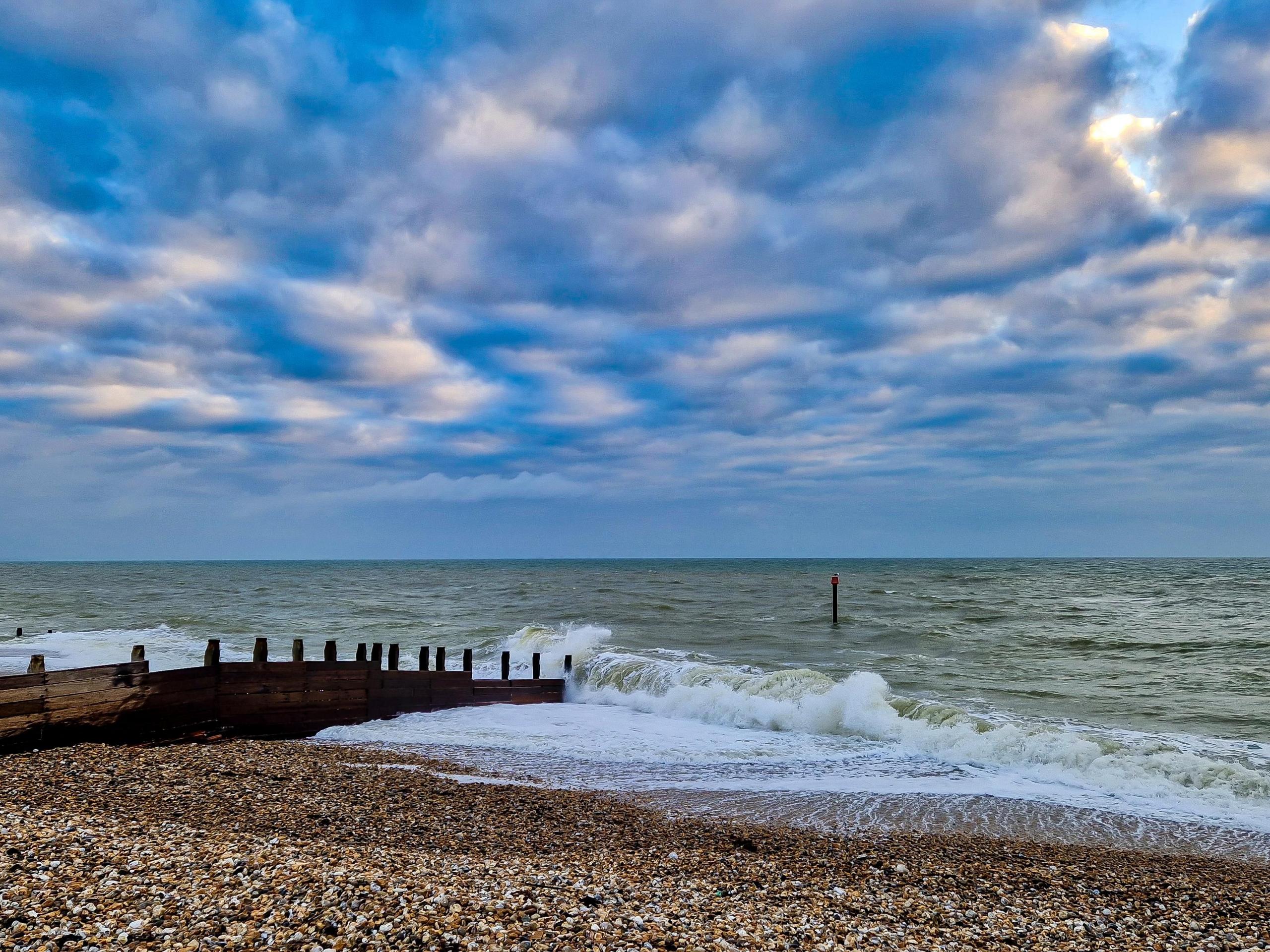
North-west areas of the UK bore the brunt of the weekend's deluge. In Cumbria 359mm of rain was recorded in 36 hours at Honister Pass in the Lake District, not far off record UK rainfall levels. There have been areas of flooding with some roads left impassable.
This all follows a very wet November - Wales, for example, had 59% more rain than average.

Forecast for the rest of the week
Tuesday will be a better day for many areas with drier weather and some sunshine returning. It will be a chilly start to the day with some patches of frost in rural western areas.
The same weather front that deluged Cumbria and Wales won't have completely gone away, bringing wet weather to eastern England. The rain won't be heavy for most areas, but there will still be some heavier rain for a time in parts of Yorkshire with a risk of some localised flooding.
On Wednesday a new area of low pressure will bring wet and windy weather to the UK. The strongest winds will be in north-west Scotland with gusts reaching 60-70mph, meaning there may be some localised transport disruption.
Meanwhile, gusts of 45-55mph are likely around some Irish Sea coasts. These strong winds will have the benefit of blowing the rain across the UK quickly, preventing rainfall totals from building up in any one area.

Wednesday's low pressure will bring wet and windy weather to the UK
Thursday will bring more rain across England and Wales. The heaviest rain looks to be across southern areas, with 20-30mm likely. This could be enough for a few areas of localised flooding given that the ground is saturated here. Scotland and Northern Ireland will also have some rain for a time, but this will clear through more quickly with sunshine and a few showers following. It will stay quite windy for all areas.
Friday will be a day of sunshine and showers, so brighter weather for many. The showers will be most frequent in the north-west of the UK, it will stay dry for many areas in the east. It will be another windy day, but especially for north-west Scotland with gusts around 60mph.
Colder next week, but will it be a white Christmas?
In the run up to Christmas next week, high pressure will likely build to the north of the UK or perhaps Scandinavia. An easterly wind flow is likely to become established for a time and temperatures will drop.
At this stage it doesn't look like the air coming from the continent will be particularly cold so it could end up being quite cloudy in eastern areas with frequent rain showers accompanied by a chilly wind.
Temperatures are likely to come down to average, or perhaps an odd degree below, but wintry weather looks to be unlikely - keep checking BBC Weather for the latest forecast.
- Published17 hours ago
- Published16 December 2025

- Published7 December 2025