Spring-like warmth to peak on Wednesday with 18C forecast

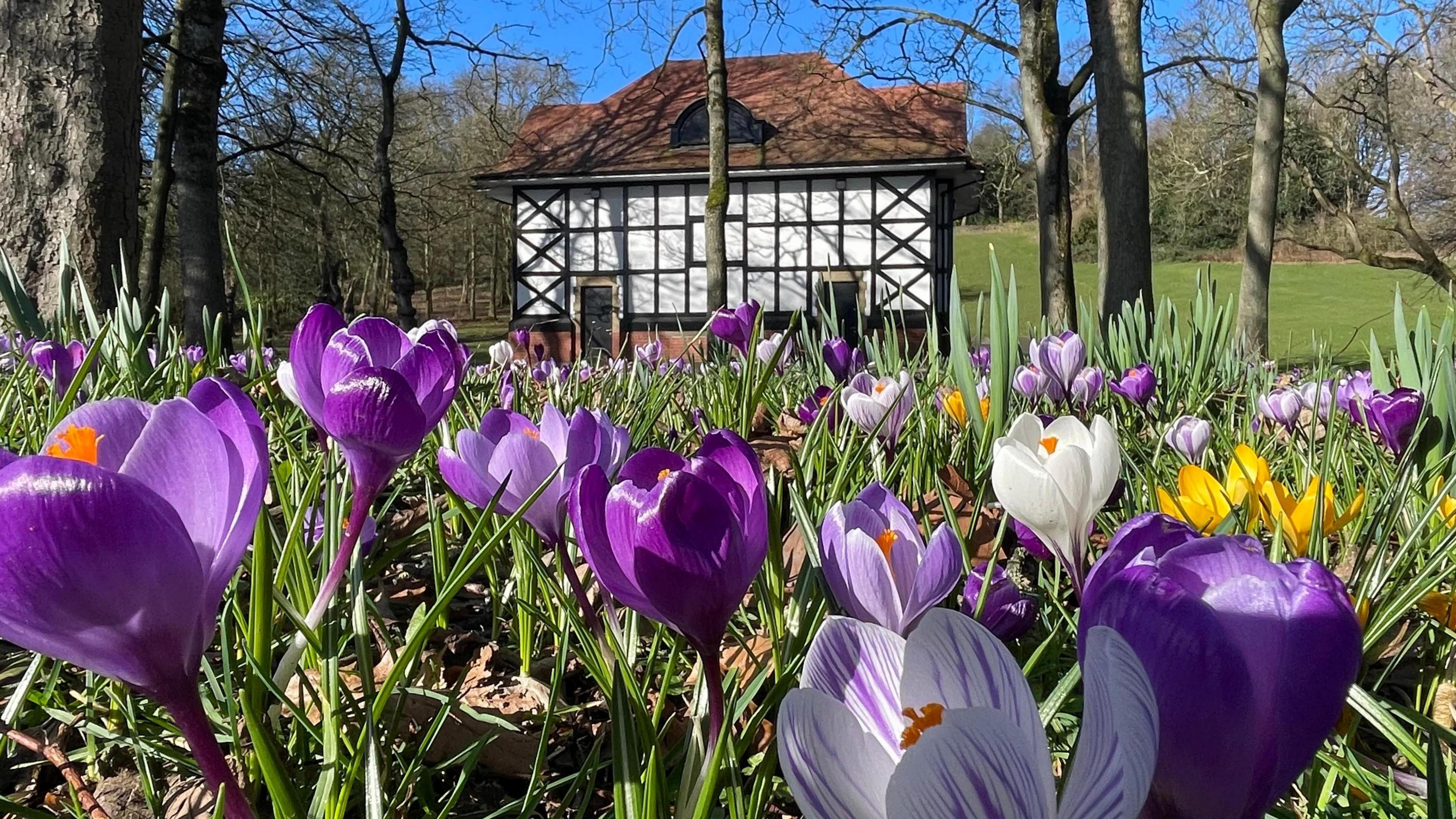
Warmer weather has been welcomed by all creatures great and small
- Published
Spring is just around the corner, but for some of us it feels like it has started already.
Not only are daylight hours increasing at around four or five minutes a day, but we are moving into the time of year when temperatures can rise quite rapidly.
A change to mild south-westerly winds from the Atlantic has led to higher temperatures since last weekend, and it could get warmer still on Wednesday.
While the number of flood warnings has fallen, the rain has not gone away, however.
How high could temperatures get?
The recent milder air has been a welcome change from the earlier cold and very wet weather.
The switch came over the weekend with each home nation recording their highest temperature of the year so far.
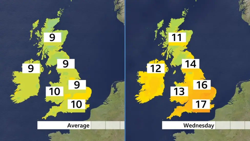
Maximum temperatures on Wednesday compared with the average
Tuesday was the warmest day of the year but temperatures could be higher on Wednesday. More sunshine in eastern England will make all the difference and here temperatures are expected to reach 17-18C (63-64F).
Further north and west there will be more cloud and some rain, but temperatures will still be above average.
To put this warmer weather into context - the last time the temperature reached 18C was 13 November 2025, and the record for February is 21.2C (70.2F) on 26 February 2019 at Kew Gardens.
Wednesday is likely to be the peak of the warmth this week with temperatures back to near average on the last day on February.
When does spring start?
- Published5 hours ago
Could there be more flooding?

The ground is still saturated in some places after weeks of rain
Generally speaking it hasn't been as wet for the last week or so. However, areas of low pressure and spells of rain will continue to be driven over the UK at times as we head into spring.
The wettest weather is expected to be over western hills, particularly in western Scotland. There won't be much rainfall in eastern parts of England - a pattern that is more typical for this time of year.
Given the saturated ground in some parts of the UK, the risk of flooding will remain a concern well in to March.
- Published14 August 2025