Second storm could 'dance' with Hurricane Humberto before impacting US next week

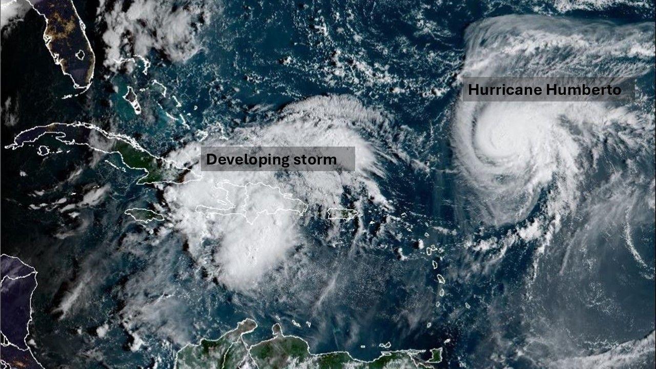
A new storm is developing near to Hurricane Humberto in this NOAA satellite picture
- Published
Hurricane Humberto has developed in the tropical Atlantic becoming the third hurricane of the season.
Although it will continue to strengthen, becoming a major hurricane over the next few days, its forecast track is unlikely to be much of a threat to land.
But it may still play an important role in determining whether or not the US gets hit by another low which could also develop into a hurricane next week.
This area of low pressure is bringing widespread thunderstorms to Haiti, Dominican Republic along with the Turks and Caicos Islands. These storms may bring some areas of flooding over the next few days.
This low is likely to develop into a tropical depression later on Friday and then into tropical storm 'Imelda' over the weekend as it moves into the Bahamas. It will be moving across some very warm seas with temperatures 1-2C above average, which it will draw its power from to potentially become a hurricane early next week.
At first Hurricane Humberto and the developing storm will be far enough apart to grow and move independently of one another, but Humberto is moving much more quickly and by early next week could be close enough to have a big influence on the developing storm's track and potential strength.

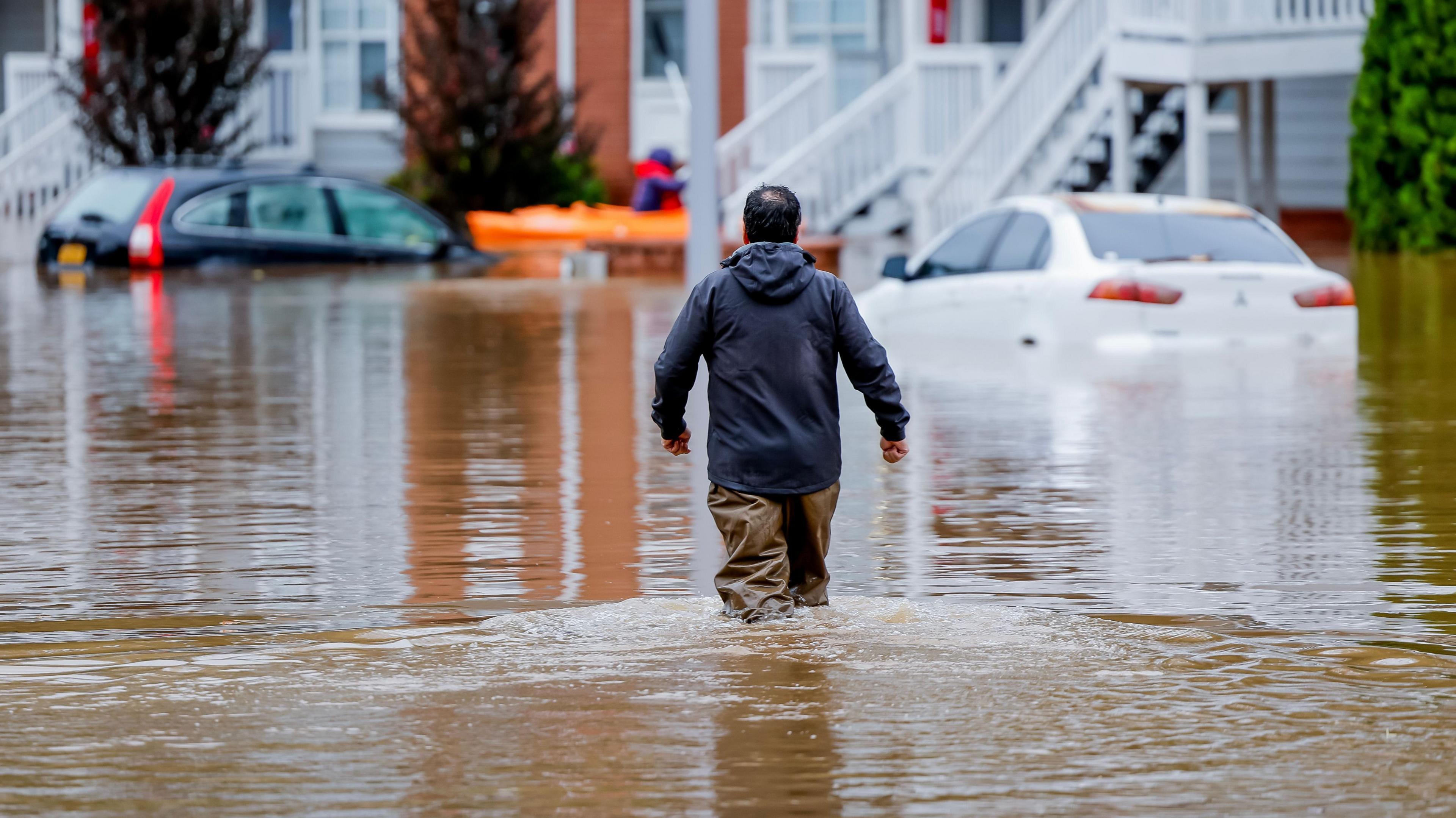
Flooding in Atlanta in 2024 following Hurricane Helene
What is the Fujiwhara effect?
The Fujiwhara effect describes the weird and wonderful things that can happen when two hurricanes (or two areas of low pressure) get very close to each other. The closer the storms get, the greater this effect. It is named after Sakuhei Fujiwhara, the Japanese meteorologist who first described the effect.
Sometimes two hurricanes can end up orbiting around each other like ballroom dancers performing the waltz, gradually spinning closer and on occasion merging into a larger, more powerful storm.
On other occasions we can see an abrupt change in direction of one or both storms. Much depends on the strength of each system and exactly how close they get to one another.
We know that forecasting the exact track and strength of one hurricane is difficult enough many days ahead, but this Fujiwhara effect adds even more uncertainty and complication to what may happen to the developing low pressure if indeed it forms as expected.
Cyclones, Typhoons, Hurricanes - what's the difference? Video, 00:01:49
- Published12 July 2019
There are three main scenarios for next week that are emerging in some of the computer model forecasts.
Firstly the developing, deepening low could become very slow-moving effecting the western Bahamas for a number of days before moving out to sea.
Secondly, it could make landfall around Georgia and South Carolina in the US bringing flooding rain and damaging winds here.
Alternatively, an area of high pressure could block the low from reaching the US coast and instead it just stays out to sea.
We'll continue to monitor the latest computer forecasts over the coming days to work out which areas are most at risk.
Weekend rain warnings issued by Met Office but end of September will be drier
- Published26 September 2025

Click here to play 'Cooler than me?'