Weekend rain warnings issued by Met Office but end of September will be drier

- Published
The Met Office has issued yellow warnings for rain across parts of the UK for this weekend.
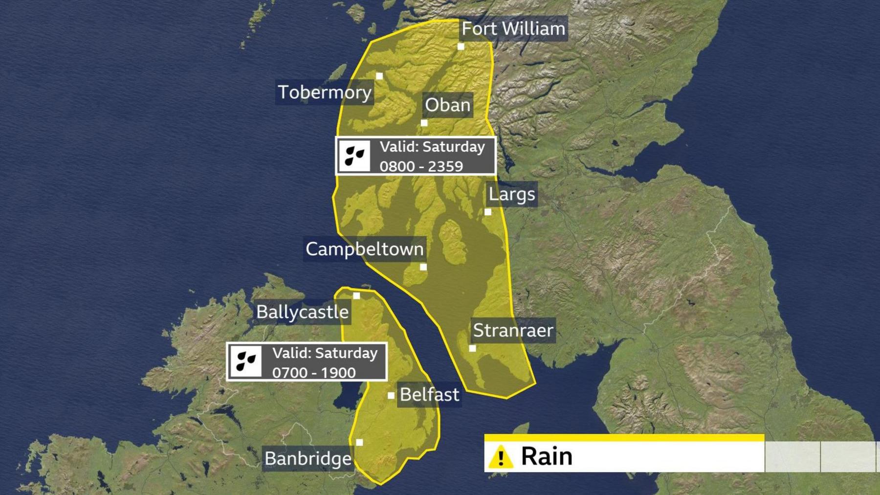
Localised flooding and travel disruption are possible in south-west Scotland and Northern Ireland on Saturday thanks to a slow-moving weather front.
Despite a little rain elsewhere, there will be parts of the country that stay dry for much of the time.
It will feel warm in some sunny spots with temperatures rising to 18C (64F) in places and nights will generally be a little milder than of late.
A soggy Saturday for some
Eastern counties of Northern Ireland are covered by one Met Office warning, with another focused on the west and south-west of Scotland.
Widely 30-50mm (1.2-2.0in) of rain could fall, with up to 70mm (2.8in) in parts of western Scotland.

The warnings are valid for most of Saturday
This rainfall will bring the threat of travel disruption with possible surface water, flooding on roads and delays to trains and buses.
A few homes and businesses could be flooded and power cuts are also a possibility.
The weather front responsible for the rain will be slow to clear.
Some wet weather will eventually arrive in other parts of Scotland - along with Wales and northern England - during Saturday afternoon but much of southern and eastern England will remain largely dry.
High pressure will begin to re-establish itself on Sunday meaning most places will see drier weather and some sunshine, although some rain is still likely - especially in northern and eastern parts of the UK.
September weather see-saw
This mixed weekend is just the latest chapter in what has been a meteorological autumn of big ups and downs so far.
It was a very wet start to the season, especially in the south and west of the UK.
In the first two thirds of September some places recorded double the rainfall they would typically expect over the course of the whole month.
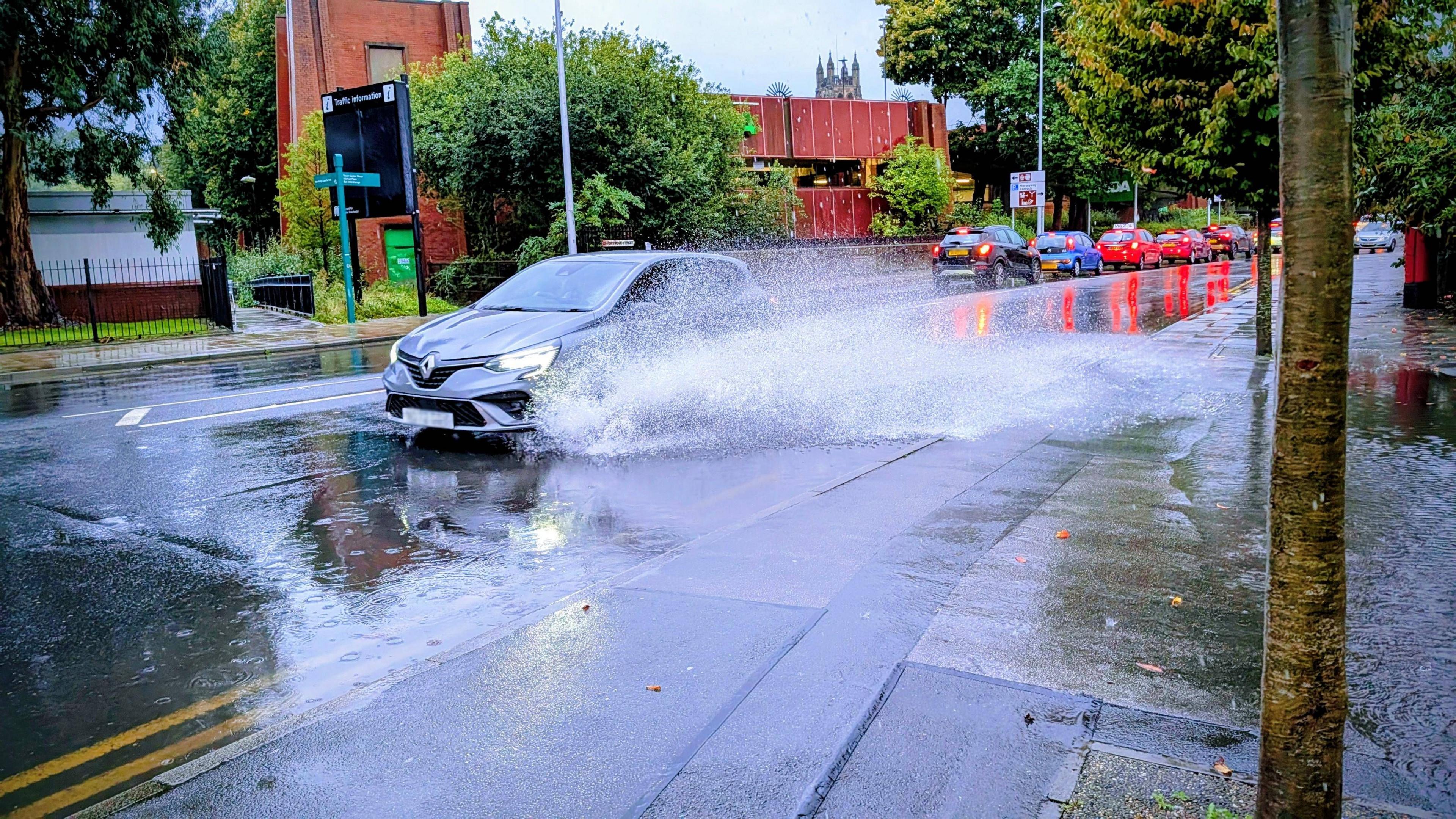
Dozens of flood warnings were in place across north-west England, the West Midlands and parts of Wales, where some local roads became inundated with water.

September has seen challenging travel conditions in some parts of the UK
The persistent wet weather has been due to a strong jet stream acting like a conveyor belt, spinning up and steering a series of low-pressure systems directly toward the UK.
This classic early-autumn pattern is driven by the sharp temperature contrast between the pole and subtropics, which energises the jet and pushes deep lows that bring heavy rainfall and strong winds.
However, by 21 September, the jet stream weakened allowing high pressure to build.
This shift brought a week of sunny spells and lighter winds, with many locations recording almost no rain.
It also delivered some of the coldest nights of the autumn so far, with temperatures dropping to -2C (28F) in parts of northern England and Scotland.
Has September rainfall alleviated the drought?
Regionally, every area (including Northwest Scotland) is still running a deficit when the year is taken as a whole, even South West England and South Wales, despite their wet September so far.
There, the recent steep uptick in rainfall has removed roughly half of the shortfall, but many further weeks of comparable rain would be needed to fully catch up.
However there are some positive signs.
Yorkshire Water says its reservoirs have recorded their biggest weekly rise in 30 years - but warns that hosepipe bans will remain in force for now, with levels still below the norm for this time of year.
Is there a hosepipe ban in my area? What you need to know
- Published3 September 2025
Spectacular autumn leaves expected after warm UK summer
- Published19 September 2025
Rain or shine to start October?
There is a strong signal for high pressure to dominate the weather pattern for the final days of September, bringing settled conditions with some sunshine.
However, mist and fog patches are likely to form in some areas and weak weather fronts bring the chance of a little rain in the north and west of the UK.

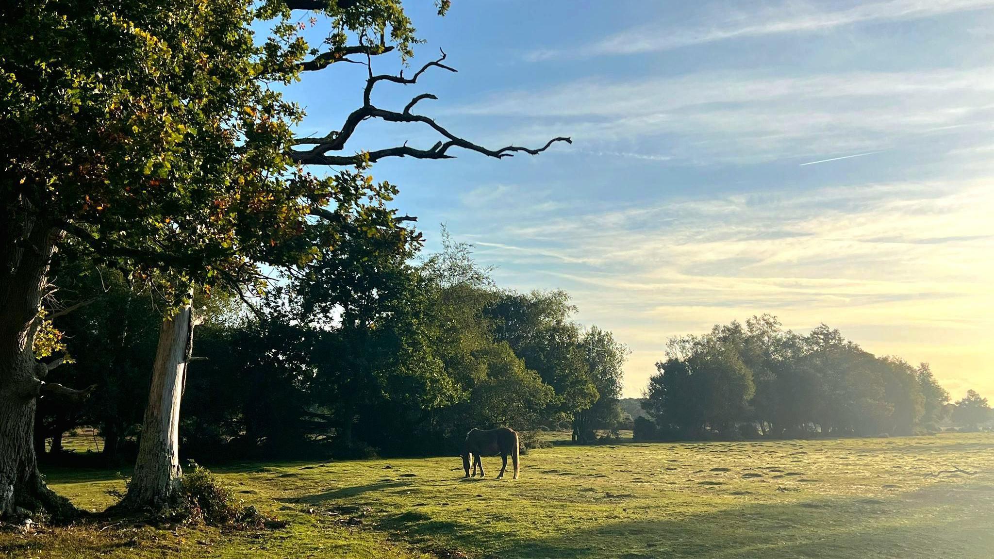
Settled weather should last into the start of October for many
This high pressure regime is likely to last into the beginning of October - but with growing uncertainty, partly due to developing tropical storms and hurricanes on the other side of the Atlantic.
These injections of tropical energy often make it harder for computer models to get a grasp on how longer-range prospects will pan out.
At the moment it looks increasingly likely that low pressure will bring wetter and windier weather later next week, especially in the north of the UK.
But it is worth keeping up to date with the forecast for your area on the BBC Weather app - and read about the longer-range prospects in our latest monthly outlook.

Click here to play 'Cooler than me?'