Heavy rain and gales set to hit UK as weather warnings issued
- Published
A series of powerful low pressure systems have prompted the Met Office to issue multiple weather warnings and name the next storm of the season.
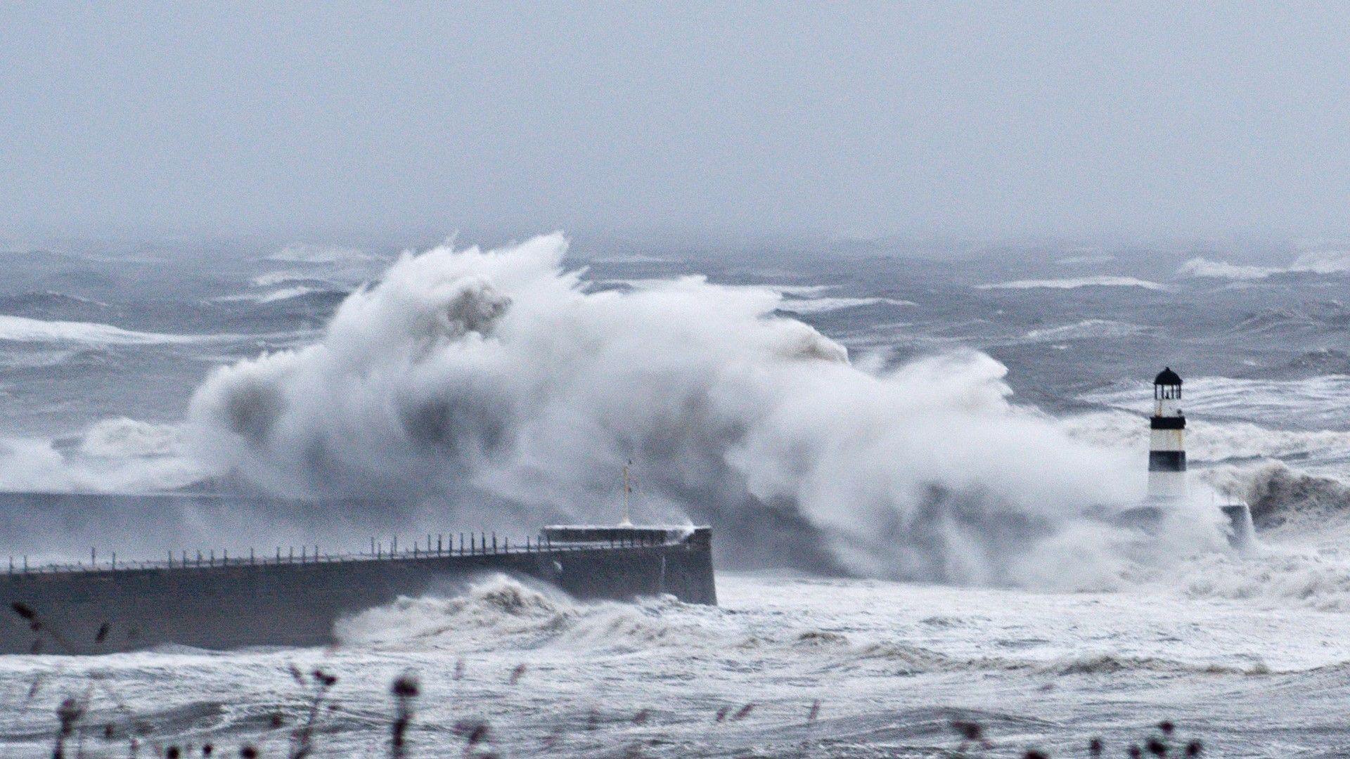
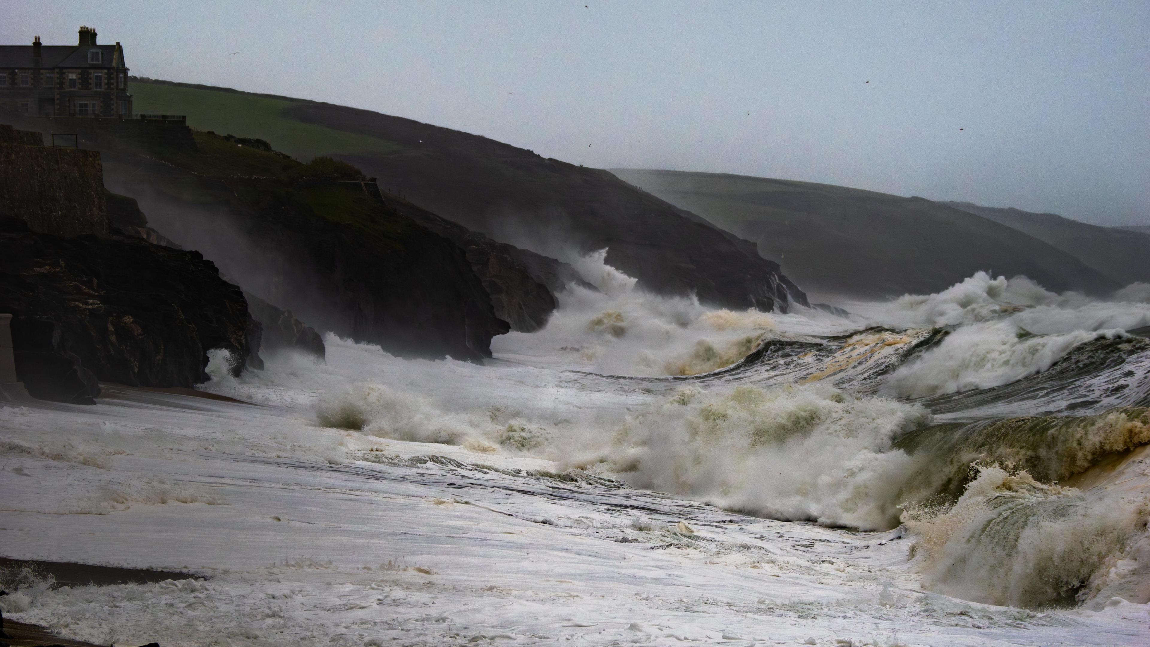
Wind gusts of up to 80mph (129km/h) are possible over the next few days with the threat of large waves, power cuts and flying debris.
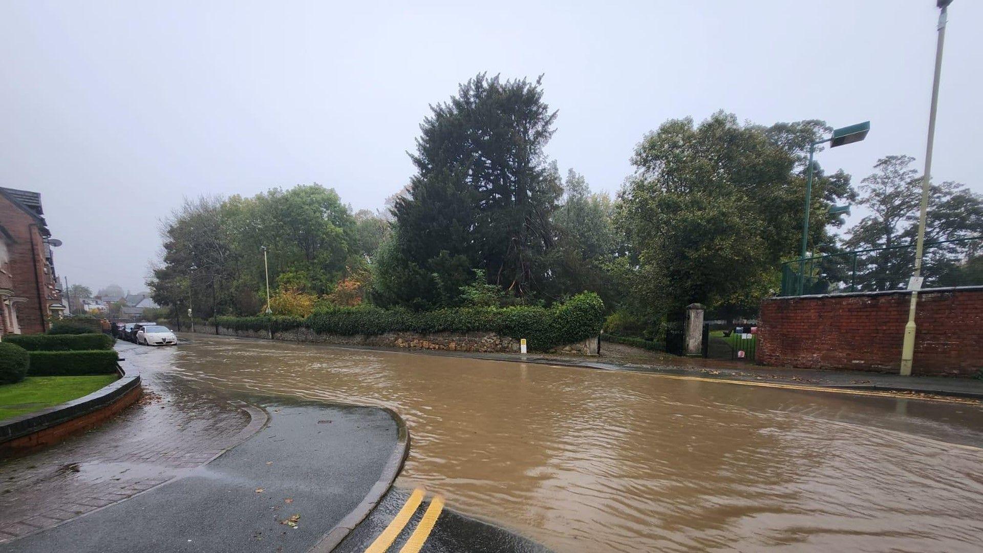
Heavy rain will also bring the risk of flooding and travel disruption - including in areas still recovering from the impacts of Storm Bert.
It is all being driven by a very fast jet stream high in the atmosphere.
Which areas are covered by warnings?
A yellow warning for rain covers parts of north-west England and northern Wales this afternoon and into the evening rush hour.
Up to 25mm (1in) of rain may fall quite widely but high ground in the west may see more, including parts of Wales that were badly affected by Storm Bert less than two weeks ago.
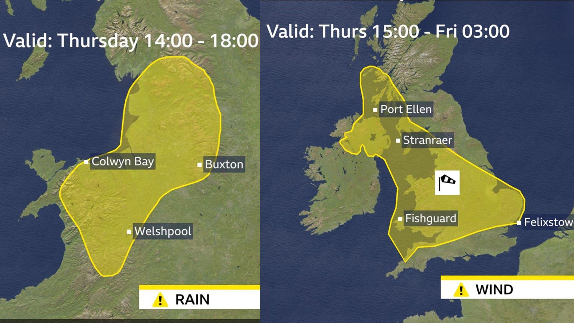
Two Met Office warnings for Thursday
A yellow wind warning comes into force at 15:00 GMT on Thursday in south-west Scotland, Northern Ireland, Wales, northern England, the Midlands and East Anglia.
It is valid until 03:00 GMT on Friday and warns that gusts of 40-50mph (64-80km/h) are likely in inland areas. Coastal spots could see gusts of 70mph (113km/h) with the risk of disruption to travel, including ferry services.
UK weather warnings: What you need to know
- Published22 January
Storm names 2024-25: How do storms like Darragh get their names?
- Published1 August 2025
Storm Darragh to batter UK amid weather warnings for rain and 80mph winds
- Published6 December 2024
Storm Darragh
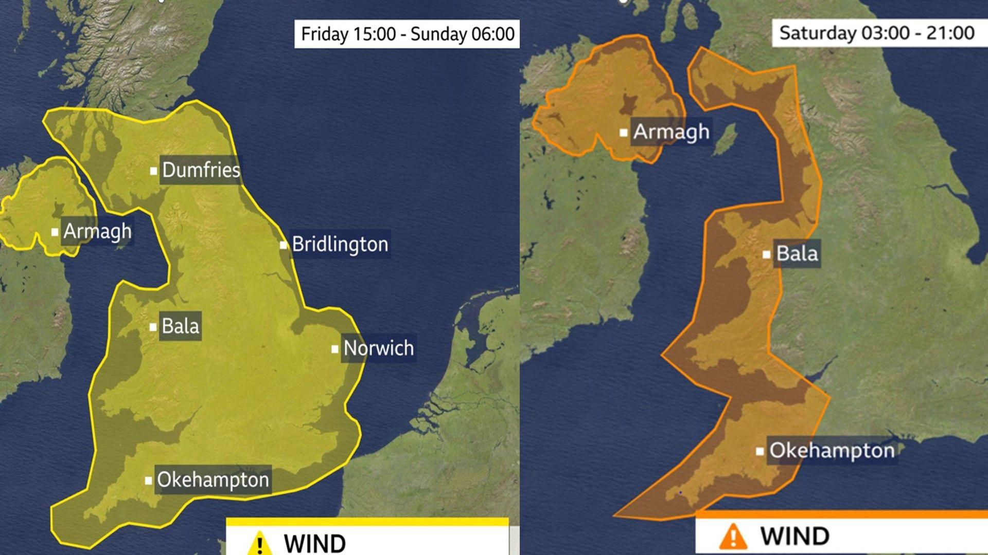
Met Office yellow wind warning to cover storm Darragh from Friday to Sunday, with a smaller AMBER wind warning valid through Saturday.
Storm Darragh was named on Thursday by the Met Office. Weather warnings are in force from Friday afternoon until Sunday morning to cover the passage of the storm across our shores.
Rain warnings cover southern Scotland, Northern Ireland, Wales and the West Midlands.
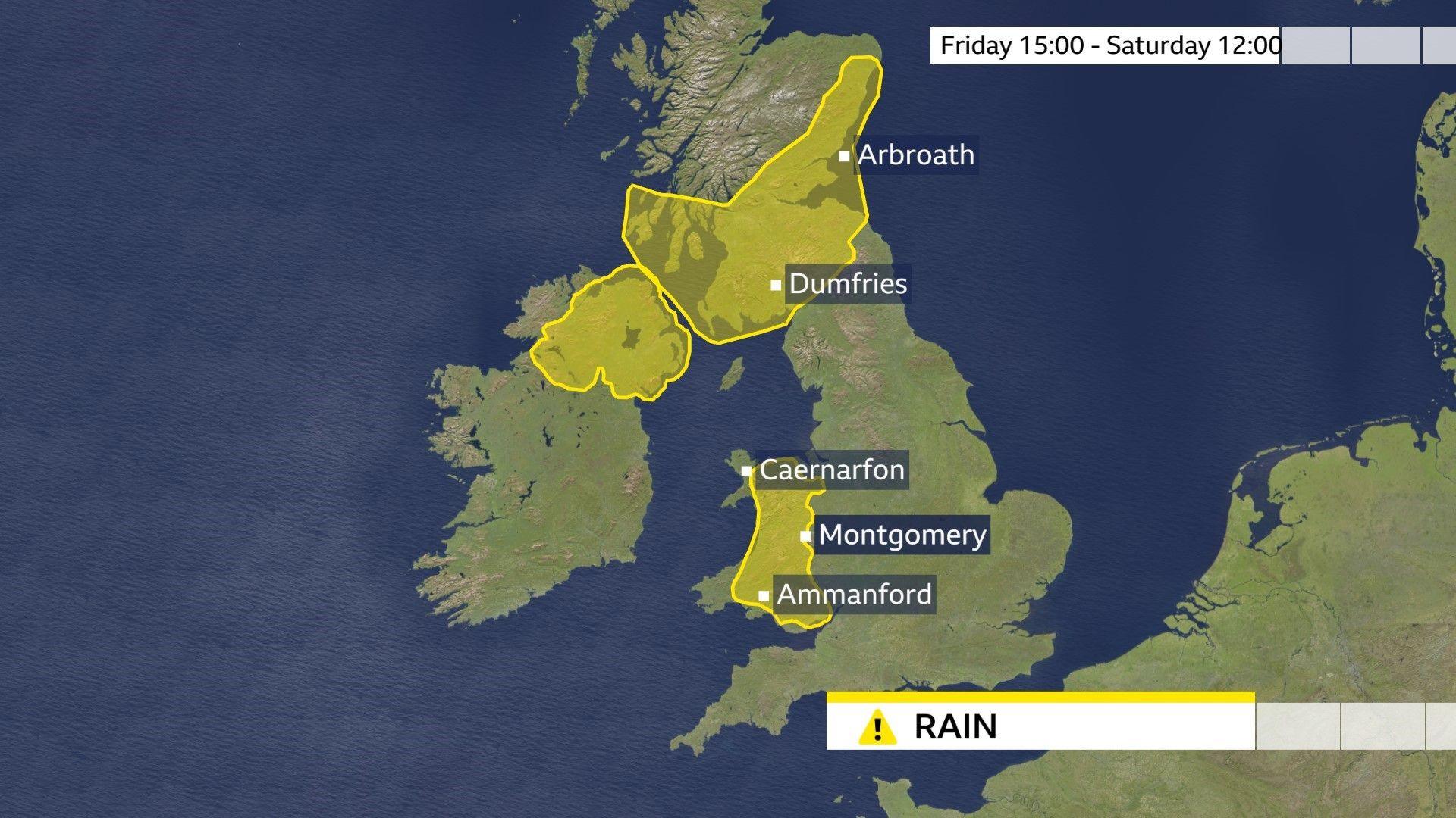
UK map showing areas covered by a rain warning for Storm Darragh
Gales are also expected with gusts of 60mph (97km/h) possible inland and up to 80mph (129km/h) on some coasts. Difficult driving conditions and delays to public transport are likely.
Some snow may also fall over hills in the north of the warning area.
A powerful jet stream
Three separate areas of low pressure have been propelled towards the UK by the jet stream - the flow of winds high in the atmosphere.
Speeds in its core are forecast to exceed 240mph (386km/h), partly driven by a plunge of cold air that has swept across Canada and the northern USA.
That powerful jet stream will help to deepen and energise the low pressure systems travelling across the Atlantic, enhancing the strong winds and heavy rain.
- Published1 day ago
