Red weather warning issued as Storm Darragh targets UK with 90mph winds and flooding rain

- Published
A red weather warning has been issued by the Met Office as Storm Darragh is set to bring damaging winds to many parts of the UK.
The Met Office issued the red warning, the most serious kind, for wind for the coasts of south and west Wales and south-west England from 3am to 11am on Saturday.
Gusts are likely to reach in excess of 90mph (145km/h) in places leading to danger to life, structural damage to buildings, transport disruption and power cuts.
An amber warning for wind has also been issued for Northern Ireland, south-west Scotland and western parts of England and Wales, valid from 1am to 9pm on Saturday.
Gusts for these areas could reach up to 80mph (129km/h) and would be strong enough to bring trees down with a risk of disruption to transport and power supplies.
Along with the winds, heavy rain could bring areas of flooding, and hill snow in Scotland may also be disruptive.
There is also an amber warning for rain for 3am to 6pm on Saturday for south and mid-Wales, with up to 3.5in (90mm) possible.
Chris Fawkes with the latest Storm Darragh forecast
There are also larger yellow Met Office warnings across all parts of England, Wales and Northern Ireland and southern and eastern Scotland valid through to 6am on Sunday, when Darragh will have cleared into the North Sea.
Gusts will widely be around 40-50mph (64-80km/h) across England and Wales which could lead to some transport disruption on Saturday.
As Darragh moves into the colder air in Scotland, a spell of snow will affect northern Scottish hills above 650ft (200m) elevation Friday night with 1-2in (2-5cm), hills above 1,300ft (400m) elevation will get 4-8in (10-20cm) with blizzard conditions and drifting snow.
This snow will affect higher parts of the A9 and A83 and may lead to disruption and perhaps closures.
The fourth named storm of the season, Darragh comes only weeks after Storms Bert and Conall caused disruption at the end of November.
The red warning is the first to be issued since Storm Isha brought damaging winds to north England and Scotland in January this year.
Flooding risk
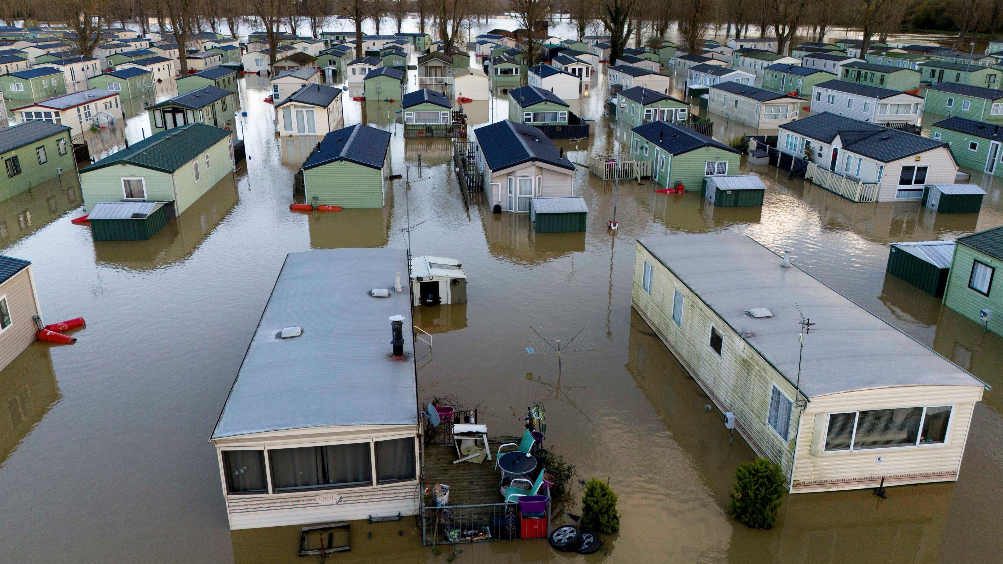
Those affected by severe flooding after Storm Bert may be concerned by another storm and heavy rain.
While the rainfall totals associated with Storm Darragh will not be as high, around 2-3in (50-60mm) of rain is expected in parts of Wales and central and southern Scotland by Saturday lunchtime with up to 3.5in (90mm) possible in Wales by the end of the day.
Otherwise, more widely across the UK, rainfall totals will be up to an inch (25mm).
There will also be some heavy snow for a time over the higher ground of Scotland as Storm Darragh moves through.
- Published22 January
- Published1 August 2025


