Sunderland - Weather warnings issued

14-day forecast

Forecast - Sunderland

Sunny and a gentle breezeGusty winds and sleetLight cloud and a moderate breezeLight rain and a gentle breezeLight rain and a gentle breezeLight rain and a gentle breezeDrizzle and a gentle breezeLight rain and a gentle breezeLight rain and a moderate breezeDrizzle and a moderate breezeDrizzle and a gentle breezeLight rain and a gentle breezeLight rain and a gentle breezeLight rain and a gentle breeze

Environmental Summary

Sunrise Sunset

Sunrise08:26Sunset16:01
UVLowPollutionLow

Sunrise Sunset

Sunrise08:25Sunset16:03
UVLowPollutionLow

Sunrise Sunset

Sunrise08:24Sunset16:04
UVLowPollutionLow

Sunrise Sunset

Sunrise08:23Sunset16:06
UVLowPollutionLow

Sunrise Sunset

Sunrise08:22Sunset16:08
UVLowPollutionLow

Sunrise Sunset

Sunrise08:21Sunset16:09
UVLow

Sunrise Sunset

Sunrise08:20Sunset16:11
UVLow

Sunrise Sunset

Sunrise08:19Sunset16:13
UVLow

Sunrise Sunset

Sunrise08:18Sunset16:15
UVLow

Sunrise Sunset

Sunrise08:17Sunset16:17
UVLow

Sunrise Sunset

Sunrise08:16Sunset16:18
UVLow

Sunrise Sunset

Sunrise08:14Sunset16:20
UVLow

Sunrise Sunset

Sunrise08:13Sunset16:22
UVLow

Sunrise Sunset

Sunrise08:11Sunset16:24
UVLow

Hour by hour forecast

Last updated
Last updated

Environmental Summary

Sunrise Sunset

Sunrise08:26Sunset16:01
UVLowPollutionLow

Sunrise Sunset

Sunrise08:25Sunset16:03
UVLowPollutionLow

Sunrise Sunset

Sunrise08:24Sunset16:04
UVLowPollutionLow

Sunrise Sunset

Sunrise08:23Sunset16:06
UVLowPollutionLow

Sunrise Sunset

Sunrise08:22Sunset16:08
UVLowPollutionLow

Sunrise Sunset

Sunrise08:21Sunset16:09
UVLow

Sunrise Sunset

Sunrise08:20Sunset16:11
UVLow

Sunrise Sunset

Sunrise08:19Sunset16:13
UVLow

Sunrise Sunset

Sunrise08:18Sunset16:15
UVLow

Sunrise Sunset

Sunrise08:17Sunset16:17
UVLow

Sunrise Sunset

Sunrise08:16Sunset16:18
UVLow

Sunrise Sunset

Sunrise08:14Sunset16:20
UVLow

Sunrise Sunset

Sunrise08:13Sunset16:22
UVLow

Sunrise Sunset

Sunrise08:11Sunset16:24
UVLow
Back to top

Forecast for North East England and Cumbria

Latest forecast for North East England and Cumbria from BBC Look North

  • Last updated
    18 hours ago
  • Updated Monday to Friday only

Latest forecast for Newcastle

Last updated 16 minutes ago

Today

Turning dry and bright in the afternoon as the cloud and showers clear to the east.

Tonight

Tonight will start dry and clear for all. It will cloud over from the west and, by dawn, spells of rain will push into western areas. This will fall as snow and sleet. Turning breezy.

Sunday

A wet and windy start tomorrow, with spells of rain, sleet and snow moving in from the west. This will clear in the afternoon, but it will remain largely cloudy. Further spells of rain in the evening.

Outlook for Monday to Wednesday

Monday will be cloudy and mild with some scattered, blustery showers moving in from the west. A few brighter spells in the afternoon. Tuesday will see some early brightness, but it will then turn cloudy and wet in the afternoon with heavy and persistent rain moving in from the south-west. Dry and bright on Wednesday with some wintry sunshine, but turning wet overnight.

Observations for Newcastle

Observed at, 13:00 GMT Saturday 10 January
weather type not available
Temperature 4° CelsiusTemperature 39° Fahrenheit
Average wind speed 0 Miles per hour, NortherlyAverage wind speed 0 Kilometres per hour, Northerly
  • Humidity: 70%,
  • Visibility, not available,
  • Pressure: 1016 millibars, Steady,
Observation station: Newcastle (Latitude 54.9667, Longitude -1.6167)

Met Office warnings issued for Sunderland

  • Yellow warning of snow and ice

    Yellow - Possible

    Active Warning
    Started:12:00 GMT Friday 9 January
    Ends:15:00 GMT Saturday 10 January

    Wintry showers will bring some snow accumulations in places, with ice a more widespread risk, leading to some disruption - Some roads and railways affected with longer journey times by road, bus and train services - Some injuries from slips and falls on icy surfaces - Icy patches on some untreated roads, pavements and cycle paths

    Issued:09:43 GMT Friday 9 January
  • Yellow warning of snow and ice

    Yellow - Possible

    Starts:02:00 GMT Sunday 11 January
    Ends:15:00 GMT Sunday 11 January

    A spell of snow and ice will lead to some disruption on Sunday. - Possible travel delays on roads stranding some vehicles and passengers - Possible delays or cancellations to rail and air travel - Bus and train services may be delayed or cancelled, with some road closures and longer journey times possible - Power cuts may occur, with the potential to affect other services, such as mobile phone coverage - Untreated pavements and cycle paths likely to be impassable, especially in the east of the warning area - A chance of injuries from slips and falls on icy surfaces

    Issued:08:30 GMT Friday 9 January

How UK weather warnings work

Warnings are issued for rain, thunderstorms, wind, snow, lightning, ice, extreme heat and fog. These warnings are given a colour depending on a combination of both the impact of the weather may have and the likelihood of those impacts occurring.

Weather warnings key

Yellow - Possible

Potential of bad weather situations causing disruption to travel and activities

Amber - Likely

Increased potential of bad weather situations causing disruption to travel, risk to life and property

Red - Expected

Dangerous weather is expected, take action to keep yourself and others safe

Our favourite Weather Watchers photos nearby

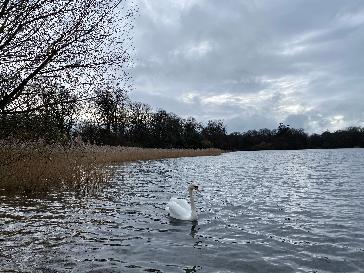
Report for Middleton in Teesdale, County Durham

34°
Sleet

Reported by MackemIan

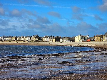
Report for Seaham, County Durham

37°
Sunny intervals

Reported by Dan Seaham Harbour Lad

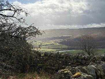
Report for Sunderland, Sunderland

32°
Sunny

Reported by Figaro

Report for Blyth, Northumberland

32°
Heavy cloud

Reported by Figaro

Settings

BBC Weather in association with MeteoGroup, external

All times are Greenwich Mean Time (Europe/London, GMT) unless otherwise stated.