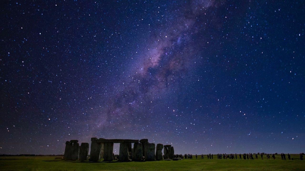
UK White Christmas unlikely despite a chilly festive forecast

- Published
Cold weather is going to arrive across the UK over the next few days - just in time for the festive season.
But if you are dreaming of a white Christmas you may end up disappointed as the chances of snow on the big day are looking very slim.
High pressure will build meaning a lot of dry weather with no widespread rain or snow.
It is not impossible that a few flakes of snow could fall over high ground in the far south of the UK, which would make it a white Christmas in technical terms - but even this seems quite unlikely.
Cold air arrives from the east
December so far has been mild and wet in most places, and this week started with more cloud and rain - and temperatures above the seasonal norm.
However, this is now beginning to change as high pressure takes hold across Scandinavia.
This will drift across the northern half of the UK over the next couple of days and along with low pressure to the south, will bring a feed of chilly easterly winds.

Easterly winds will be strongest in southern parts of the UK on Christmas Day
On Tuesday, and for a time on Christmas Eve, there will be a lot of cloud which could produce some drizzle.
This will begin to break, initially in western and southern areas, as drier air begins to arrive.
These cloud breaks will allow for a frost in some areas on Christmas morning - perhaps the closest we will get to a winter wonderland.
It also means many areas should see some festive sunshine, especially in England, Wales and Northern Ireland, with a little more cloud lingering in parts of Scotland.
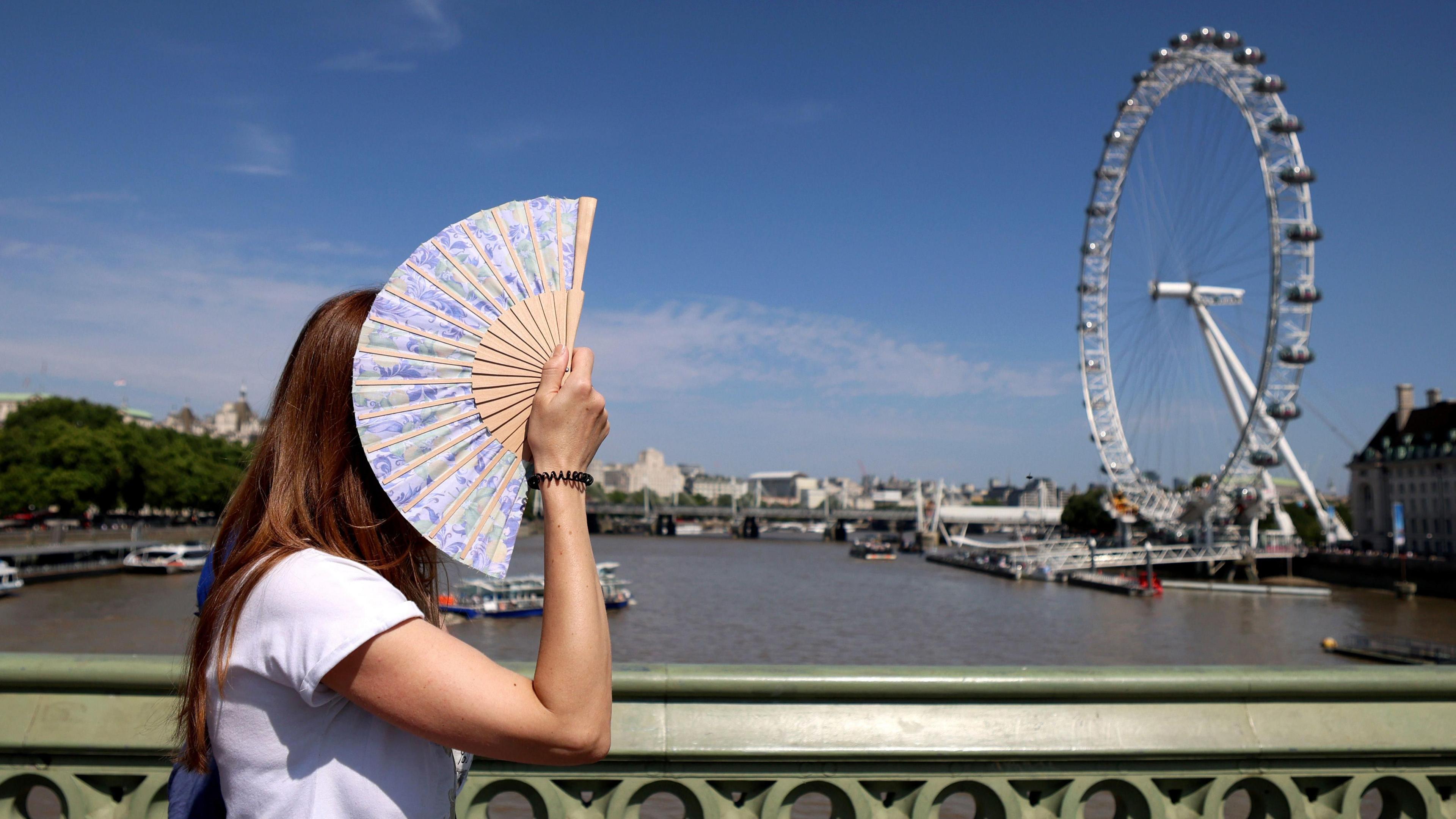
Daytime highs on Christmas Day will reach 4-7C (39-45F). This is nothing exceptional for the time of year and not far off the seasonal average, but it will mark a significant change after a mild month so far.
Strong winds in the south of the UK will exacerbate the cold feel.
Those winds will ease on Boxing Day with most areas seeing dry weather and sunny spells, although it will still feel chilly.
Weather for the week ahead
- Published15 hours ago
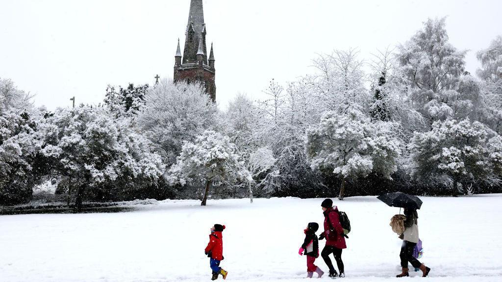
Will it be a White Christmas?
Join BBC Weather’s Carol Kirkwood, Matt Taylor and Barra Best, along with famous faces Jeremy Vine and Lucy Porter, to explore where our fascination with a white Christmas comes from.
Could it be a white Christmas?
Forecasting snow in the UK is notoriously difficult.
It requires two key elements - cold air and precipitation - and the latter ingredient will be lacking as high pressure keeps the weather dry in most places.
This will be welcomed in areas which have recently seen heavy rain such as Cumbria and south Wales.
A few computer weather models have hinted at a little wet weather pushing across the Channel Islands and fringing into the far south of England.
If this was to happen it could mean a little sleet or snow mixing in over the very highest ground, but the chances of this are extremely low.
Most of us will see a chilly, bright Christmas but not a white Christmas, and you can check your local festive forecast on the BBC Weather website and app.
What is a white Christmas?
The definition of a white Christmas is just a single snowflake recorded falling at any point during the 24 hours of 25 December at any of the Met Office's network of around 300 weather observing stations.
Snow already lying on the ground on Christmas Day does not count.
An "official white Christmas" has happened more often than not since 1960, but new analysis of Met Office data by the BBC shows that snow falling on Christmas Day is rare for most of us - and getting rarer.
The last time the UK saw a widespread white Christmas was back in 2010, when snow fell at 19% of weather stations and, very unusually, 83% of stations reported snow lying on the ground.
- Published15 December 2025
- Published17 December 2025
- Published21 December 2025