Weather Watchers at 10: The hunt for the next generation of cloud gazers
- Published
I've been a weather obsessive since the age of five and, having started my career in weather as a Met Office observer, any excuse to look up at the sky and clouds is grabbed with both...eyes.
The launch of BBC Weather Watchers ten years ago brought together a whole new army of cloud enthusiasts with the main aim of helping the BBC tell the weather story across the UK a bit better.
While it has been an undeniable success we now want to encourage the next generation of Weather Watchers to get out there, capture their images of the sky, and learn more about our incredible climate at the same time.
And the only equipment you need is the camera on your phone!
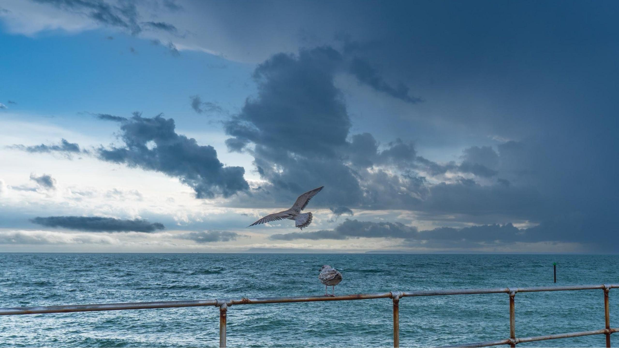
Watching drama unfold in the skies. BBC Weather Watchers CoastalJJ capture a cumulonimbus cloud rolling into view.
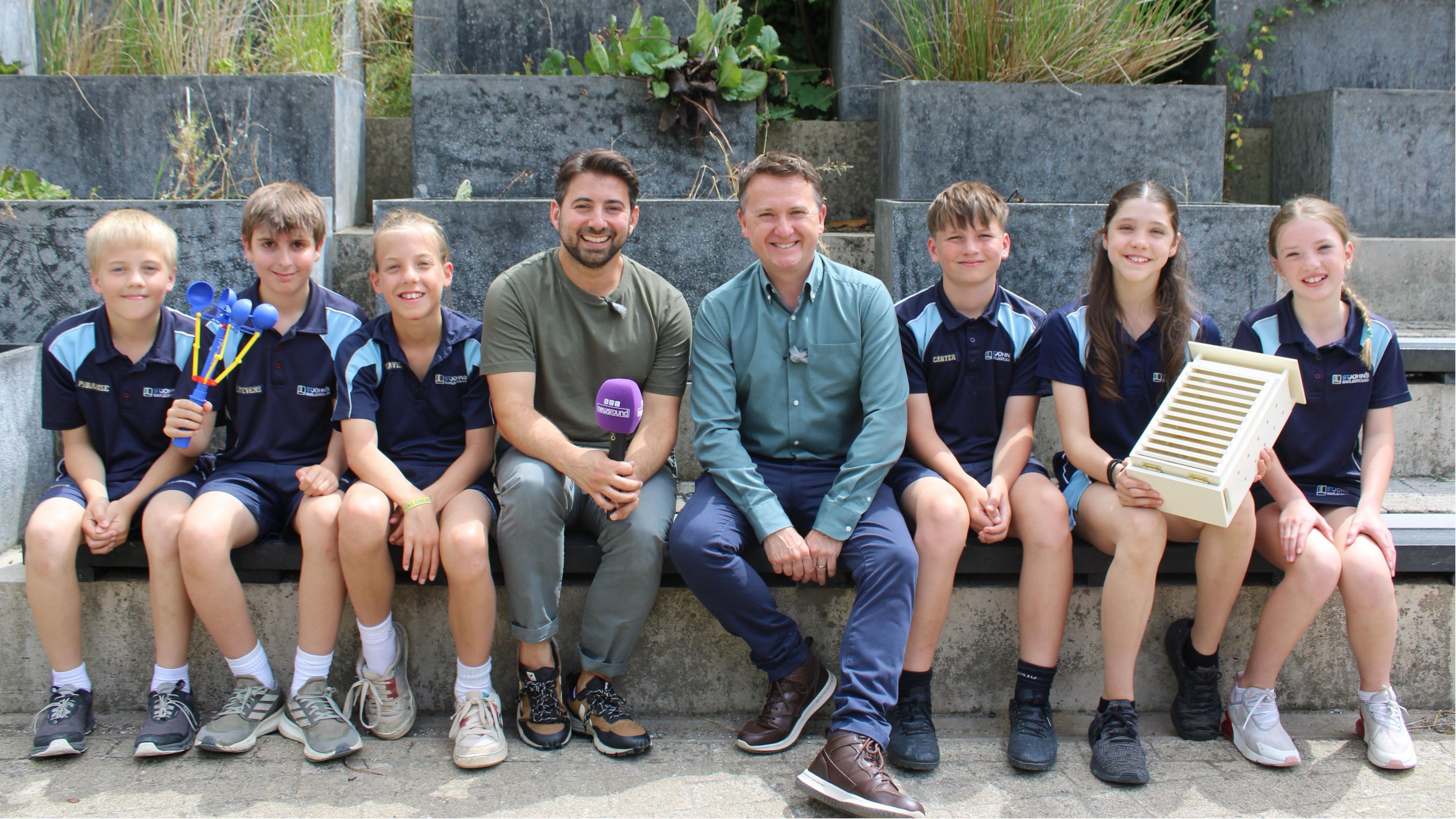
At the end of the last academic year I joined Ricky Boleto and BBC Newsround to visit pupils at St John's Marlborough in Wiltshire, who had recently signed up to BBC Weather Watchers, to help them get more out of observing and recording the weather.
The school is fortunate enough to have its own electronic weather station on the roof of the building, feeding information on temperature, pressure and wind directly into the classroom.
However, it is possible to observe and forecast the weather with little or even no expense.
How are weather forecasts made?
- Published17 July 2025
My passion for weather was quickly spotted by my parents. Wrapped under the tree one Christmas was a simple weather station, consisting of a rain gauge, thermometer, weather diary to jot down my observations, and a basic guide to weather and clouds.
It was all I needed to learn some of the basics of weather and climate.
While there is a vast array of basic weather observing equipment available today, including anemometers and even Stevenson screens, there a few simple tricks to help you forecast the weather that are completely free.
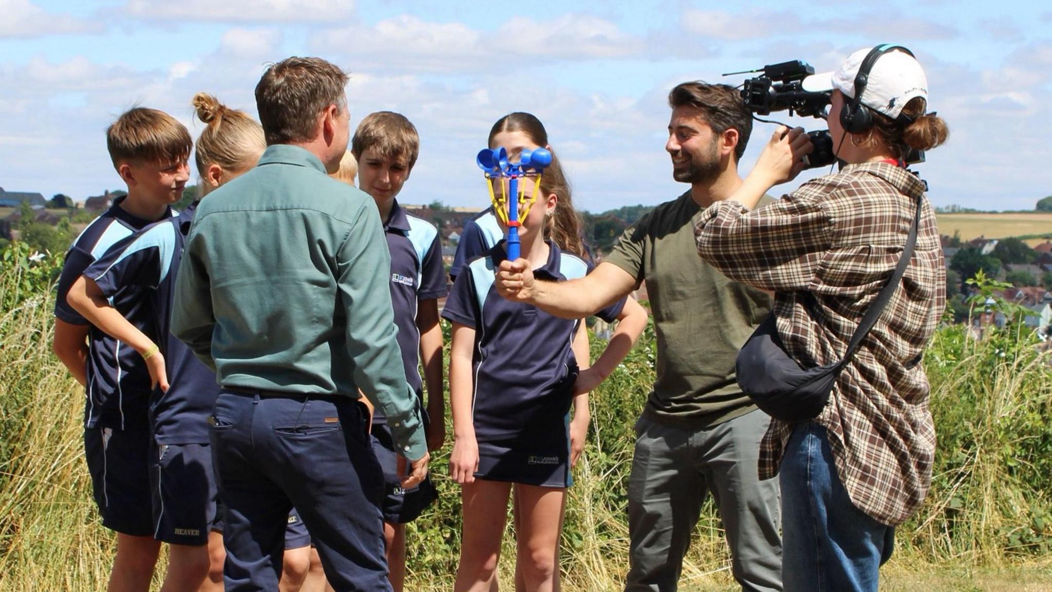
Weather equipment doesn't need to be expensive. A hand-held anemometer is a quick way to gauge wind strength.
Counting thunder
The distant rumble of thunder can either spark excitement or fear but there is a quick and easy way to work out whether a storm is approaching or moving steadily away.
All you need to do is count the time between seeing a flash of lightning and the moment you hear the crack of thunder.
If the gap between the two is shortening then the thunderstorm is getting closer. Conversely, if the gap is getting bigger then the storm is likely moving away.
The reason this works is because the speed at which sound travels is much slower than that of light. And if you want to work out how far away the lightning is, every three or four seconds counted is roughly equal to a kilometre in distance.
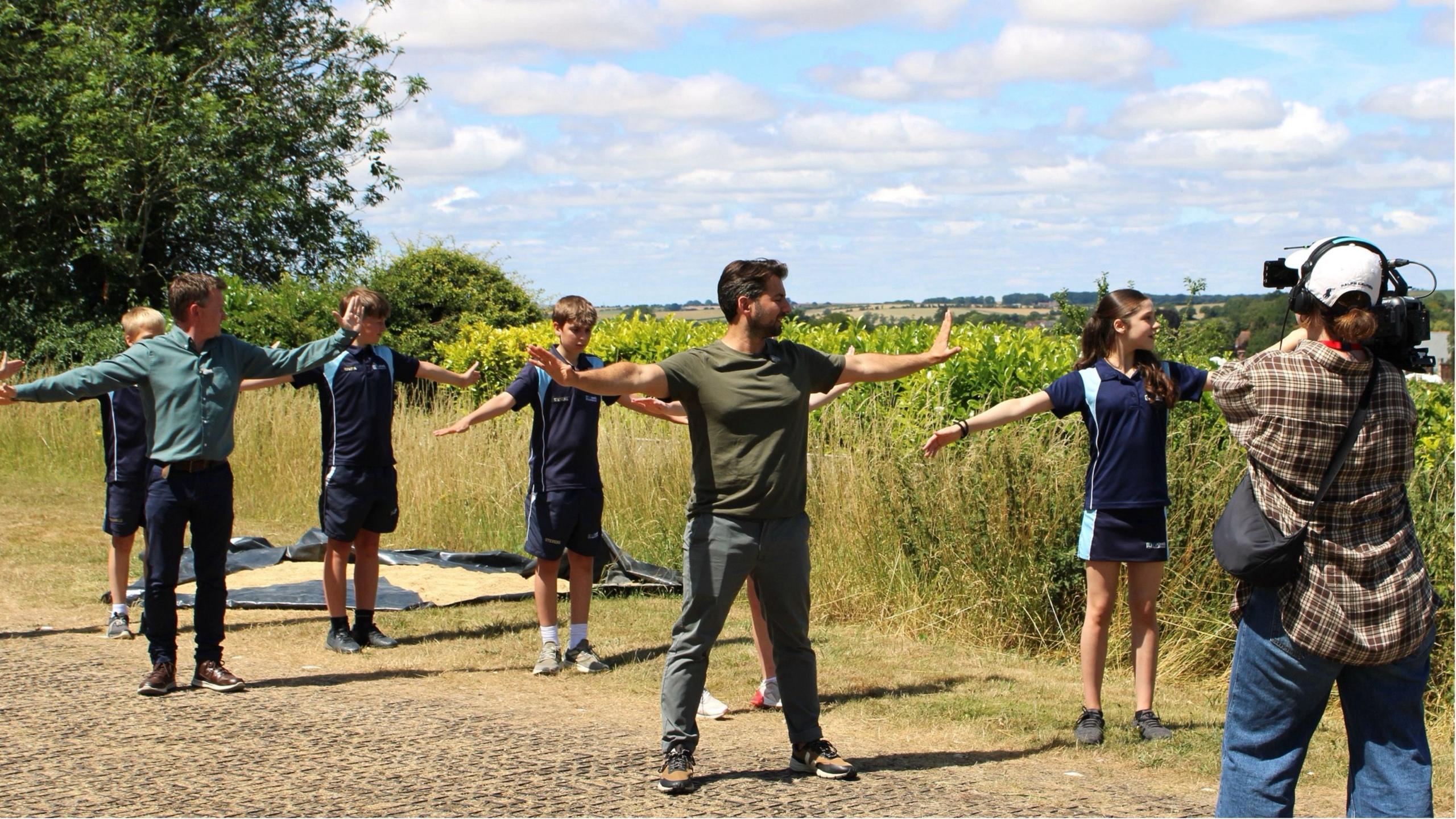
You don't need expensive instruments to start forecasting. Matt teaches pupils how to work out where high pressure and low pressure are.
Highs and lows of weather
From geography lessons you are probably aware that areas of low pressure are more likely to bring spells of rain and wind, while drier and often sunnier weather comes with areas of high pressure.
You can easily work out where each is, relative to where you are, by just getting outside and turning your back to the wind. If you stick your arms out wide, your left arm will be pointing in the direction of low pressure and right is towards high pressure.
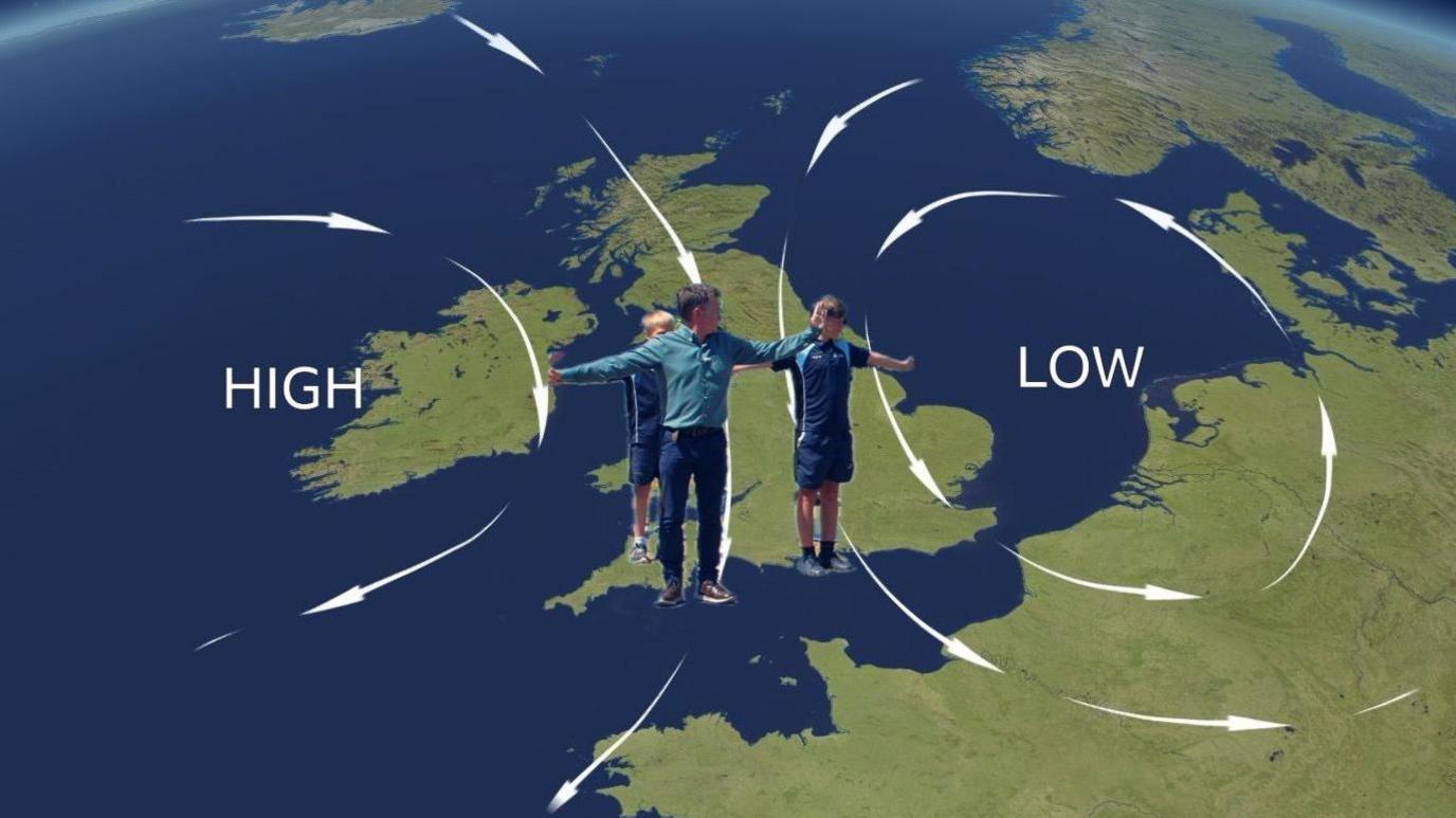
Standing with you back to the wind, low pressure is to your left and high pressure to your right.
This experiment actually has a name - Buys Ballot's Law. It's based on the way winds flow around areas of low and high pressure.
If you then watch how the sky is changing you can make a rough forecast as to whether low pressure, and possible rain, are heading in your direction or if something drier is on the way.
The position of high and low areas of pressure is reversed in the southern hemisphere.
Cloud gazing
And so to my favourite free activity - just sitting back and watching the sky. Ask any member of my family and they will tell you that half of my holiday photos are of clouds.
You can learn so much about what's going on in our atmosphere by watching how the clouds are moving or changing over time. The size, shape and texture of the clouds reveals a lot.
For example, are fair weather cumulus clouds rapidly building into cumulonimbus, signalling developing storms? Can you see multiple layers of clouds rolling in that could be the forerunner to an approaching weather front?
Just by watching and taking an interest in the weather you will get more of an appreciation of what is and isn't normal. This is crucial in helping to build a wider understanding of our climate and how it is changing.
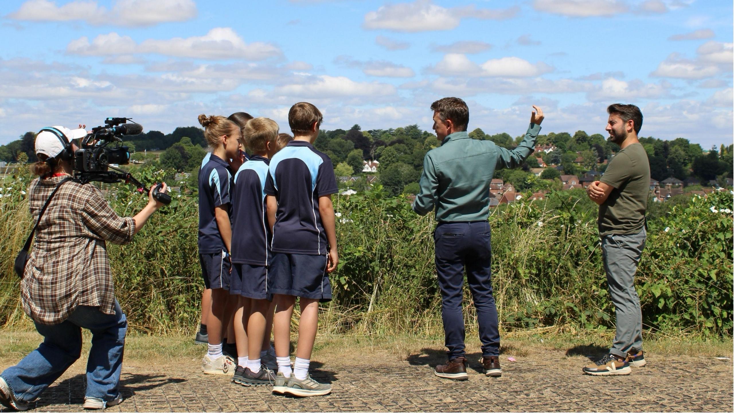
A lot can be learned from simply watching the clouds.
Getting the most out of BBC Weather Watchers
To become a BBC Weather Watcher you need to be 16 years old - but an adult or school teacher can set up an account and post photos on your behalf - even for a whole class.
By capturing the sky and posting your photos on the BBC Weather Watchersnot only could they appear on our tv forecasts and social media channels, but you are helping us to illustrate the weather story across the country.
It's also a way for you to see what's happening in the sky in other parts of the UK, or the impact during times of extreme weather.
Once you know which direction the weather is coming from, or where various weather fronts are located, why not log on to the website and take a look at photos taken by other Weather Watchers. There are also guides to help you understand the weather, like clouds.
Who knows, over time you may become a complete weather fanatic like me.
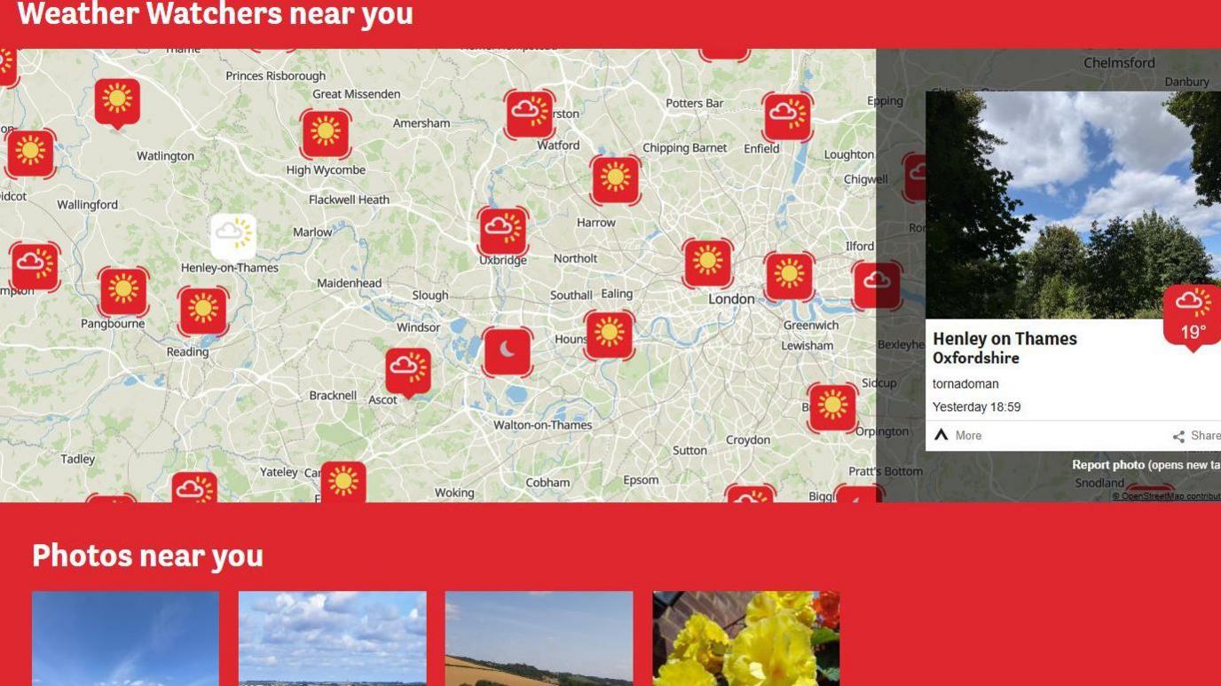
See how your Weather Watcher photos look among others in your local area and beyond.

Click here to play 'Cooler than me?'