Heavy rain and strong winds likely late week as cold snap ends

- Published
After the cold and stormy conditions of last week, there's a different feel to the weather this week as a milder spell has taken hold.
The jet stream - which is responsible for driving and steering weather systems - has shifted position, allowing areas of low pressure to move in from the south-west and usher in milder air.
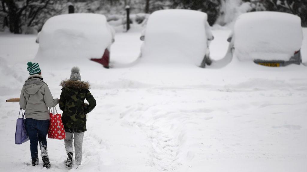
A return to unsettled conditions from the Atlantic has brought an end to the recent UK cold snap, but also led to some significant flooding problems in parts of Scotland and England due to rain and melting snow.
Later this week forecasters are watching another potential spell of disruptive weather that may bring damaging winds and flooding rainfall to some places.

The jet stream has shifted position to push much milder air across the UK
Dramatic temperature change
On Monday temperatures reached between 6C in Highland Scotland to 13C in Cornwall, making it the warmest day since 22 December 2025. Tuesday is expected to be another mild day for England and Wales, whilst temperatures take a slight dip for Scotland and Northern Ireland.
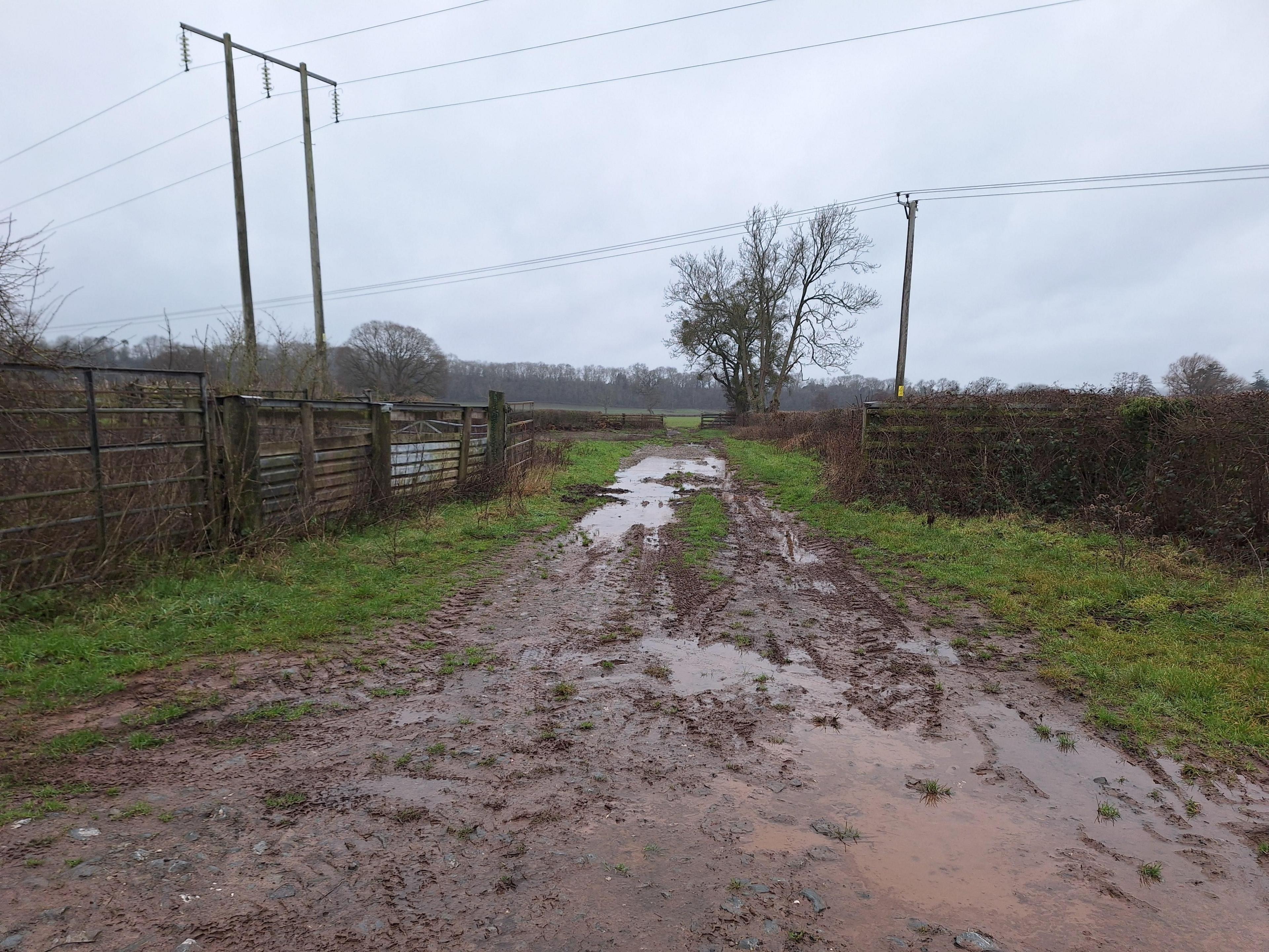
With significant snow-melt in parts of Scotland and central England, rising temperatures and heavy rainfall led dozens of flood warnings being issued. Although there is a little more rain and mountain snow on the way on Tuesday, the flooding situation is expected to gradually improve over the next few days.
Difficult driving conditions remain in many places due to a lot of lying surface water on the roads.
Is there another 'named storm' on the way?

Waves crashed against the coast in Porthleven, Cornwall as storm Goretti brought widespread disruption, power cuts and school closures
As the clear-up from Storm Goretti continues, this week's weather brings a changeable theme with more wind and rain at times.
After a touch of frost early on Wednesday, bright and chilly conditions will be replaced by rain and strengthening winds moving in from the west later on.
It's on Thursday that another spell of potentially disruptive weather is possible, as heavy rain and strong winds are expected to push north across England and east Wales.
There is a small chance this weather system may be given a name, either by the UK Met Office or by Meteo-France - the French weather service - but at this stage, impacts from the system are not looking particularly severe. There is a chance of some flooding in southern England as heavy rain will fall on saturated ground. A Met Office yellow warning for rain has been issued for parts of southern England on Thursday.

20-50mm of rain is possible in southern England on Thursday which may be to localised flooding
- Published14 hours ago

- Published5 January 2024


- Published6 January

- Published14 November 2025