Temperature exceeds 26C on the warmest day of the year so far

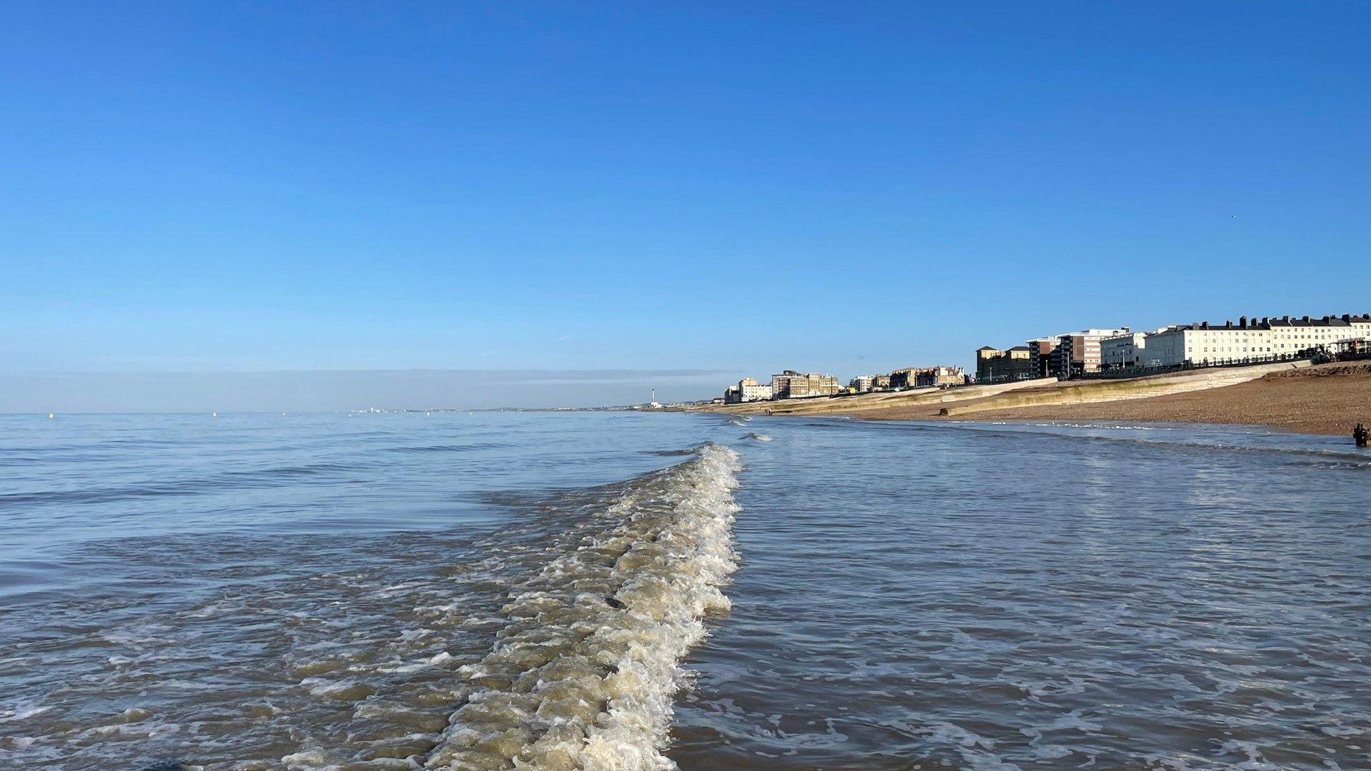
People out in the warm weather on Bournemouth beach during Wednesday afternoon
- Published
Temperatures on Wednesday afternoon soared to 26.6C (79.8F) making it the warmest day of the year so far.
Recorded at Kew Gardens, London it exceeds the 24.8C (76.7F) recorded on Tuesday at Mona on Anglesey, Wales which was - briefly - the warmest day of the year so far.
According to the the Met Office it has been the second warmest day on record during the first half of any April.
Across England and Wales more widely temperatures have been in the high teens and low twenties, accompanied by sunny skies and very high pollen levels.
However, make the most of this unusually warm weather because on Thursday all will change and things will feel cooler.
Uncommonly warm for early April
Before today, all four nations of the UK had recorded their highest temperature of the year so far on Tuesday after very warm air was dragged in from continental Europe.
The addition of the foehn effect - a warming wind on the leeside of a mountain - meant that north-west Wales saw the highest temperatures.
Wales - 24.8C (76.7F) - Mona, Isle of Anglesey
England - 22.5C (72.5F) - Merryfield, Somerset
Scotland - 22.5C (72.5F) - Kinloss, Moray
Northern Ireland - 19.0C (66.2F) - Armagh, County Armagh
The focus of the highest temperatures on Wednesday have been the Midlands, East Anglia and south-east England.
This is around 10C above average for early April.
The last time before this week that 25C or more was recorded in the UK was 19 September 2025, when temperatures peaked at 27.8C at St James's Park, London.
Around this time in April in 2017 and 2020 25C (77F) was recorded, but last year that temperature was not reached until the last day of the month.
The highest temperature ever recorded in the UK in April was 29.4C (84.9F) measured in London in 1949.
There is some way to go to beat that but spring is the fastest warming season due to climate change.
Scotland and Northern Ireland will not be as warm. The cloud will break to give some sunshine and temperatures could still reach as high as 18C (64F) in eastern Scotland.

Warm is air is being drawn up ahead of a weather front that will bring rain on Thursday
Cooler again later this week
The weather pattern will change significantly on Thursday and temperatures as a result will be lower.
A band of rain will push south-eastwards across the whole country to be followed by sunshine and showers and a north-westerly wind.
This change in wind direction will bring in much cooler air and temperatures will therefore noticeably drop to around 10 to 14C (50-57F) across most areas.
However, ahead of the rain, temperatures in East Anglia and south-east England could still reach 20C (68F).
High pressure pushes back in on Friday to bring dry weather and sunshine back to England and Wales and temperatures of 12-15C (54-59F). Cloud, rain and much stronger winds will return to western Scotland and Northern Ireland and herald a change to a more changeable weather pattern.
You can keep up to date with the longer range forecast here.
Very high pollen levels

Tree pollen levels will remain very high in some places
With the increased sunshine and higher temperatures, pollen levels have risen too.
In England and Wales the pollen level will be very high again on Wednesday and high still over parts of Scotland and Northern Ireland.
At this time of year tree pollen, and particularly birch, is the main reason why people may be suffering from hay fever.
Tree pollen affects 25-35% of hay fever sufferers and typically runs from March to early June for most trees.
In response to the change in the weather, pollen levels will be lower in Scotland, Northern Ireland on Thursday but remain high or very high in England and Wales.
- Published22 March 2024

- Published1 day ago

- Published2 days ago
- Published23 hours ago