Temperatures drop to unseasonably low levels as cold snap hits UK

Frosty start in Witherley, Warwickshire
- Published
With last week's spring warmth now a distant memory, Arctic air will continue to push across the UK resulting in unseasonably cold weather.
Temperatures are expected to be below the mid-May average for most, especially by midweek.
It will also turn quite showery with the potential for some heavy downpours, even with a little snow over the Scottish hills.
However, with some strong spring sunshine also in the forecast, and with lighter winds returning later in the week, it will still feel pleasantly warm at times.

Monday night minimum temperatures
Tuesday started on a frosty note across much of England and Wales.
A weak weather front across Scotland and Northern Ireland has kept the frost at bay here bringing instead a little rain. However as the front progresses south to England and Wales, no more than a splash is expected.
Scattered showers will follow this weather front, mainly in Scotland, Northern Ireland and later northern England but there will also be a lot of dry and sunny weather between.
There will be less bite to the wind on Tuesday, which will be very noticeable for the east coast. Daytime temperatures will return briefly to average, which ranges from about 12-17C north to south.
From Wednesday, however, temperatures are set to drop once again.
With the air coming from northern Scandinavia and the Arctic circle, temperatures will be around 3-7C below average.
Low pressure will become more dominant with some strengthening winds and showers.
With the colder air in place those showers could be wintry with snow over the high ground of Scotland, which is not unusual at this time of year.
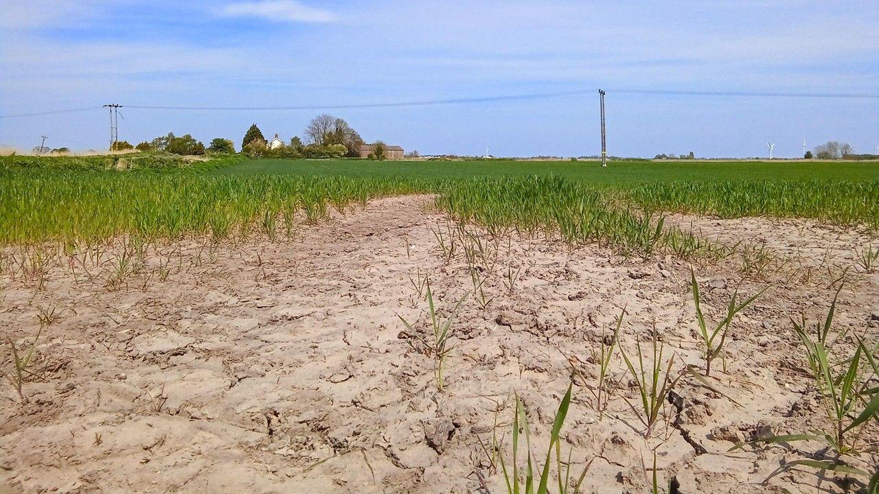
Gardeners beware that further ground frost is still likely too.
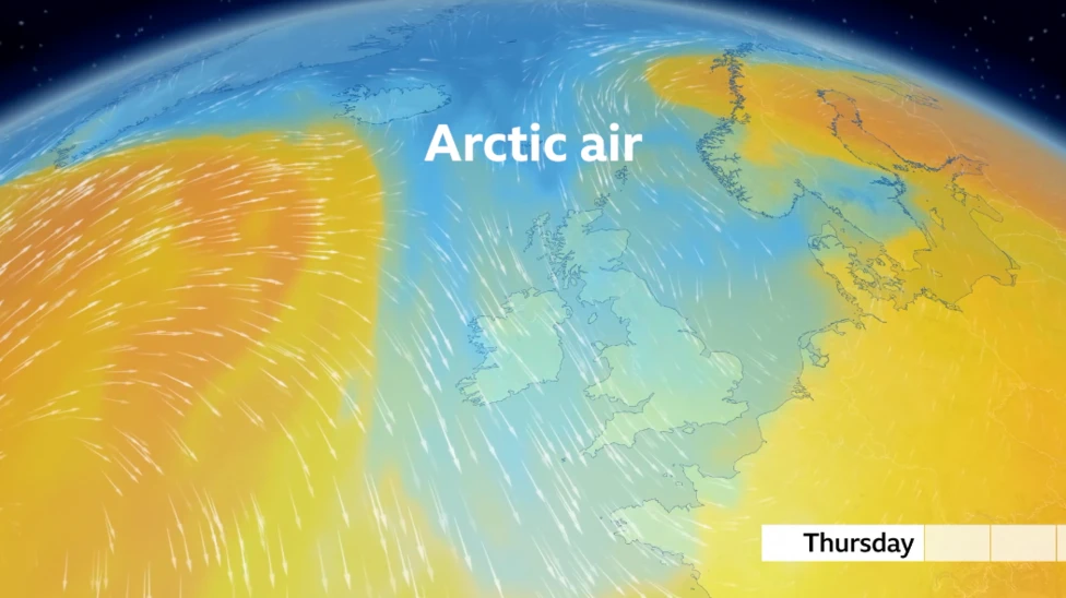
Northerly winds will drag colder Arctic air from northern Scandanavia from midweek
Spring temperature swings
Spring is the transition season from winter to summer and so big swings in temperature and weather is expected.
The wind direction we experience in the UK can make a big difference.
Any southerly will drag in the increasingly warm air from the Mediterranean, potentially boosting temperatures into the high twenties.
Just as we saw in early April when we recorded the highest temperature of the year so far with 26.6C in Kew Gardens, London.
Any northerly wind will drag in the still cold Arctic air which limits temperatures.
Last week the overnight temperature in Tomintoul, Moray, fell to -6.8C. This was the lowest May temperature since 1997.
Temperatures will start rise back to average later this week but there may also be some rain in the forecast. You can stay up to date with our latest monthly outlook here.
- Published1 May
- Published8 April