De-Graft is on the River Severn to explore the course of a river, from its source to the river mouth.
De-Graft: There are hundreds of rivers and streams all across England, Scotland, Northern Ireland and Wales. This is the River Severn, the longest river in the UK.
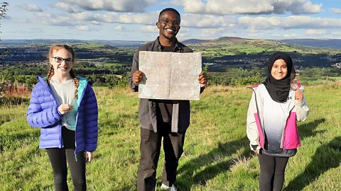
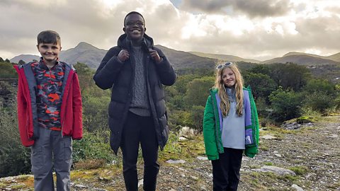
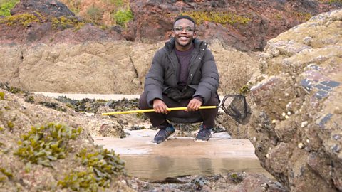
I’m in a place called Ironbridge where the River Severn runs through. And later locals Riley and Maisie will be joining me on the riverbank to explore. But first, let’s zoom out.
I’m on the River Severn at this point here on the map… But the river actually starts up in the Cambrian Mountains of mid-Wales here, and runs all the way to into the Bristol Channel down here. The second longest river in the UK after the River Severn is the Thames, which stretches right across here and all the way through London.
When you look at rivers like the River Severn or the Thames, you can see how there are major towns and cities along the route of the river. This is because historically people built settlements near rivers for easy access to fresh water for homes and for farming. And also because rivers have acted as easy transport routes for boats to move people and goods from place to place. But how do rivers like this begin?
Every river has a starting point called a ‘source’, most are on mountains because that is where rain often falls. Water collects and starts to flow down as a stream. Several of these small streams join together to form a river. At this stage the water is fast flowing and can create rapids, waterfalls, gorges and valleys.
The middle part of a river is on lower ground. Some streams and smaller rivers feed into it and they are called tributaries. The river carves its own path out to the sea and creates bends called ‘meanders’. Sometimes a river becomes so bendy it creates an easier route straight across and cuts off the meander. This forms what is called an ox-bow lake.
As all rivers continue they become deeper and wider. The majority of rivers then eventually join the sea at what is called it’s mouth, often forming an estuary.
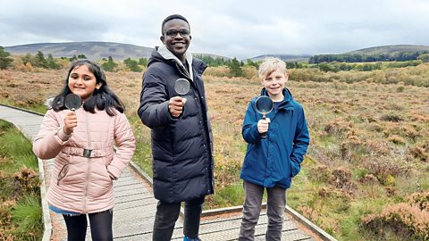
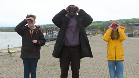
Ryley and Maisie are joining me on the bank, or the side, of the river. They’re studying the river by taking photos of all the different things they can spot.
Can you see that tree that's got like that?
Children: Looks a bit like an arch.
De-Graft: Yeah, like an arch! What has been the most interesting thing you two have taken a picture of today?
Child: Really small ripples in the river and because of the sun, it's been reflecting onto it and making it all gold.
Child: I saw some little, tiny fish. They were swimming really fast.
De-Graft: Well historically, people used rivers to transport goods and bring trade to different areas. So, what kind of things do you think were transported on this river in the past?
Child: Vegetables and firewood.
Child: I think coal and flour to make bread and dough.
De-Graft: You’re absolutely right. Hundreds of years ago, the River Severn was actually the second busiest river in the whole of Europe.
Child: Woah, that’s cool!
De-Graft: That is cool. When we talk about rivers, one word that comes up is ‘flooding’. Do either of you two know what it means?
Child: It's when water overflows and it goes onto land.
De-Graft: Yeah, when a river gets too full, usually because of heavy rainfall, it can overflow or it can flood. Now, the land around a river that floods is called a floodplain.
OK, time to compare… The River Severn is over 354 kilometres long making it the longest river in the UK, but the longest river in the world is the Nile in north-eastern Africa, at a whopping 6650 kilometres! The Amazon river is the second longest in the world but the largest by the amount of water it carries.
As well as the Amazon and the Nile, there are many rivers around the world measuring over 1000 kilometres long. Why not try and find out about one yourself – what does it look like? Where does it start? Where does it end? Zoom in and have a look for yourself.
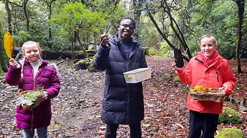
Right guys, time for one last photo!
Video summary
Download/print a transcript of the video.
The hundreds of rivers across the UK share common features, from the river source to meanders to the river mouth. De-Graft is in Ironbridge, kayaking down the River Severn - the longest river in the UK.
De-Graft explains how often there are major towns and cities along the course of a river because historically people have built settlements near access to fresh water. Rivers also allow the transportation goods and people.
The film describes the journey of a river from its source to its end - or mouth - which is most likely at the sea. Rivers can have many different features including rapids, waterfalls, and meanders.
De-Graft meets two local children to consider the risks posed by flooding.
Teacher Notes
Questions to consider:
- Where’s the nearest river to you? What is it like? Is it fast or slow flowing, bendy or straight?
- Have you ever spotted any wildlife near a river?
- What is the journey of a river from source to mouth?
- Why are there often settlements near rivers?
- What is flooding and why does it happen?
- How does climate change affect rivers and flooding?
- How have humans used rivers in the past and present?
- How do you think we can look after our rivers?
- What happens if a river runs dry or is dammed up stream?
Suggested activities to further explore learning:
1. River walk
Pupils could find the nearest accessible stream or river to their school using a map and go on a local river walk and take some photos like Ryley and Maisie in the video. Can they find an example of a meander, or spot any river wildlife? Maybe they can see areas where the land around the river is prone to flooding? They could consider how else the river might change as a result of heavy or low rainfall.
If you can’t get out on a real life field trip pupils could do a virtual one by gathering four images or ariel photographs of rivers in the UK from the internet . Pupils could then label these images to identify key components of a river - eg a river bank, a bridge, rapids.
2. Sand tray river
Put pupils in small groups with one sand tray and some water for each group. Pupils can run some water over the sand in the tray and watch it form channels, make their own meanders by moving sediment (sand or stones), and even have a go at creating their own ox-bow lake. They could add in a bridge as a safe place to cross the sand tray river.
Pupils could then draw an annotated map of the river they’ve created, marking out the tributaries, river bank, etc. Compare the different river maps from the different groups in the class to demonstrate how every river is unique, but also that there are key features that most rivers have in common. What happens if the water is poured (flows) too fast? Is slope important, and if so how?
A large scale version of this can be created in the school grounds using a flower bed on an incline and a hose… be careful not to wash away the plants though!
Key terminology:
Estuary – where a river meets the sea.
Flooding – the overflow of water onto land that is usually dry.
Floodplain – an area of flat land around a river that is covered when the river floods.
Gorge – a deep narrow valley with steep sides, usually where a river passes through.
Meander – a winding curve or bend in a river.
Mouth – the end of a river where it flows into another body of water such as the sea or a lake.
Ox-bow lake – sometimes a river becomes so bendy it creates an easier route straight across and cuts off the bend, or meander. This forms what is called an ox-bow lake, often in a U-shape.
Rapids – part of a river where the water moves very fast, often over rocks.
Sediment – bits of rock and soil that are carried along by a river and deposited when the river slows down.
Source – the start of a river.
Spring – a point where water flows out of the ground.
Stream – a small river.
Valley – a long area of lower land, often between hills and created by rivers.
Waterfall – where the water from a river or stream flows over a steep drop, often landing in a plunge pool below.
Suitable for teaching geography at KS2 in England and Northern Ireland, Progression Step 3 in Wales and 2nd level in Scotland.
Food, farming and agriculture. video
Exploring farming and agriculture - a key UK industry. Includes arable, pastoral and mixed farming and examples of rural and urban farms.
UK settlements and navigating using maps. video
Exploring the different types of settlement in the UK - including villages, towns and cities - and how to navigate using maps, including symbols, compass points and co-ordinates.
Urban settlements - living in a city or megacity. video
Exploring key aspects of cities and megacities - building use, population density, environmental impact and sustainable choices.
Coasts and sustainable use of natural resources. video
Examining a coastal region of North Wales, including a local wind farm and examples of the sustainable use of natural resources.
Mountains - how tectonic plates create mountain ranges. video
Exploring how tectonic plate movement creates mountains where the plates collide and single peaks formed by volcanoes.
Lakes, lochs, reservoirs and the water cycle. video
Visiting Lake Windermere to consider lakes, lochs and reservoirs and their place in the water cycle.
Forests - deciduous and coniferous woodland and biodivsity. video
Exploring a forest region in the Lake District to discover the rich biodiversity of woodland habitats.
Shore, coast and ocean. video
Visiting a marine reserve in Scotland to discover the biodiverse habitat it offers, but also the importance of conservation.
Peatlands, wetlands and the carbon cycle. video
Exploring the significance of peatland and wetland habitats to store water and absorb carbon or CO2.