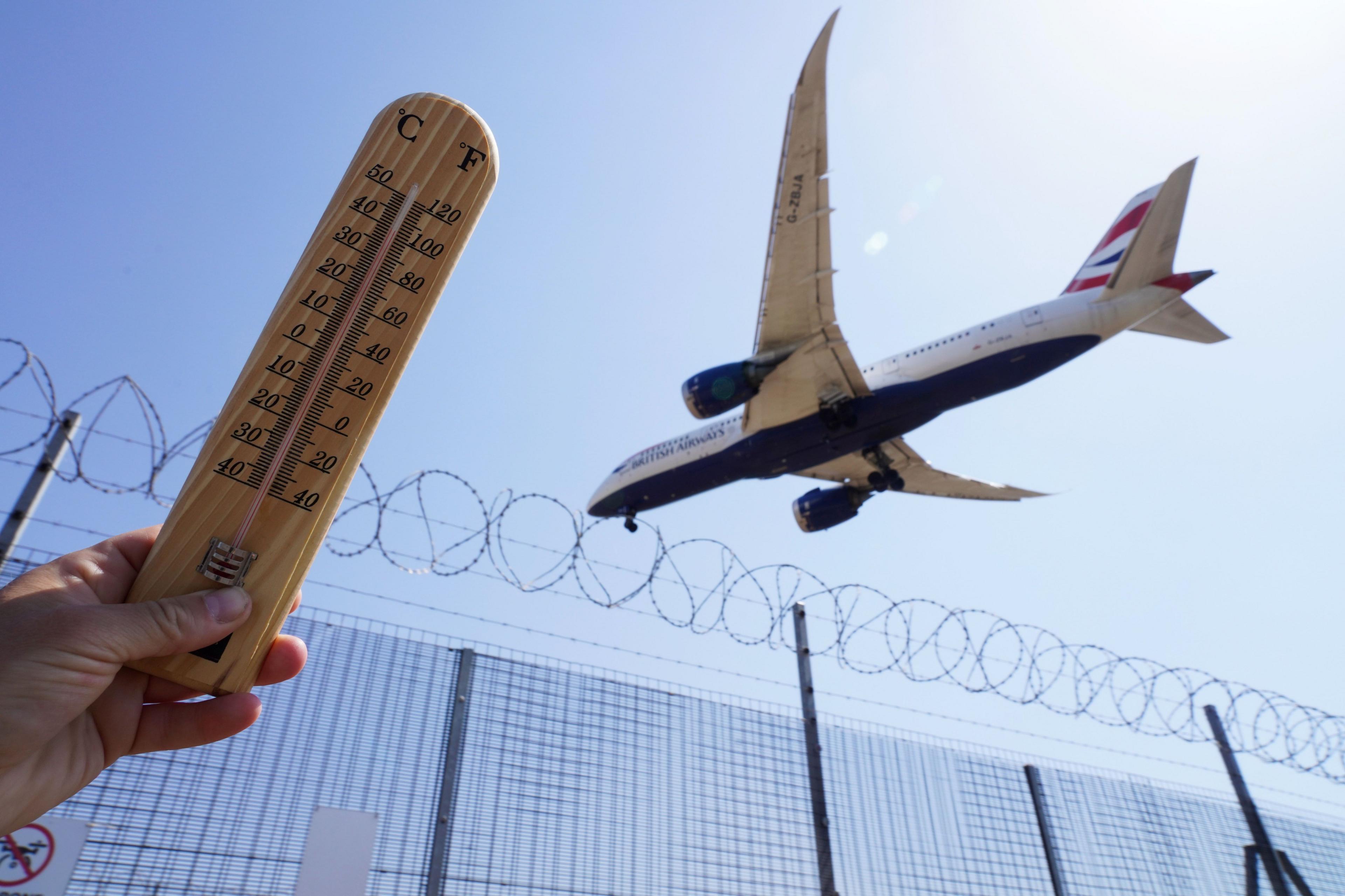
Will UK feel effect of Hurricane Erin?

- Published
With the August Bank Holiday fast approaching in England, Wales and Northern Ireland, there are reports that Hurricane Erin could bring large amounts of rain to the UK into next week.
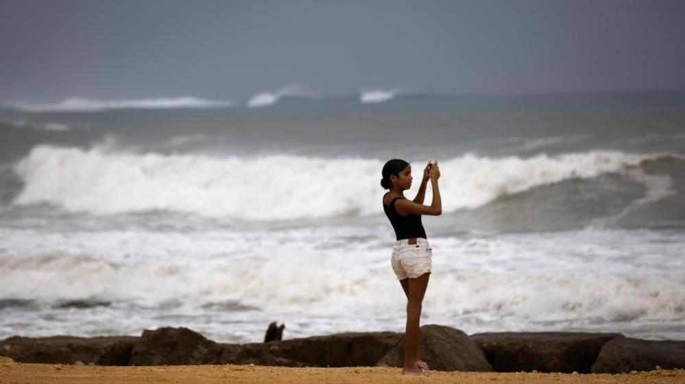
Hurricane Erin is currently a major storm which is forecast to bring considerable amounts of rain to the eastern coast of the United States.
Although at this stage Erin is not expected to make a direct hit to land, the rains caused by the storm are already beginning to hit the south-eastern Bahamas and the Turks and Caicos Islands, where a tropical storm warning is in effect.
Some media outlets are suggesting a '600-mile wall of rain' will hit the UK as a result of Erin.
BBC lead weather presenter and meteorologist Simon King explains that this is physically impossible.
He said: "These reports are simply suggesting that the low pressure containing the remnants of hurricane Erin would be 600 miles wide as it moves to the west of the UK, a size very typical for this type of weather system that affects the UK.
"Rain doesn't fall in a continuous sheet stretching for hundreds of miles so there'll be no 'wall of rain' to come with it either."
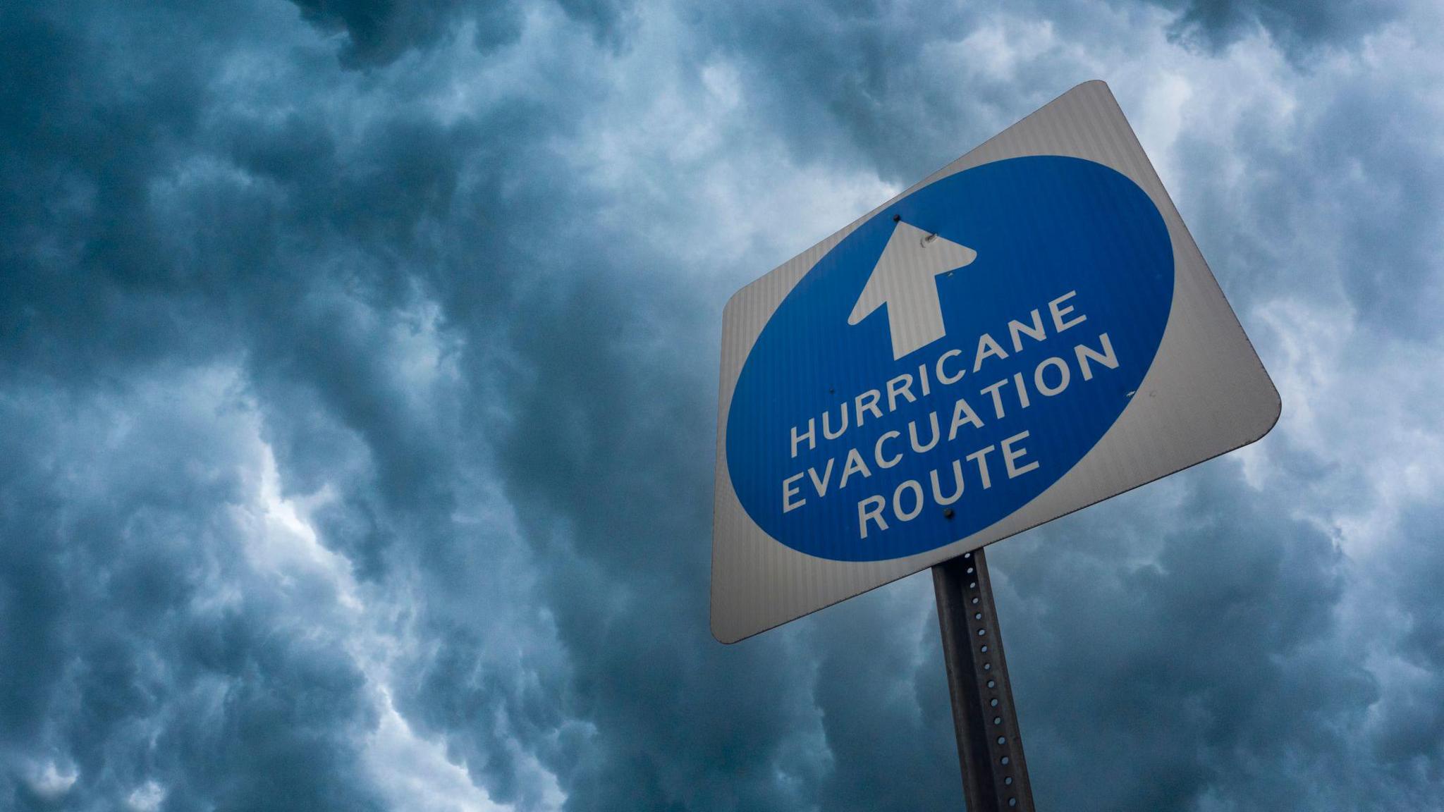
What impact will ex-hurricane Erin have?

Map: Predicted path of Hurricane Erin
Hurricane Erin is currently a category three hurricane as it threatens to bring life-threatening surf and rip currents to the eastern coast of the United States.
However, the effects of Erin are not due to be felt in the UK's weather until next week, as Simon King explains:
"Into next week the weather will eventually turn a little more unsettled with the remnants of what will be ex-hurricane Erin.
"While Erin is still over 3,000 miles away from the UK, it will eventually weaken as it moves across the North Atlantic and arrive to the west of the UK as an area of low pressure – a process we often see in the UK from mid-August as the hurricane season starts to pick up.
"And being over a week away, there are still lots of uncertainties with the forecast, but we could see some wet and at times windy weather from mid-week."
What's the weather looking like this week?

Pressure charts suggest mostly settled weather for the next week
This week high pressure will shift to the north-west of the UK, south of Iceland, and by Friday it will extend a ridge across the UK bringing us settled and mostly dry weather.
This will give rise to a north-easterly air flow and whilst it will be warm for many, this will more likely be in central and western areas of the UK.
Low-level moisture will result in areas of low cloud at times across central and eastern parts but the August sunshine will melt this away in the afternoons.
On Friday, a shallow area of low pressure is set to develop in northern areas, possibly giving rise to a couple of light showers for some. On the whole it will be a largely dry but rather cloudy day for many on Friday. Some brightness is possible downwind of high ground.
There could be a few isolated showers developing in parts of southern Scotland, northern England, and possibly Northern Ireland.
There will be a north-easterly breeze in the east but light and variable winds will develop elsewhere as the area of high pressure sinks southwards.
It should turn widely sunny into the evening and temperatures will range from 18-22C (64-72F), with a few spots in the west Midlands possibly reaching 24C. It will be cooler in the far north-west with a maximum temperature between 16 and 18C but staying cooler along eastern coasts.
How's the weather for the bank holiday?

Reading and Leeds Festival takes place across the August Bank Holiday weekend and look likely to escape significant rain
Into the weekend, some weather fronts may try and push in from the west but are likely to be fairly weak as they bump into high pressure over the UK and then fizzle out.
It will stay dry for most and the winds will become variable and move round to a south-easterly. Scotland will have a few sunnier spells but there will be a lot of cloud around for much of the day. Northern Ireland and northern England will be mostly cloudy. Further south there will be some sunshine but once again cloud will build through the middle part of the day.
Temperatures will rise slightly as we lose the north-easterly wind and will be back above average for the time of year for central and southern England. On Saturday and Sunday, central and southern England will be the warmest spots with temperatures between 23 and 25C.

The forecast is settled into the Bank Holiday weekend with temperatures in the high teens to mid twenties in Celsius
On Saturday northern Scotland will see the lowest temperatures, between 17 to 19C. Elsewhere they will hover in the high teens to low twenties in Celsius.
By Sunday, maximum daytime temperatures in northern Scotland will rise to the low twenties; elsewhere it will be a similar story to Saturday.
There is a lot of uncertainty in the forecast for Bank Holiday Monday and the following days with low pressure in the Atlantic and the remnants of Erin that may start to approach the UK and bring unsettled weather. So there is the likelihood of some wet weather in the forecast but detail is very uncertain at the moment due to it being a week away.
With September and the start of meteorological autumn fast approaching, this summer could end up being one of the UK's warmest on record, according to provisional statistics from the Met Office, external.
With a few weeks of summer still to play out, you can keep up to date with your local forecast by downloading the BBC Weather app or going to the BBC website.
- Published20 August 2025
- Published22 May 2025
- Published12 August 2025