Gloomy skies to be replaced by sunny spells and weekend rain

- Published
Rain is on the way over the weekend as the grey, murky weather that has been lingering across much of the UK finally clears.
Whilst high pressure has been blocking weather fronts from reaching our shores recently, patterns will start to shift, allowing more changeable conditions to take hold.
This means a little more sunshine but also more rainfall in the forecast.
Some places have seen little or no rain since Storm Amy hit in early October but wetter weather looks likely over the weekend and into next week, with the chance of some thunder.
When will the grey go away?

Low pressure arriving from the Atlantic through the weekend will bring a wetter and windier spell of weather to the UK
The jet stream that is responsible for delivering us areas of high and low pressure has been sitting to the north of the UK in a slow-moving, blocked pattern. It will start to strengthen and push south over the next few days.
This will allow a low pressure system to sweep in from the Atlantic, just in time for the weekend.
During Thursday and Friday, whilst many of us will keep the dry and rather cloudy conditions, a slight change in wind direction should mean that the cloud breaks up more readily, allowing a little more sunshine, especially for parts of Wales and southern England.
Through the weekend, as high pressure moves eastwards and low pressures arrives, we expect a gradual breakdown in the settled conditions.

Many places will see a much more changeable theme into next week
Whilst timings remain a little uncertain, rain is likely to arrive in western parts of the UK during Saturday afternoon and evening, before spreading across all areas overnight and into Sunday.
Some of the downpours could be heavy with the chance of thunder.
Winds will also strengthen, with gusts expected to exceed 40mph (64km/h) in western areas for a time.
The more unsettled theme will then continue to dominate next week, meaning it will be significantly wetter than it has been recently.
There will be some sunny spells but also heavy showers or longer spells of rain, potentially with some strong winds.
Anticyclonic gloom
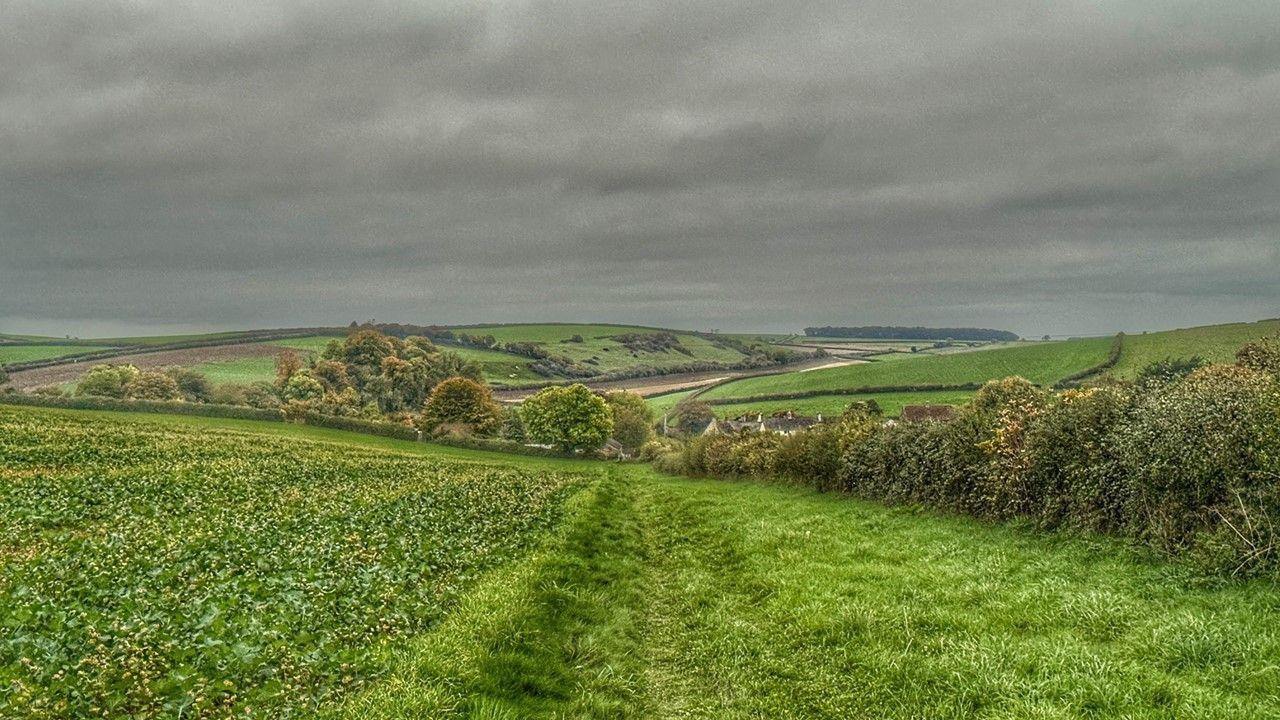
You may be feeling a bit hard-done by if you have not seen much blue sky since the start of the month.
Whilst high pressure is often associated with fine and settled weather, this does not always mean sunshine, especially during autumn and winter.
This week, large amounts of cloud and moisture have been trapped under the high bringing murky and gloomy conditions which have lingered for many days.

Sunny skies can be found over high ground whilst murk and drizzle gather in valleys
This anticyclonic gloom can form when winds - that blow clockwise around high pressure - push moisture from the Atlantic and North Sea across the UK.
Descending air overhead then squeezes downwards, trapping that moisture as a layer of low level cloud.
Mist, fog and drizzle are also common features of this type of weather set-up, as stable air and light winds prevent the fog clearing and the cloud breaking up. The low angle of the sun during autumn and winter means it effectively has less power to burn off the cloud.

The satellite image this week has often shown that the best cloud breaks have been over the highest ground in places like the Pennines and Scottish Highlands
However, not everywhere has experienced the same relentless grey and this week, the best place to head has been up high in the hills, above the temperature inversion.
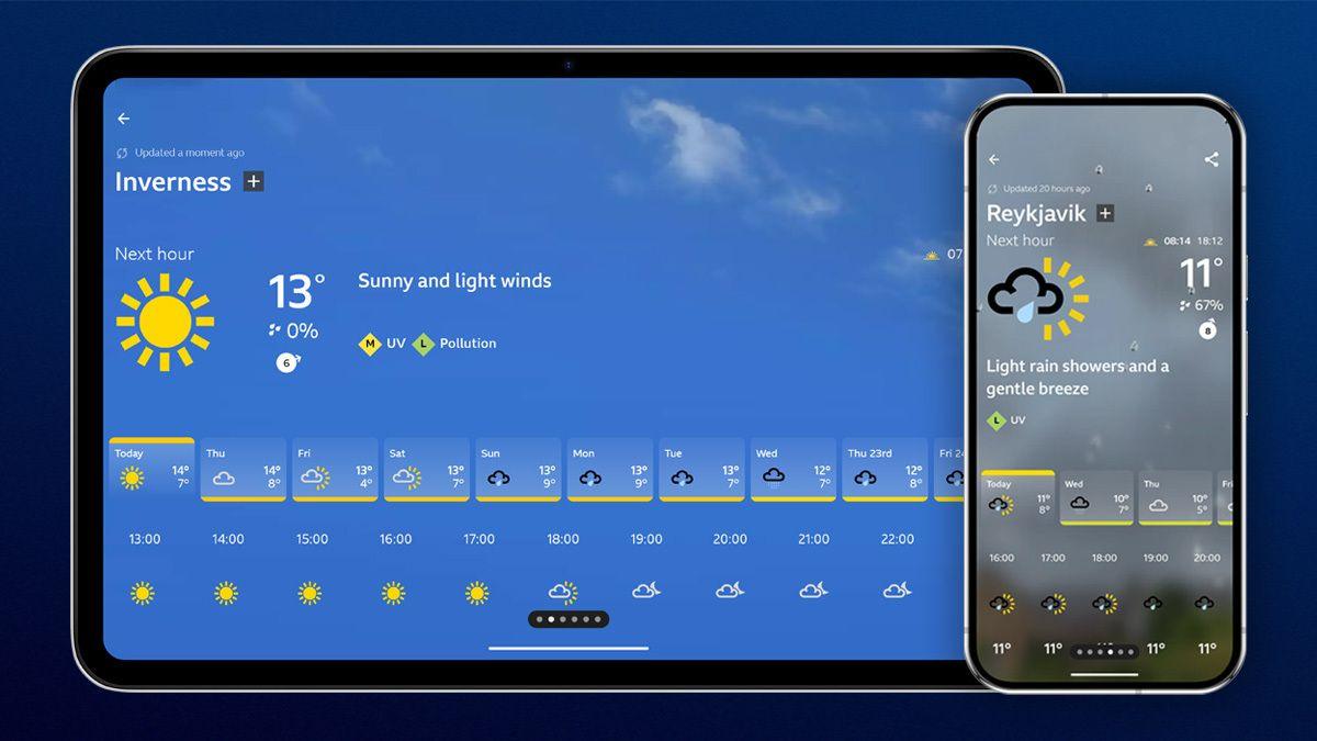
Keep up to date with the latest forecast on the BBC Weather App.
- Published6 November 2024

- Published10 December 2025
- Published1 day ago