
According to the Met Office April has been a warmer than average month in Wales, with the north being drier, but parts of the south slightly wetter than normal.
It looks like May will start unsettled with a slack area of low pressure bringing in some rain and heavy showers over the next 24 hours.
The Met Office has issued a warning of heavy rain for parts of south and east Wales as well as Powys tomorrow afternoon, with a risk of surface water flooding.
Thunderstorms are possible tomorrow too but some places will escape the downpours.
Pembrokeshire for example may be lucky and get away with a dry afternoon and even brighten-up a little with some sunshine.
Heavy showers will ease on Thursday night and Friday promises to be a better day with plenty of cloud.
It will feel cooler but remain mostly dry with a few bright or sunny intervals.
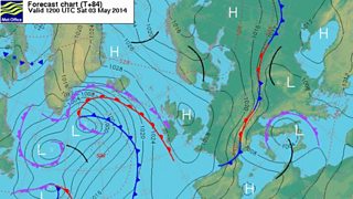
Weather chart for Saturday 3 May.
Temperatures will reach 12 or 13°C but overnight it will turn cold with a fairly widespread ground frost. If you're a gardener it would be wise to cover up any delicate, young plants or even bring them indoors, just in case.
High pressure will move in over the UK on Saturday bringing dry and settled weather and sunny spells.
Clouds will build up and after a chilly start, temperatures will reach 12 or 13°C, not that high, but the wind will be light.
Then on Sunday we’re probably looking at more cloud than sunshine but much of the country dry, with just the odd spot of light rain or drizzle in the far northwest.
At the moment, Monday looks dry and bright with spells of hazy sunshine. It should become a little warmer too with a south to south-easterly breeze developing.
So, there’s some decent weather for the first bank holiday weekend in May. I can't promise a clear, blue sky every day but there will be plenty of dry weather.
Saturday may be the sunniest day. The nights will be chilly with a risk of ground frost but when the sun is out it should feel pleasant enough with mainly light winds.
