As November draws to a close we enter meteorological winter.
Officially beginning on 1 December, the meteorological winter will span the next three months and is different to the astronomical winter.
In the astronomical calendar, the start of seasons are marked by transition points of equinoxes and solstices, dependent of the Earth's orbit around the sun.
Given that the Earth's orbit is not a perfect circle, these dates change every year. This year's winter solstice will take place on 21 December, the shortest day of the year, marking the start of the astronomical winter season which will end on 19 March.
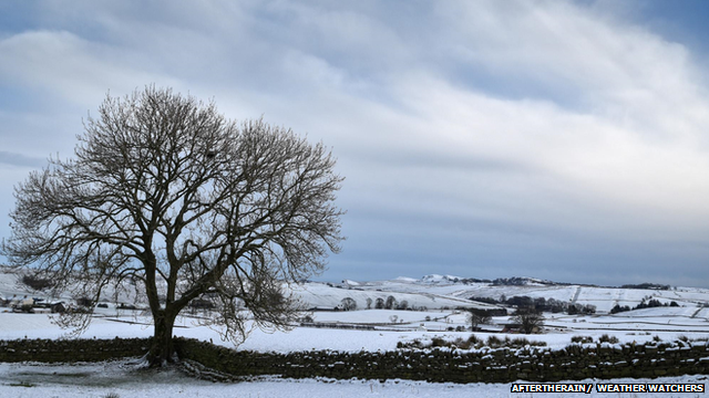
Snow covered Hadrian's wall path in Gilsland, on the Cumbria/Northumberland border, in January.
In recent years we've seen some of the wettest winters on record. The winter period for 2013-2014 saw 544.9 mm of rainfall, and last year became the wettest winter recorded so far for Scotland, Wales and Northern Ireland.
Many parts of northern England experienced record-breaking rainfall too. On 5-6 December 2015 Storm Desmond brought severe gales up to 81 mph and caused major flooding across the north of England and Scotland.
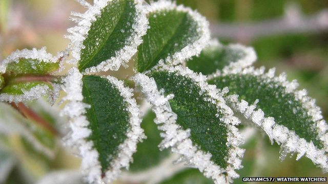
Frosted leaves captured in Sawbridgeworth, Hertfordshire, in January.
The coldest winter on record in the UK was in 1962-1963, where cold temperatures persisted for several months and coined the phrase "The big freeze of 1963".
In contrast, the warmest UK winter - since records began in 1659 - was 1869 where temperatures were 6.8 C, slightly ahead of last year's mean winter temperature of 6.7 C.
Here is a reminder of some winter snaps taken by our Weather Watchers:
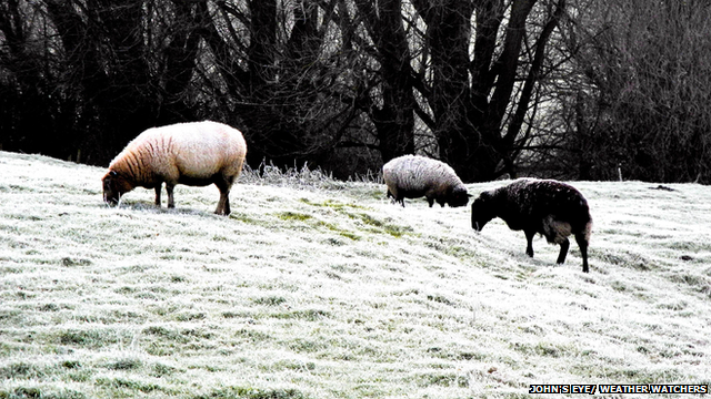
Sheep grazing on a wintry field in Bainton, East Yorkshire, in January.
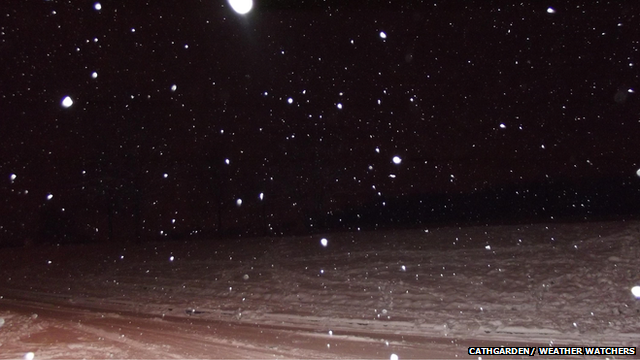
Night time snow scene in Pollock, Glasgow, captured by Weather Watcher CathGarden in January.
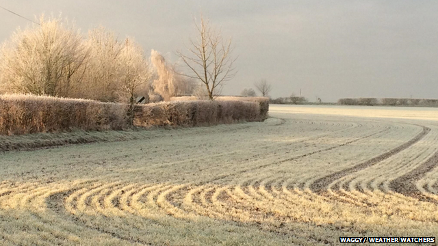
Frosty scene taken in Halstead, Essex, by our Weather Watcher waggy in January.
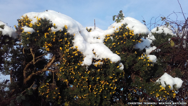
Snow sitting on hedges in the Dungannon District, in December 2015.
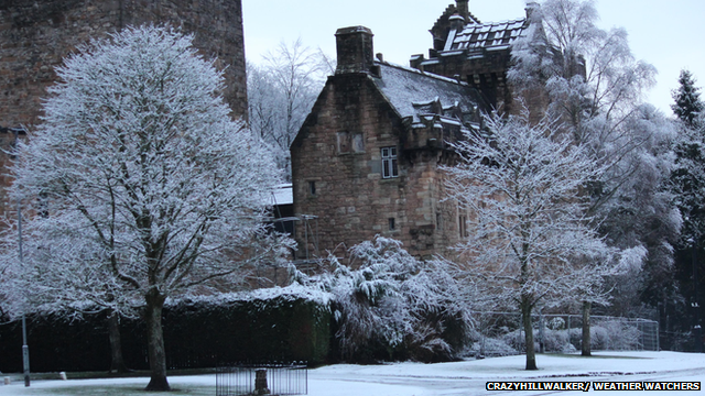
A picturesque snow-topped house in Kilmarnock, East Ayrshire, in January.