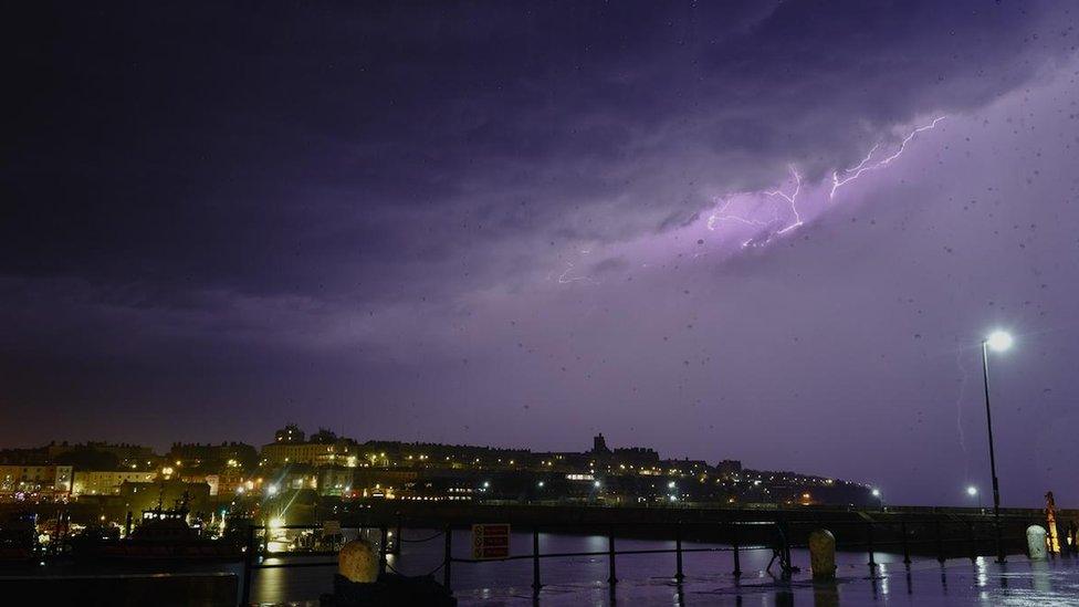
Weather Watcher Astromal captured the electric skies over Ramsgate.
Skies across the UK played host to some spectacular light shows over the last couple of nights.
The acoustics were pretty dramatic too.
It is estimated that thunderstorms generated more than 30,000 lightning strikes in and around the UK on both Sunday and Monday night.
The majority of the strikes harmlessly discharged. However, fire services were called to a house that was struck in Little Hampton, West Sussex and another house was hit in Cornwall.
The storms also caused a power cut on the Isle of Wight, and a plane departing Guernsey airport was forced to return after being struck.

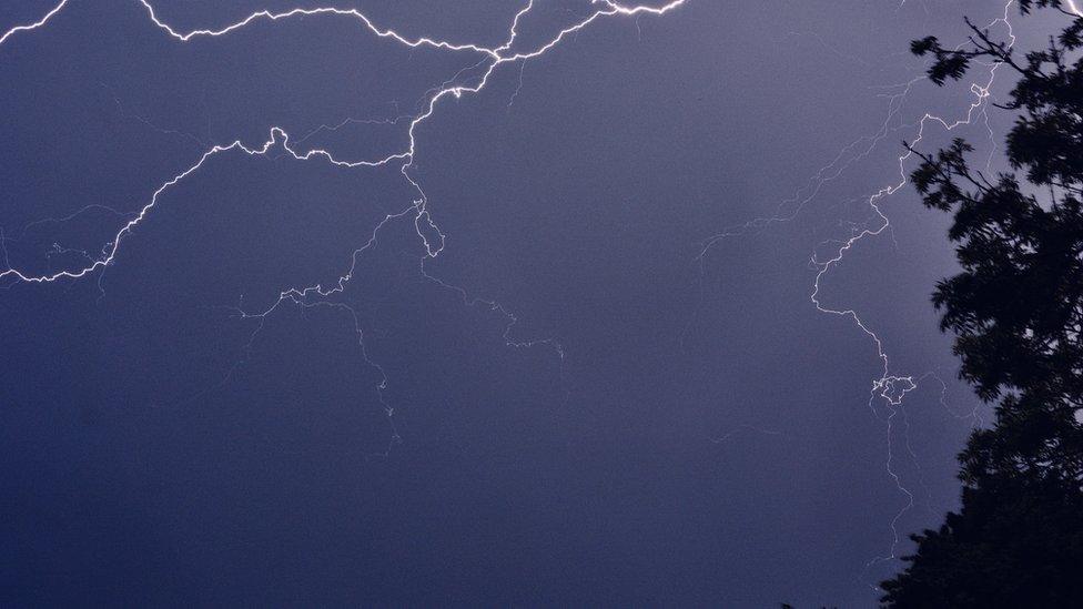
These flashes of lightning were captured by Mr Twister in Leek, Staffordshire.
Lightning and energy
The energy delivered by just one lightning strike is around five billion (5,000,000,000) joules, which is enough to power an average house for four months.
What causes thunder and lightning?
The air immediately around a lightning bolt heats to three times the temperature of the surface of the sun. It's perhaps unsurprising, then, that a direct strike can have big impacts.

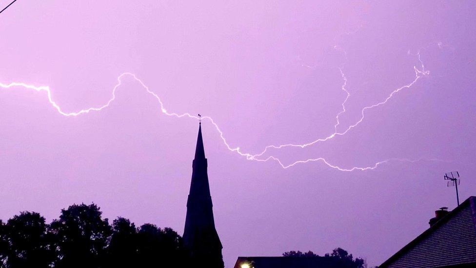
There were more than 30,000 lightning flashes detected across the UK on Monday night. Weather Watcher Andy H saw this one in Kenilworth, Warwickshire.
Why is the atmosphere across the UK so electrified right now?
Overall, the UK is still pretty warm following summer. The ground temperatures, sea temperatures and the air directly above the surface are all holding plenty of energy.
When weather systems start to push in from the Atlantic, with much cooler air higher in the atmosphere, they are energised or destabilised by the warmth beneath.
This is the perfect formula for thunderstorm development.

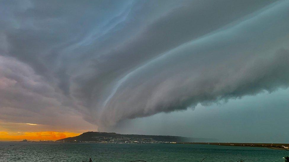
Spectacular shelf clouds, which are associated with thunderstorms, were spotted in Weymouth, Dorset. Pic by Weather Watcher Graham.
Sometimes this process is short sharp one, where thunderstorms develop and are over within a period of hours. This week, though, we are seeing a much slower transition, so it likely we will see thunderstorms until at least mid-week.