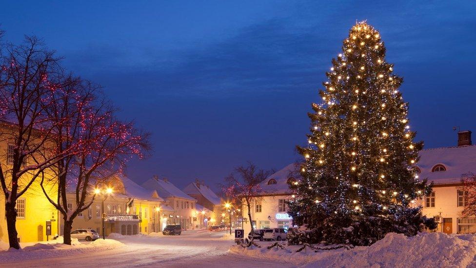
The chance of lying snow on Christmas Eve has halved in some parts of Europe
Have you been dreaming of a white Christmas? Well, the chance of that dream becoming reality may be increasing - but only for some.
University of Helsinki scientist Daan van den Broek studied weather records for Europe dating back to the 1950s. He found that in the United Kingdom some places have seen the probability of lying snow on Christmas Eve increase over the past 30 years.
He picked Christmas Eve because that is the day much of Europe celebrates. In the UK we define a white Christmas as "one snowflake being observed falling during the 24 hours of 25 December".
Where is the highest chance of getting a white Christmas?
Southern and eastern England have seen the most drastic rise in snow probability. Here, the chance of lying snow on Christmas Eve between 1991 and 2020 was more than 10% higher compared to 1951 to 1980. But in parts of the Scottish Highlands the chance of lying snow on Christmas Eve has decreased by up to 30% over the same period.
Northern and eastern Scotland, northern England, north Wales and the north-west Midlands are still the areas more likely to get a white Christmas Day, despite the rise in probability further south.
What about the rest of Europe?
As climate change continues to drive up land and sea temperatures, the picture is very different across the rest of Europe. The chance of lying snow on Christmas Eve has dropped dramatically for much of central and eastern Europe, especially for parts of Germany and Poland, with a reduction of 50% in places.
In the mountainous regions such as the Alps, Balkans and Pyrenees, the elevation of guaranteed Christmas snow has been rising.
Why are some places getting snowier while the climate warms?
The research found snowy Christmases have been historically infrequent in southern parts of the UK, so even a "small number of snowy events can disproportionately influence the overall trend".
We have seen some particularly snowy winters around the turn of the millennium and the 2010s, which may be responsible for the recent rise.

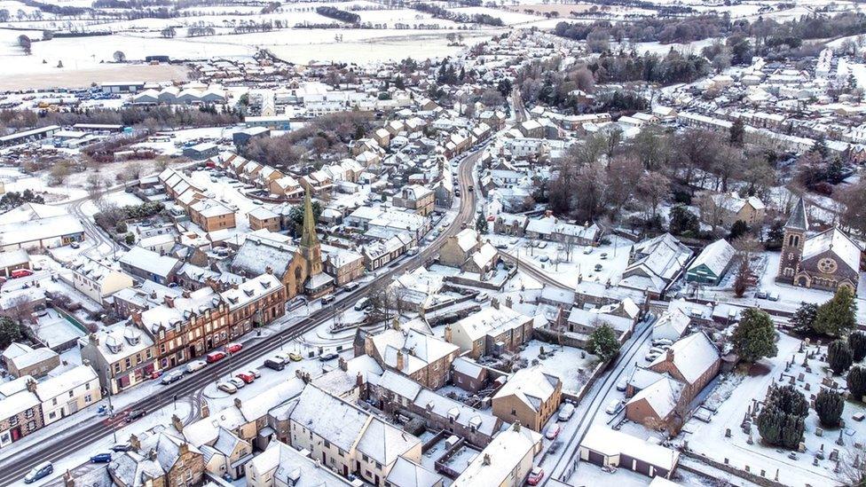
Snow fall in Biggar, South Lanarkshire, on Boxing Day
We do know that warmer air holds more moisture and some scientists think that an increase in blocking patterns in the jet stream could raise the chance of spells of more extreme precipitation - which could fall as snow if cold enough.
In the UK the Met Office expects our winters to become warmer and wetter. Whilst we'll still see some extreme winter snowfall events this does not mean the recent uptick in snowy Christmas Eves will continue.
Will it be a white Christmas this year?
As we look towards Christmas this year weather patterns remain changeable, with mild and wet weather interspersed with drier, cooler days. Some computers models are trending towards a colder spell as we near Christmas Day, especially in the north, but other forecast models suggest milder conditions will set in.
However, keep an eye on the forecasts on BBC TV and on our website, app and social channels, as we will have a much clearer idea around five days in advance.