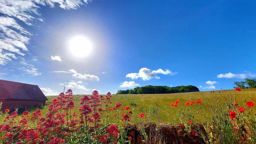
Late May and early June have brought a prolonged dry spell
There are parts of the UK where it hasn't rained for a month. Mumbles, near Swansea, recorded its last measurable rainfall on 8 May.
Many other places have been dry for almost as long because a stubborn area of high pressure has lurked close to our shores.
For some that's meant seemingly endless blue skies: In the last two weeks Anglesey has basked in close to 200 hours of sunshine.
But that hasn't been the case for all of us. Parts of the Norfolk coast have seen closer to 60 hours of sunshine in that time, and Orkney has had just over 40. That's because we've been stuck with a chilly north-easterly breeze - and a feed of cloud - off the North Sea.

Eastern areas have been plagued by a cool and cloudy onshore flow
However, changes are now taking place that will push the thermometer readings upwards and deliver some much needed rain in the form of thunderstorms.
A blocked pattern
For the last few weeks we've had what weather forecasters call a "blocked" weather pattern.
High pressure has acted as a block - almost like a boulder in a stream - preventing the flow of weather systems across the UK.
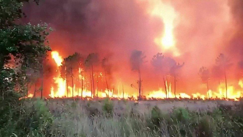
Forced to travel around that block, the jet stream has carried low pressure to the north and to the south of us, which is partly responsible for the relentless thunderstorms that have battered southern Europe. It's brought localised flooding and put a dampener on some early summer holiday plans.
Shifting the block
A potent area of low pressure, named Storm Oscar, has developed in the south-west of Europe. It has brought flooding and mudslides in Madeira and generated widespread thunderstorms across mainland Portugal and Spain.
The centre of the storm storm itself won't affect the UK, but as it swirls northwards it will give our block of high pressure a kick, shifting it eastwards and changing the wind direction to a south-easterly. Rather than flowing over the chilly waters of the North Sea our air will be imported from continental Europe which will mean a noticeable change in the feel of the weather over the weekend.

Temperatures over the weekend will widely reach the mid- to high 20s
Daytime temperatures will reach 28C - or maybe even slightly higher - and the nights will be significantly warmer too. In fact with high levels of humidity the sultry feel could make sleeping a bit difficult.
Some North Sea coasts may continue to see areas of low cloud rolling onshore at times but most eastern parts of England and Scotland should be brighter and warmer than recently.
Will there be a heatwave?
For a heatwave to be officially declared temperatures must meet or exceed a certain threshold for at least three consecutive days. This figure varies across the country, from 25C in Northern Ireland and Scotland to 28C in parts of south-east England.

The definition of a heatwave varies across the UK
At the moment it's not expected that this will happen widely - although the threshold may be reached in a few spots, especially in the south and west.
Either way, the weather coming our way won't be anything unprecedented or extreme for the time of year. But it will feel like a shock to the system after a spring that lacked any prolonged spells of very warm weather.
Is rain on the way?
Before you break out the barbecue or plan a trip to the seaside it's worth double checking the forecast. With the increasing warmth and humidity there is the chance of some downpours and thunderstorms, which will drift northwards across the country.

Not everyone will see thunderstorms over the weekend
However these are expected to be quite hit-and-miss in nature. Where they crop up some could contain hail, squally winds and enough rain to give localised flooding but there are also likely to be places that fall between the showers and stay completely dry.
So while some spots will get their first rainfall in a month, for others the long dry spell could continue for a little longer.
- Published12 May 2023
- Published9 January 2024
- Published11 August 2022