An exceptionally wet January across the UK

- Published
As the last few days of January approach, conditions across the country are set to remain unsettled for many of us with more wind and rain in the forecast.
Although January 2026 may have begun with a harsh Arctic blast, bringing biting temperatures and widespread snow, this quickly gave way to a volatile period of heavy rain and flooding as milder Atlantic air took over.
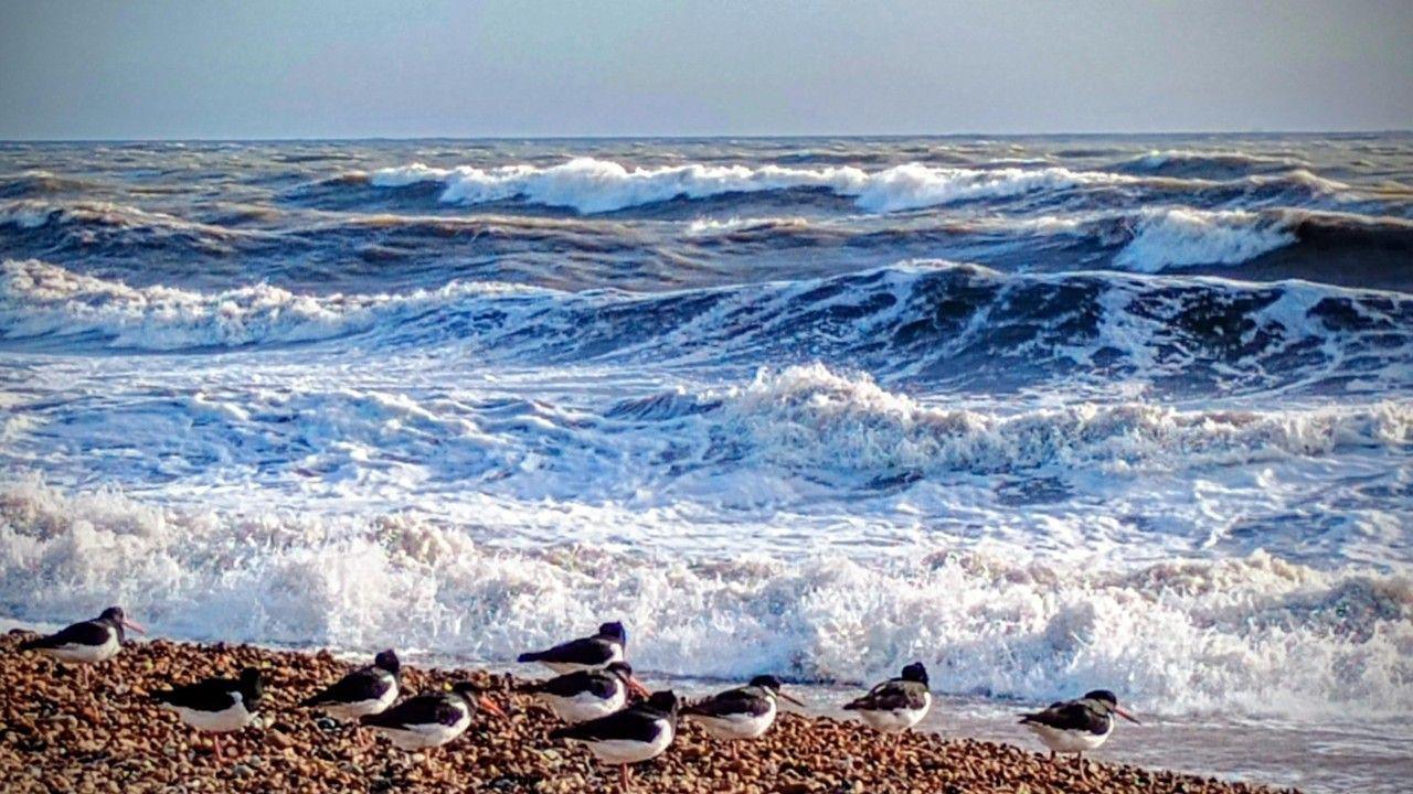
Exceptionally wet weather, marked by a series of high-impact storms and persistent rainfall, has saturated the ground and triggered widespread flooding, external.
Large parts of the UK have had well above-average January rainfall, with some regions seeing close to double the average and the wettest areas more than triple.

Some parts of the UK have seen over 300% or three times their average amount of rain for the month with still a few days left
How a soggy month unfolded
After a cold start to January, the latter half of the month saw a dramatic spike in rainfall thanks to the arrival in quick succession of Storms Ingrid and Goretti.
Storm Goretti was one of the most impactful storms to hit Cornwall in over 30 years causing flooding, power cuts and travel disruption.
Then the arrival of Storm Chandra on Tuesday exacerbated an already soggy situation with Met Office amber weather warnings, external issued.
It is estimated 60–80mm of rain fall on saturated ground in south-west England and Wales. Some higher ground in Dartmoor recorded over 100mm in 24 hours.
In Northern Ireland, Katesbridge recorded its wettest January day ever with 100.8mm of rain, while peak wind gusts hit 80mph at Orlock Head.

Parts of Northern Ireland and the north-east and south-west of the UK saw the wettest conditions from Storm Chandra
Why has it been so wet?
An unusual and persistent mix of cold and wet conditions has dominated the month. Strong high pressure over eastern Europe and Scandinavia has locked in a very cold air mass, while an active jet stream has steered a succession of Atlantic low-pressure systems towards the UK.
These systems have repeatedly slowed or stalled as they encountered the blocking high to the east, leading to prolonged spells of unsettled weather and elevated rainfall totals.
At times, colder air has attempted to feed back into northern parts of the UK from the east, allowing any precipitation to turn wintry over higher ground in the north.
With this pressure pattern in place, winds have predominantly come from the south-east, bringing some of the wettest conditions to parts of north-east Scotland, south-west England, and eastern areas of Northern Ireland.

High pressure and very cold air to the north-east and low pressure with milder air to the south-west as brought predominately south-easterly winds to the UK this month
The 'Wet Winter' requirement
Despite the recent misery from flooding and disruption caused, frequent and heavy rainfall is essential for long-term water security.
Prior to this recent wet spell, the Environment Agency warned that England in particular, was at risk of a widespread drought in 2026 after experiencing a record-dry 2025.
To fully recover from drought conditions by spring 2026, most of England needs to receive at least average winter rainfall levels.
While recent rains have helped replenish some reservoirs, experts caution that rainfall must remain average to above average through to the end of March to prevent water restrictions later in the year.
How long will it continue to rain for?
The forecast for the remainder of January and into early February suggests that conditions will remain generally unsettled.
Further spells of rain are likely, at times heavy, accompanied by periods of strong and occasionally gusty winds.
At present, there is little indication of any prolonged drier or more settled weather on the horizon.
For a more detailed forecast, you can check the weather where you live.
- Published22 hours ago

- Published1 day ago