UK braces for coldest nights of winter so far with temperatures dropping close to -20C

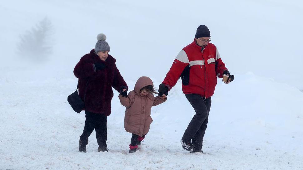
Heavy snow on Wednesday in southern England left beautiful wintry scenes at Haytor in Dartmoor, Devon
- Published
The coldest night of winter so far is likely to come on either Thursday or Friday with temperatures possibly dropping as low as -16 to -20C.
While flooding, ice and further wintry showers continue to affect parts of the United Kingdom, the cold snap will continue until the end of this week.
Met Office yellow weather warnings for snow and ice are in force across England, Wales, Scotland and Northern Ireland.
Amber health alerts from the UK Health Security Agency across England are valid until 9am on Tuesday.
Some areas of snow and ice will bring some disruption but overall the weather will turn a little quieter for the rest of the week.

The scene early on Thursday morning in Insch, Aberdeenshire, where snow has been mounting up for several days
It was a bitterly cold start to Thursday morning with a widespread frost, ice and lying snow in places.
Minimum temperatures got as low as -12.4C in Tulloch Bridge, Scotland.
For England, Wales and Northern Ireland it was the coldest night of the winter so far with lows of -11.2C in Shap, -7.8C in Sennybridge and -7.3C in Castelderg.
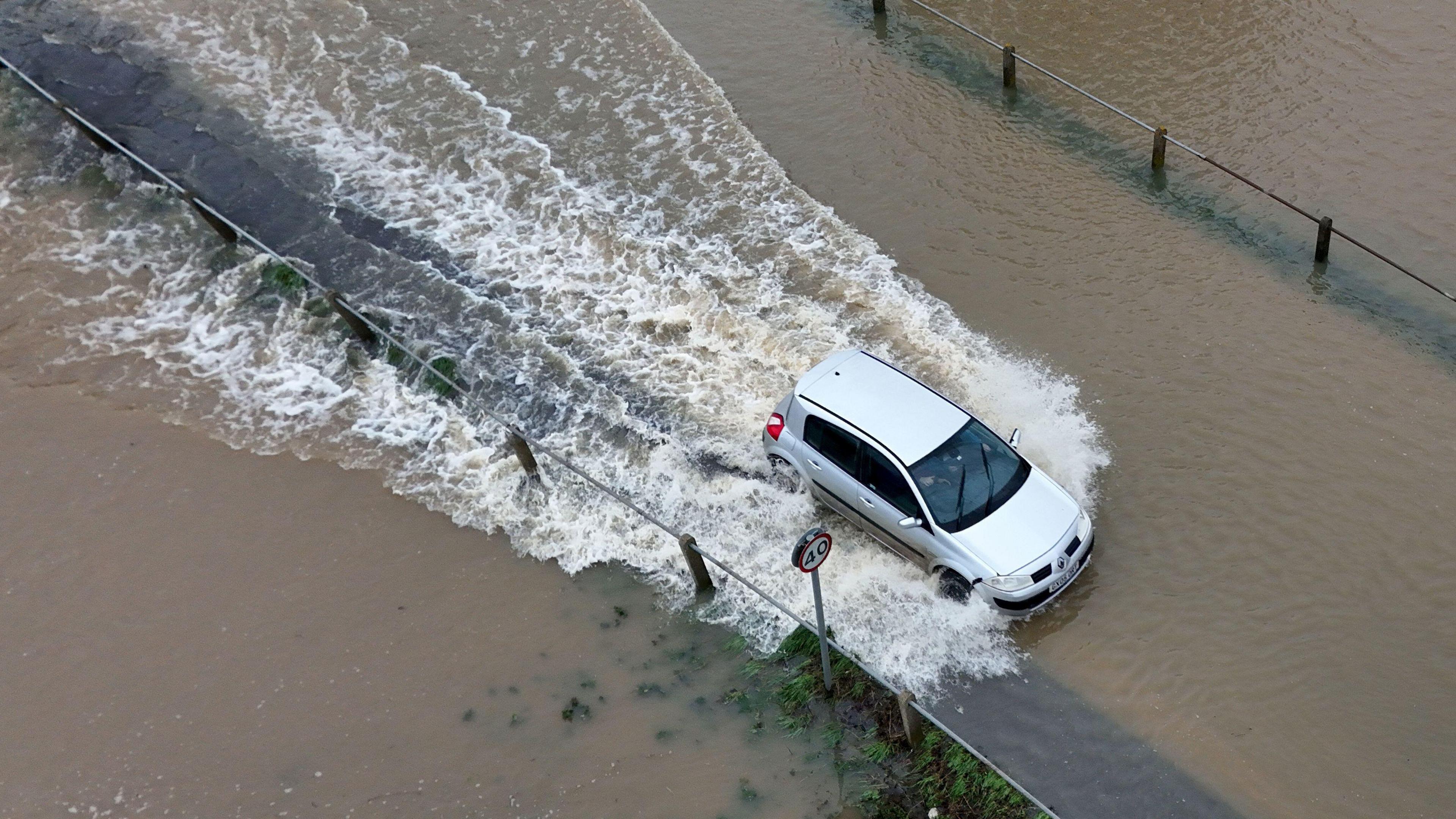
Meanwhile, the heavy rain from earlier this week means there is still some flooding, in parts of England, including in the Severn and Trent river catchments.
The number of flood warnings is now reducing quickly and with no further rainfall expected in those areas, waters will continue to subside.

Some of the snow covered fields such as this in Moray could see temperatures below -16C on Thursday night
Very cold nights on the way
On Thursday, the UK will be between weather systems, as higher pressure builds. This means skies will be clearer and winds lighter, allowing temperatures to drop rapidly below freezing.
Across most parts of the UK there will be a hard frost with minimum temperatures getting down to between -4C and -11C widely.
Over the Pennines and the snow-covered fields of Scotland, it could be as cold as -16C to -18C, possibly close to -20C, making Thursday the coldest night of winter so far.
Whilst Friday night will be slightly milder for much of the UK, it could be even colder for north-east Scotland, where locally, we could see another night of lows close to -20C.
The last time the UK recorded a temperature that low was on 11 February 2021, when the temperature at Braemar in Aberdeenshire fell to -23C.
Prior to that, you need to go back 15 years to find a lower temperature.
The lowest recorded temperature in the UK is -27.2C.
This was recorded in December 1995, January 1982 and February 1895 in Atlnaharra and Braemar, Scotland.
How long will it stay cold for in the UK?
The cold Arctic air that is currently across the UK will stick around for the rest of the week bringing some of the coldest weather of the winter so far.
While widespread and hard frosts are likely overnight, daytime temperatures will stay well below average for this time of year.
Maximum temperatures for parts of Scotland and northern England may not reach above freezing. At best, the highs will be around 2-5C.
By the end of the weekend, milder air will start to come in from the south-west so temperatures will rise and there will be fewer overnight frosts.
On Monday, temperatures will climb to between 4-12C, much closer to the January average, although it will still feeling chilly in south-east England as colder air will hold on longest here.

Milder south-westerly winds will bring higher temperatures by the end of the weekend for most of the UK
- Published8 January 2025
- Published6 January 2025