
Cardiff was the warmest place in the UK last Sunday with a high of 14.2° Celsius but it's going to be some time before we see temperatures that high again! There is a noticeable chill in the air today with a brisk wind from the Arctic bringing lower temperatures - typically 5 to 9° Celsius across the country this afternoon.
Tonight much of the country will be dry and clear. The wind will continue to ease with a widespread ground frost and some air frost. Temperatures on Anglesey will stay above freezing but in rural parts of mid Wales they will drop as low as -4° Celsius with the odd shallow mist or fog patch.
Tomorrow will be a dry, bright and crisp day thanks to a ridge of high pressure with most of the country enjoying plenty of sunshine. However, the odd shower is likely in the west of Anglesey and the far west of Pembrokeshire including Ramsey Island. The wind will be lighter than today with highs of between 4 and 9° Celsius.
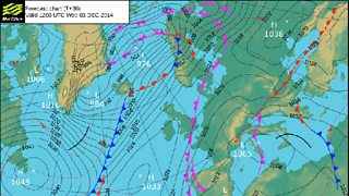
Weather forecast 3 December 2014
Tomorrow night there will be some more frost and a few freezing fog patches will form as well, with some low cloud spreading from England into south and east Wales.
On Thursday more dry weather. Freezing fog patches will slowly lift. The best of the sunshine in the north and west but parts of the south and east will stay grey with low cloud and perhaps a few spots of drizzle. Feeling chilly but the wind will remain light with top temperatures 4 to 7° Celsius.

Photograph of Penmon Point Lighthouse by Richard Walliker
On Friday a cold front will bring a little rain followed by sunshine and showers. Most of the showers will be in the north and west; heavy in places with hail and thunder and on high ground the showers will have a wintry flavour falling as snow on the mountains.
