Main content
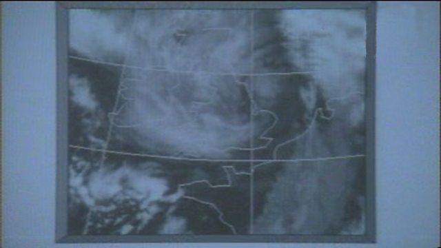
Collecting atmospheric data by satellite
Satellites give forecasters a unique overview of the world's weather. The images sent every few minutes give a picture of the changing atmospheric conditions and can help predict how the weather in different locations will develop.
Duration:
This clip is from

More clips from Bitesize: Geography
![]()
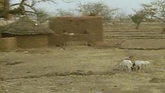
Burkina Faso – large scale impact of desertification
Duration: 02:23
![]()
Data collection at weather stations
Duration: 01:02
![]()
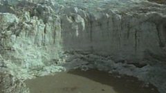
Highland landforms – before and after glaciation
Duration: 02:03
![]()
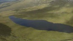
Lochaber – high level glaciated landscape
Duration: 02:28