Storm Chandra brings danger to life warnings and January rainfall records across UKpublished at 18:58 GMT 27 January
 Adam Goldsmith
Live reporter
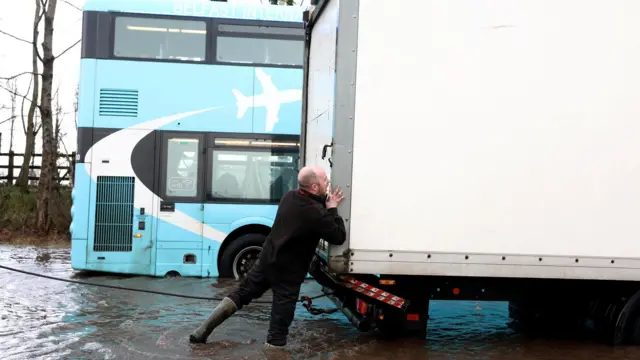 Image source, Reuters
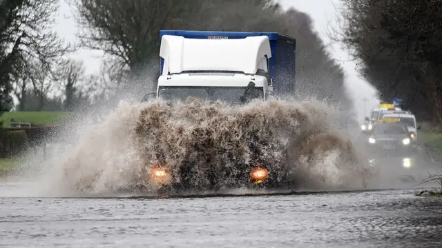
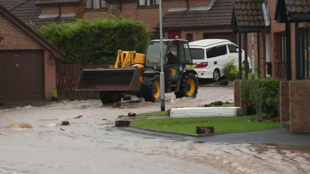
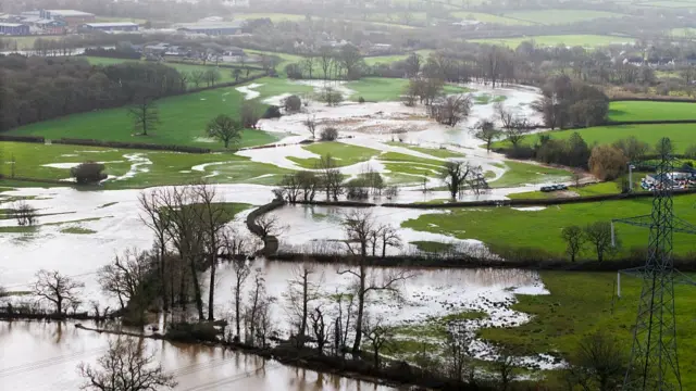
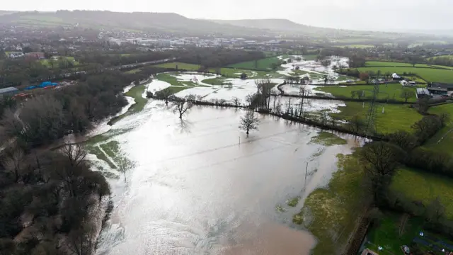
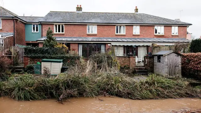
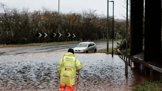
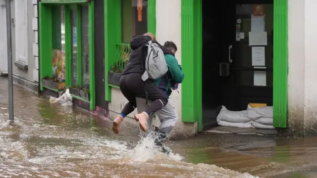
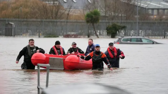
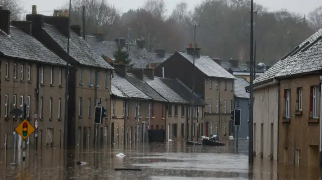
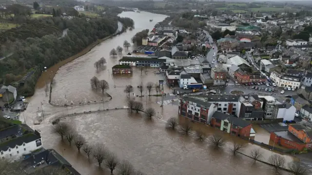
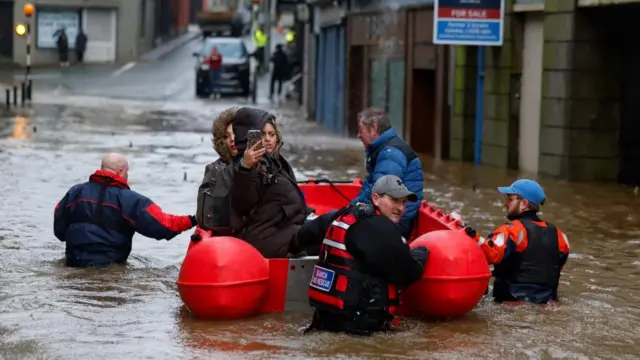
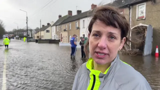
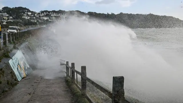
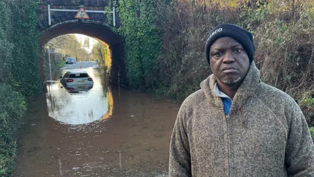
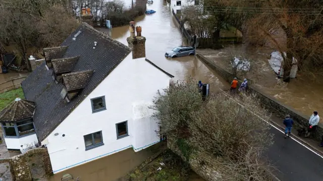
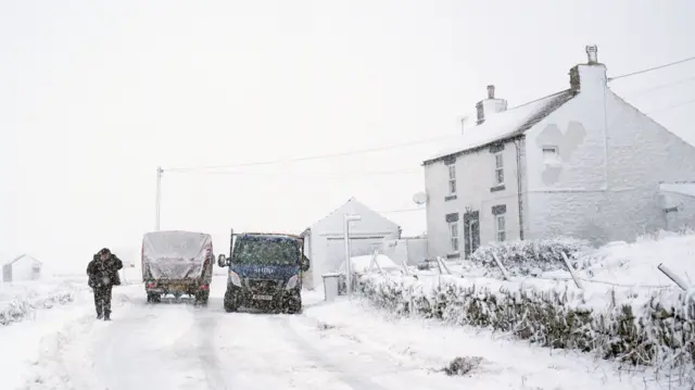
Large parts of the UK have been hit today by flooding and strong winds as Storm Chandra swept across the country.
Two danger-to-life flood warnings were issued; one in Devon after the River Otter reached its highest recorded level and burst its banks – this one has now been lifted, but another remains in Dorchester.
Travel was inevitably disrupted - we've got a full rush hour round-up for details on how your commute home might be impacted.
Rainy skies even meant that some places set new provisional rainfall records for a January day, with Katesbridge in Northern Ireland topping the lot as it recorded 100.8mm – its wettest day ever.
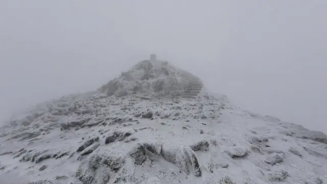
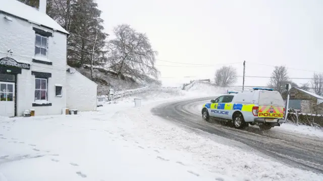
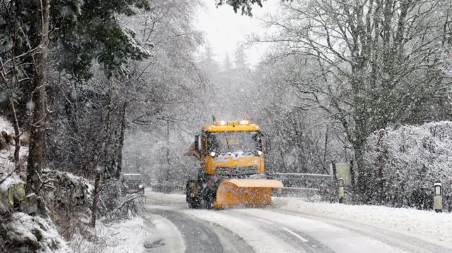
As we move into tonight, BBC Weather's Stav Danaos tells us, Storm Chandra is expected to clear northwards, bringing clearer skies and lighter winds.
This does mean, though, that icy stretches are likely to develop as temperatures drop.
The Met Office has put yellow ice warnings in place for large parts of England, north Wales and southern Scotland, coming in at midnight and lifting at 10:00 on Wednesday.
A separate yellow ice warning for Northern Ireland is in place from 03:00 tomorrow morning until 10:00.
That brings our live coverage to a close, but we'll keep our news story updated with further developments.