People told to remain vigilant as more rain on the waypublished at 16:19 GMT 10 February
Charlotte Hadfield
Live reporter
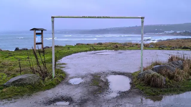
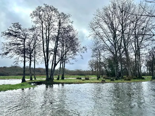
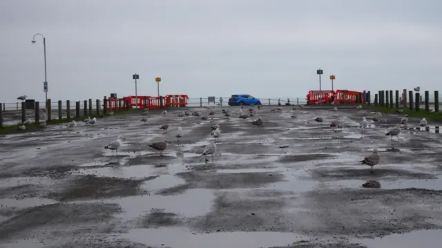 Image source, BBC WEATHER WATCHERS/PETER AND LEAH
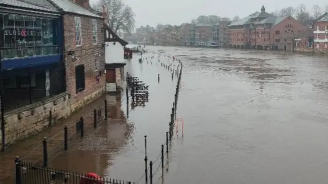
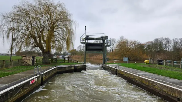
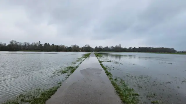
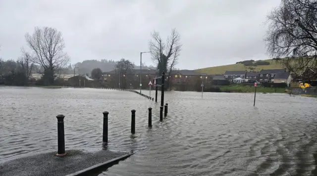
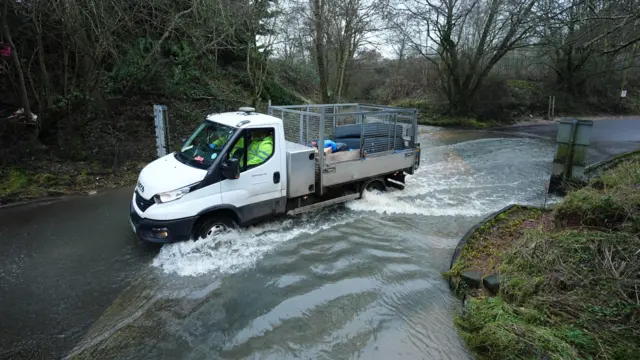
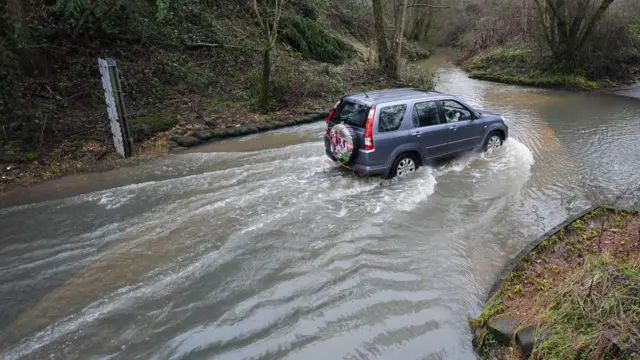
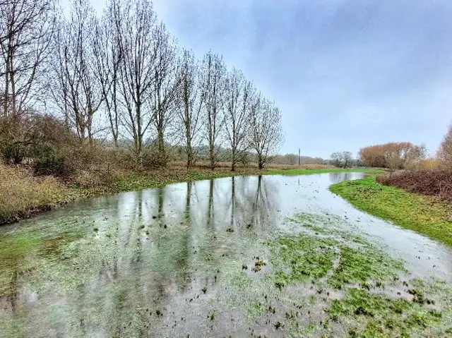
It's been a soggy start to February for parts of the UK, with heavy downpours leading to the flooding of homes, roads and businesses in some areas.
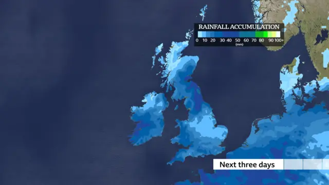
A "blocked" weather pattern is behind the wet weather which looks set to continue over the next few days.
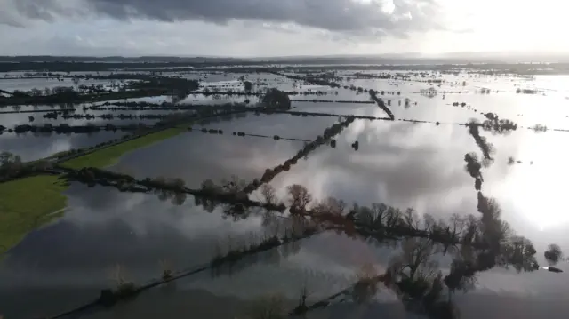
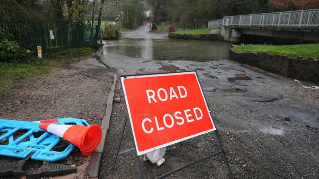
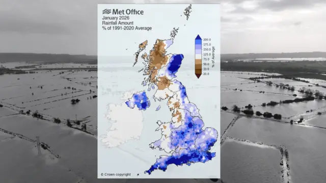
It's the persistent nature of the rain that's led to the flooding issues, particularly towards the south-west of England where it's rained for 41 days in a row in some places, reports BBC Weather's Darren Bett.
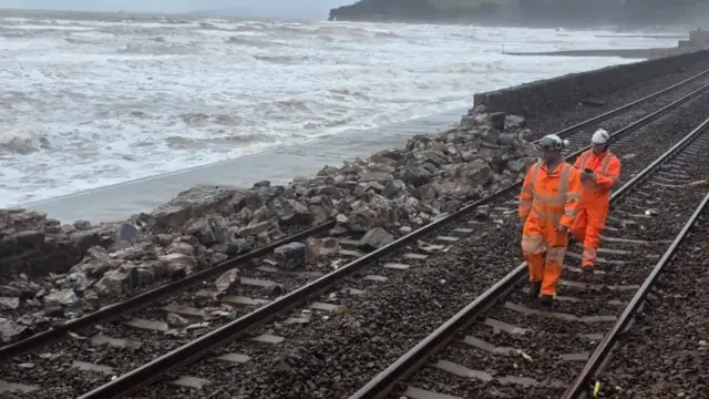
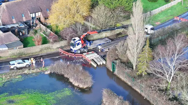
The Government's Floods Minister Emma Hardy has visited the region today, where aerial images show widespread flooding.
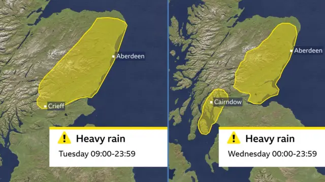
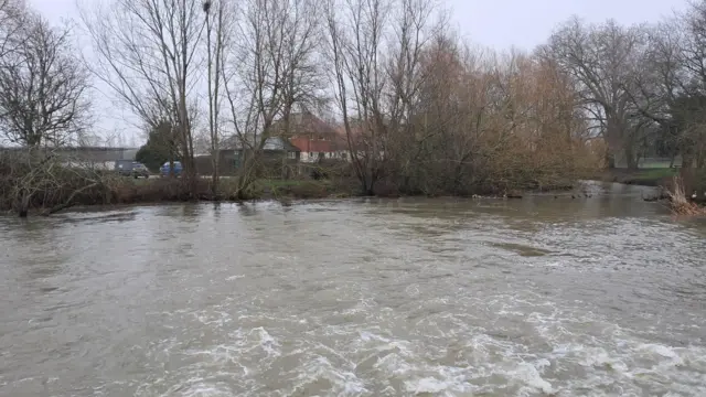
Ninety seven flood warnings remain in place across England, while two have been issued in Scotland, where the Met Office has extended a yellow weather warning for parts of the west coast on Wednesday.
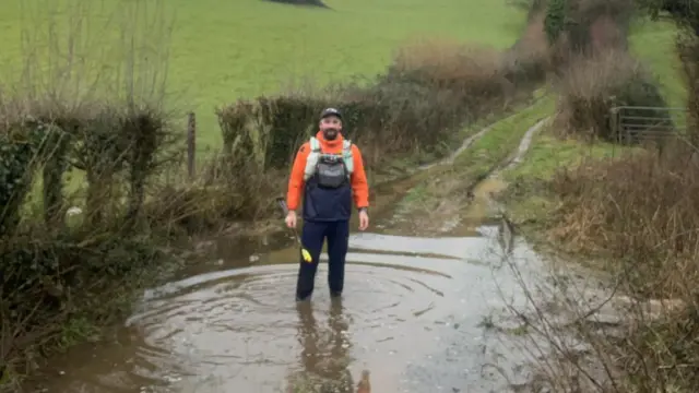
In an update this afternoon, the Environment Agency says that "with another band of rain on its way, we need the public to remain vigilant to the risk of flooding".
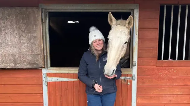
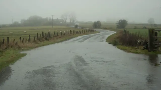
And automotive mechanic in Abderdeenshire Mac White, says the flooding is filling up potholes so people can't see them.
After what was the wettest January on record for parts of Cornwall and County Down, some people may be asking when the rain is going to stop? We've got you covered.
- We're closing our live coverage there, but for more you can check out our news article
BBC Weather's Darren Bett gives us the forecast for the week ahead