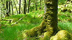
Culbin Forest
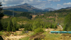
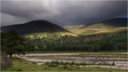
Iain Stewart visits Culbin Forest in Moray. What had been a desert of mobile sand dunes was stabilised by the planting of trees by the Forestry Commission in the 1920s. This was a challenging place to grow trees due to poor soil lacking in nutrients. Visiting the Cairngorms, Iain hears there is more to the postcard perfect views than meets the eye Iain discovers the riches of Ariundle oakwoods in Sunart
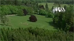
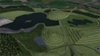
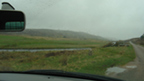
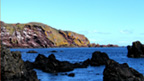
Culbin Forest sits on the Moray Firth between Nairn and Findhorn. It was once the site of a prosperous farming estate. Coastal sand dunes were gradually destabilised as local people removed plant cover, including marram grass, which they used to thatch their homes. The once fertile area was gradually covered with sand. In 1694, a great sandstorm finally buried the estate, turning the area to desert.
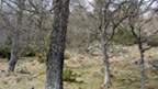
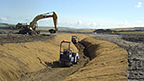
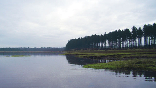
The sand was stabilised by the Forestry Commission in the mid 20th century. From the 1930s onwards, they planted Culbin Forest. At over 9000 acres, the forest mixes native Scots pine with more experimental planting of species including Corsican pine and Norway Spruce.
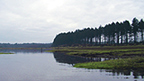
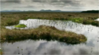
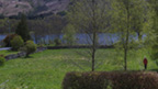
Between the forest and sea is an area of saltmarsh, winter home to thousands of birds. The landscape here is constantly changing and being shaped by coastal processes.
Moray Group
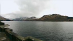
Moray is one of Scotland’s 32 unitary council areas. It borders Aberdeenshire and Highland with a coastline on the Moray Firth.
The Moray council area was created in 1996, adopting the existing boundaries of the former Moray district of the two-tier Grampian region.