Women using satellites to track coastal erosion
Women from Sri Lanka and France using images taken from space to counter coastal erosion.
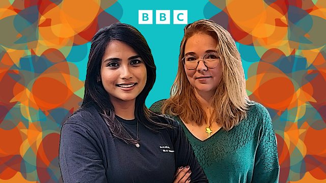
Rising sea levels and increasingly powerful storms are threatening coastlines, low-lying island states and coastal cities around the world. Ella Al-Shamahi talks to two women from Sri Lanka and France about how they’re using satellites to track coastal erosion and develop strategies to reduce its impact on populations.
Sarah Dole is a Sri Lankan physicist and entrepreneur leading a satellite image analysis project in the Maldives, the world’s lowest lying country, looking at the rate at which beaches erode. She co-founded Invena – a company carrying out research and helping develop technology that aims to preserve low-lying nations.
Anne-Laure Beck is a French geomatic and remote-sensing engineer. She's the EU lead on coastal erosion for the environmental consultancy Argans. They use satellite-based earth observation and geographical information systems to map and monitor environments in order to track coastal erosion and accretion to inform coastal management and protection plans.
Produced by Jane Thurlow
Image: (L) Sarah Dole credit Ali Amir @aliaerials. (R) Anne-Laure Beck credit Anne-Laure Beck.)
Last on
More episodes
Previous
Broadcasts
 Mon 16 Dec 202404:32GMTBBC World Service
- Mon 16 Dec 202413:32GMTBBC World Service except East and Southern Africa, News Internet & West and Central Africa
- Mon 16 Dec 202418:32GMTBBC World Service East and Southern Africa & West and Central Africa only
- Mon 16 Dec 202423:32GMTBBC World Service except East and Southern Africa & West and Central Africa
- Sun 22 Dec 202401:32GMTBBC World Service East and Southern Africa, Europe and the Middle East & West and Central Africa only
The best of The Conversation

Enlightening, inspiring, revealing: Some of our favourite Conversations so far
100 Women

Global experience on image, work, relationships, equality, migration and working lives
Podcast
![]()
The Conversation
Two women from different parts of the world share the stories of their lives