
An image from a Victorian board game, Jumbo the Children’s Friend, is one of thousands of items available to view and download
A new website has made thousands of books, maps and manuscripts from the Bodleian Libraries in Oxford available to the public.
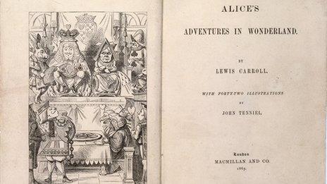
One of the earliest maps of Britain and images from Victorian board games are some of the items that can be viewed at Digital.Bodleian, external.
All images can be downloaded for non-commercial use under an open licence.

The Gough Map is believed to be the earliest recognizable map of Britain
Previously many images could only be seen by obtaining an Oxford University Bodleian Libraries' readers card.
Other digitized texts and images that were publicly available were on separate websites, databases and image galleries.
Lucie Burgess, associate director for digital libraries at the Bodleian Libraries, said: "Digital.Bodleian will bring together the riches of the Bodleian's digitization programme over the last 20 years and will allow people to discover our unique collections through a single, innovative interface."

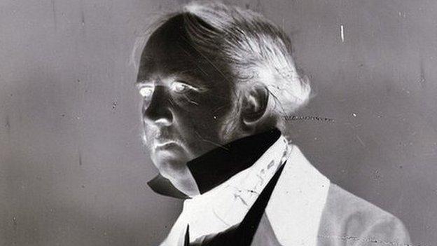
The digital collection includes British political cartoons about the Napoleonic wars and Napoleon's career
- Published21 March 2015

- Published15 May 2015
- Published1 July 2015
- Published1 January 2015
.jpg)


.jpg.webp)
