Geography skills
Mapping the world
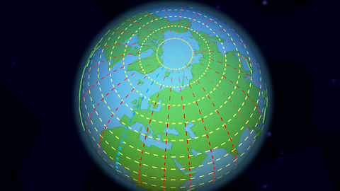
Discover that from space, the Earth looks like a ball.

Understanding latitude and longitude
To help locate where a place is in the world, people use imaginary lines called latitude and longitude.
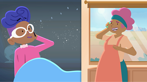
Understanding time zones
Did you know that when it's daytime in the UK, it's night-time in Australia?
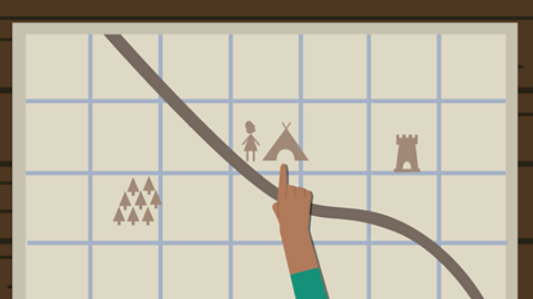
What is a map used for?
A map is a two-dimensional drawing of an area which helps plan routes.
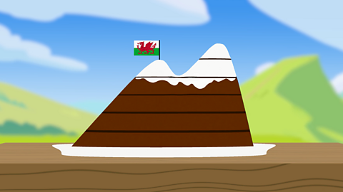
Understanding contours, keys and symbols
Ever wondered what all those funny drawings and curved lines are on a map?